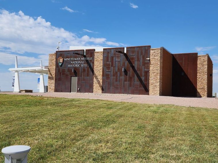
On the way out of the Badlands on Sunday 8/27, our first stop was the Minuteman National Historic Site. Those of you from New England might be asking why is there a Minuteman site in SD – they weren’t even part of the US when the Minutemen were a thing. Well, this is for the Minuteman missiles – the major part of that MAD (Mutually Assured Destruction) policy during the Cold War. In the 70’s and 80’s there were around a thousand missile silos scattered between North and South Dakota, Montana, Nebraska and Wyoming. The closer to the Canadian border the better, as we would be shooting over the north pole as the shortest distance to Russia.
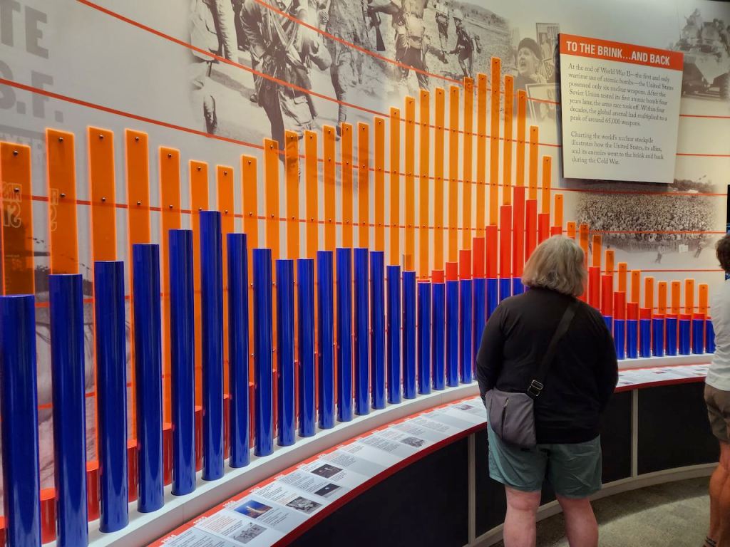
The Visitors Center for the Minuteman National Historic Site, and a graphic showing the number of nuclear missiles, blue is the US, dark red is USSR/Russia, and the orange is the total in the world.


Of course, if there were any coming toward the US, they would be here in the same time. And there were some scary stories of how close it came a couple of times.
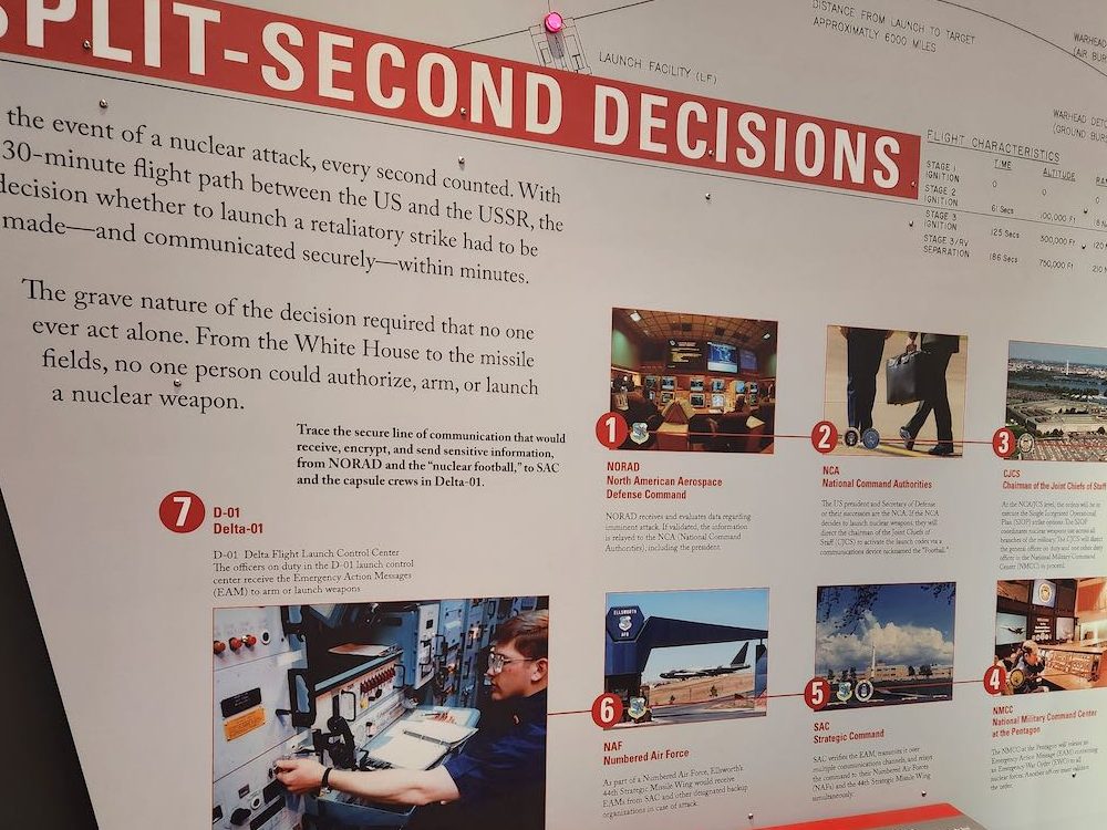
And there wasn’t long to make a decision as to what to do.

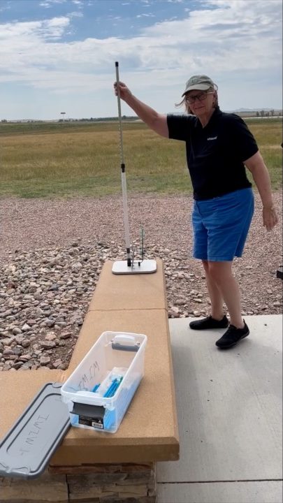
Okay, maybe this was set up for kids, but I had to give it a try. If you want to see me in action, check out this movie: https://www.dropbox.com/scl/fi/qr545775hc9yg3o93fu4c/IMG_5587.MOV?rlkey=82qw3w2e3k9xwp98swre0j5ax&dl=0.


Then we went out to the site of a decommissioned silo where you can walk on the site, and they have the actual silo covered with plexiglass, so you can see how the missiles sat in the silo.

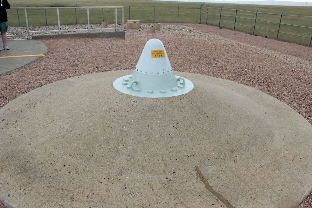
This was the first rain that we had and it was a about a 30 minute shower exactly when we were wondering the site. To the left is looking into the silo, under the umbrella and to the right is the “hardened” communication antenna.
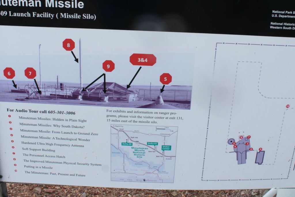

Here is a description of the site (there was one of those phone audio tours to listen to) and my overview shot of the site.
Then we were on the road, with a stop in Rapid City to get some supplies for the trip – including bear spray. We checked in at the campground and then drove the RV over to Mount Rushmore.


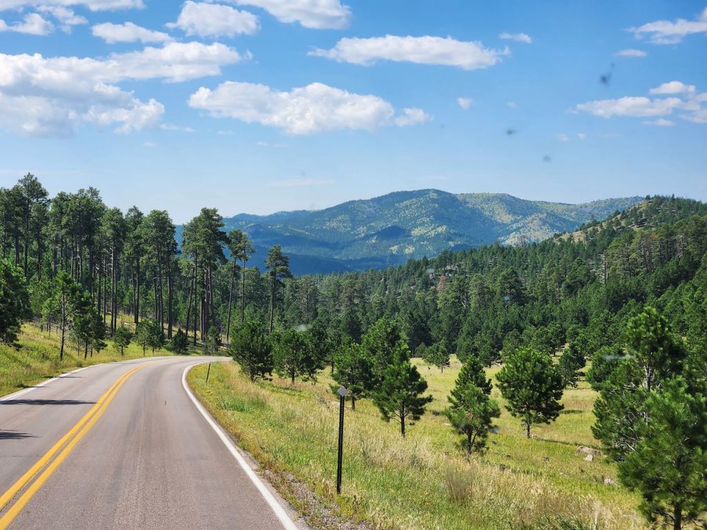
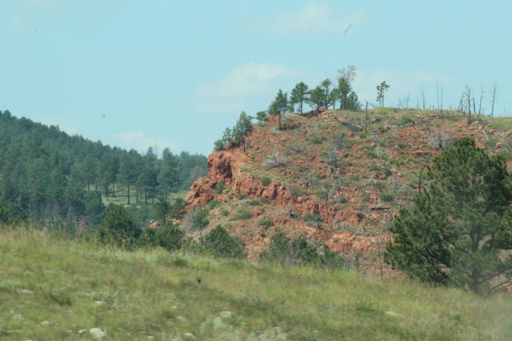
Scenery on the way to Mount Rushmore, and a tunnel we could fit under – other roads to Mount Rushmore were off limits to us, even with our smaller rig.


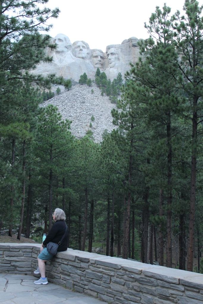
Our first views from the road into the monument.
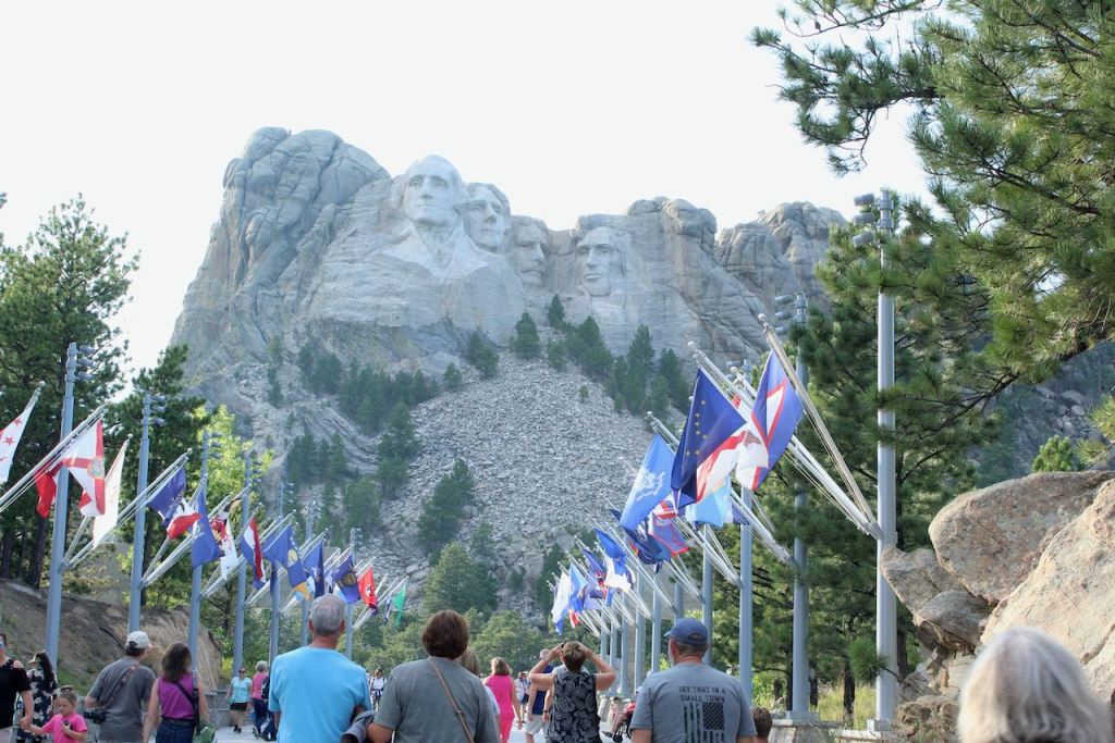

Walking the Avenue of the Flags – I should have been by the Connecticut flag.
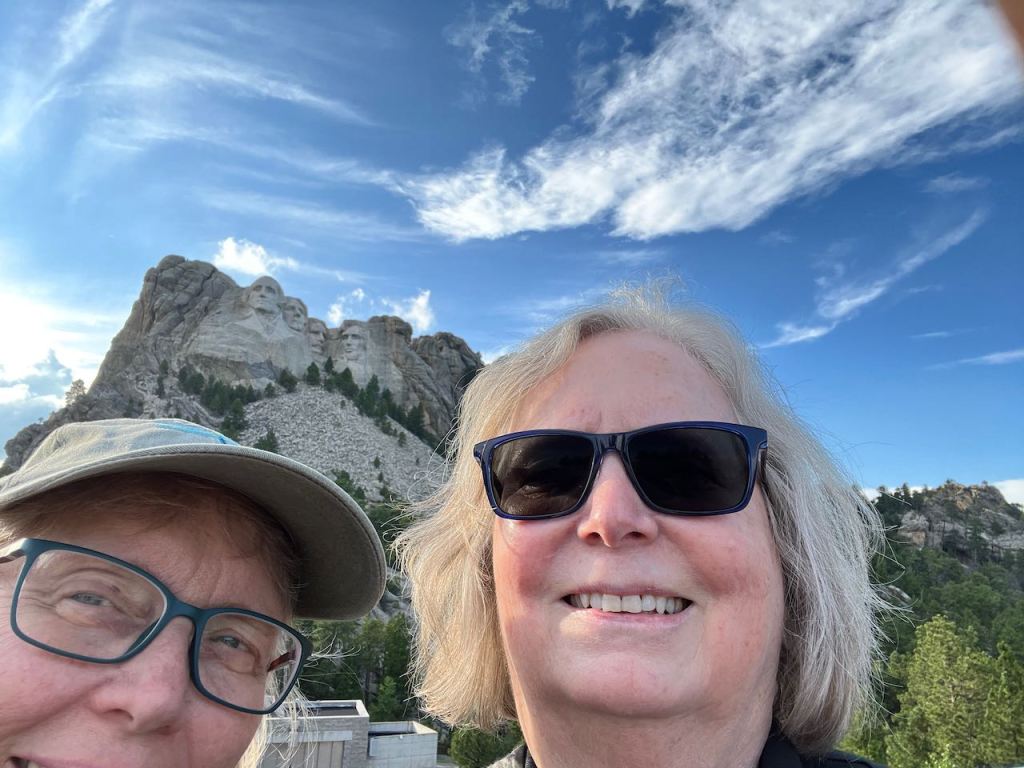

We didn’t do so well with the selfie, but then one of the other patrons helped us out.

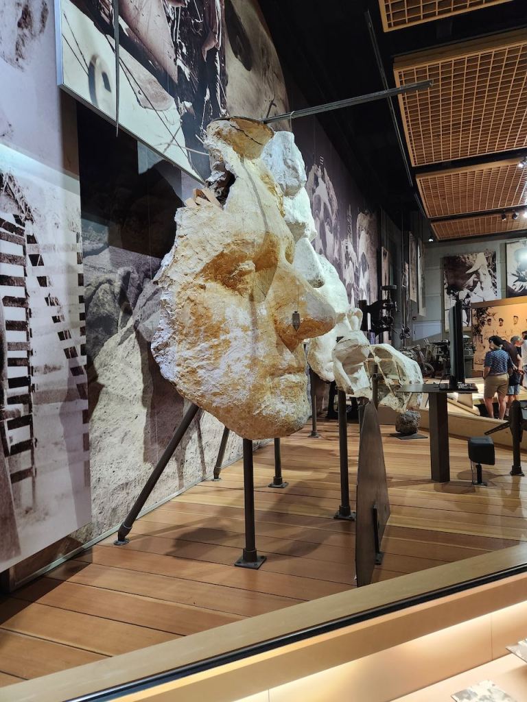
Gutzon Borglum was the sculptor responsible for Mount Rushmore. He made sculptures that were one inch to one foot, and then they used the mechanism shown on the above right with the hanging weight from the pole to figure out where on the mountain needed to be removed. Of course there were sometimes changes if the rock didn’t cooperate.

Gutzon died in March of 1941, so his son completed the finishing details for the October 31, 1941 final dedication.
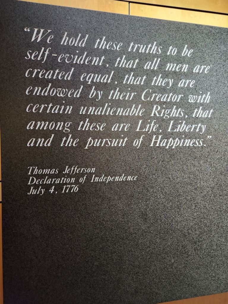

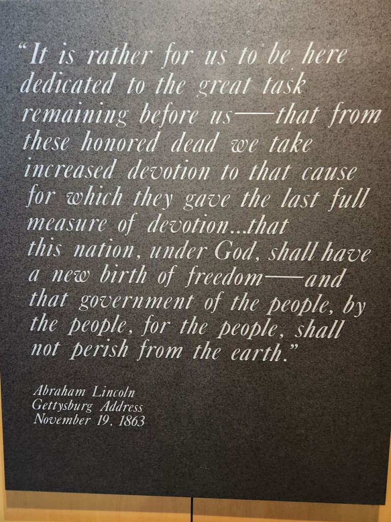
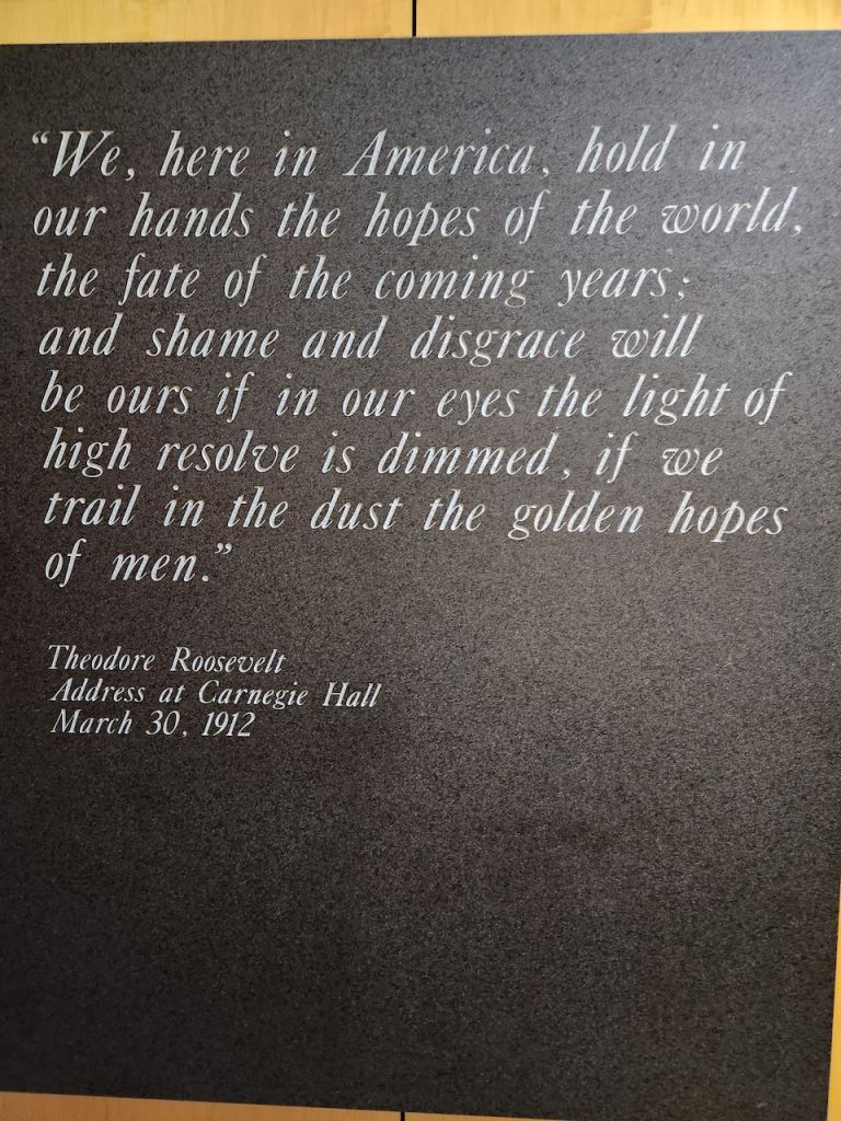
In case you don’t recognize thm, here are quotes from the four presidents who are portrayed in the sculpture.
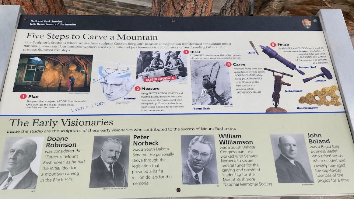
An explanation of how the mountain was carved, and the key people that brought the project from original thought to final realization.

Some of the most important people involved in the project.
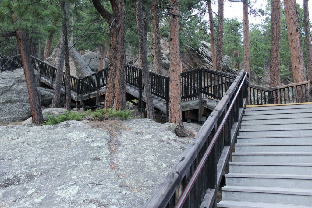
After going through the museum and watching the movie about the construction of the monument, we decided to at least start the President’s Trail. there are warnings that it is strenuous and there are 465 steps, but it takes you out to the edge of the blasted off rock field at the base of the monument, so you get some closer views. (Trish calls that boulder field vomit, saying that these guys would be throwing up if they were part of the political scene today.)
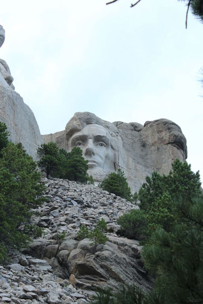

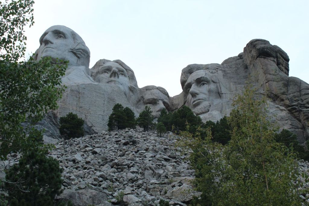
Here are the close up shots of Lincoln and Washington.
And I heard some one call this the “looking up the nose” shot.
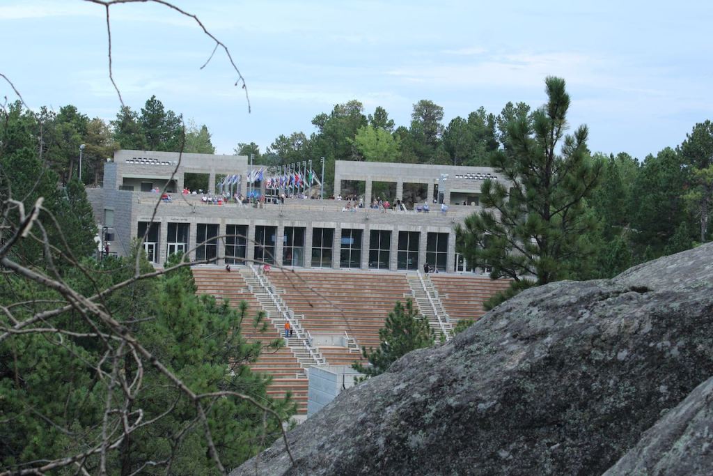
Looking back at the amphitheater and out over the landscape from the trail.
The way we took the trail, most of the steps were down – with only about 100 of them being steps up (and most of the inclines we pretty gentle.)
While I was resting on the way back up to the pavilion, I did capture this photo of Trish also resting.
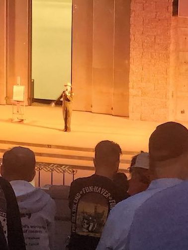

We were early for the 8 pm start of the evening program, so we staked a spot in the amphitheater and played on our phones. The program started with Ranger Dan giving a 10 minute talk about the Declaration of Independence, the 4 presidents and the meaning of Freedom. He was quite impessive. Then there was a 20 minute film called Freedom.
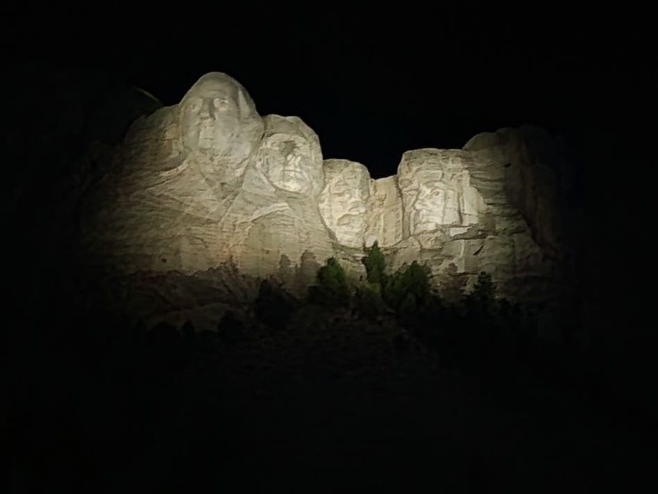
At the end of the movie we sang the Star Spangled Banner and they lit up the monument.
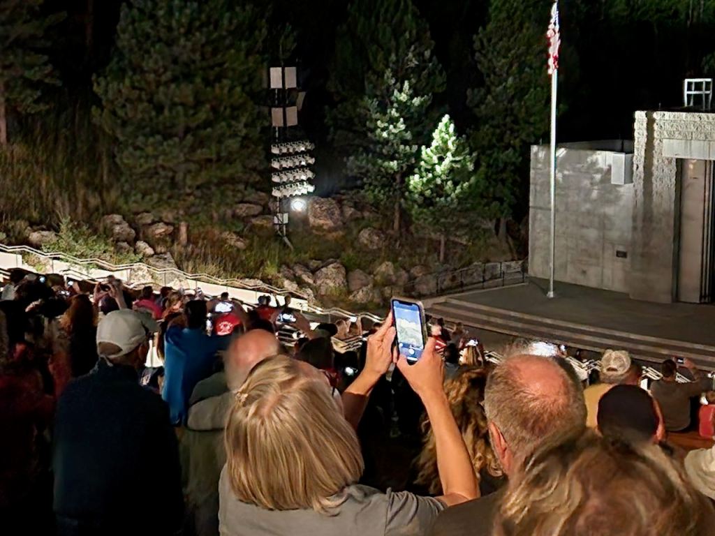

Everyone was taking pictures. After that, they invited all active duty and retired military to the stage for the flag lowering. The whole ceremony was very moving.


Then it was back along the Avenue of Flags with everyone else who had been there. We did a little better with this selfie. As we hadn’t had any dinner, we ate some Cheerio’s and let the traffic dissipate before we headed back to our camp for the night.

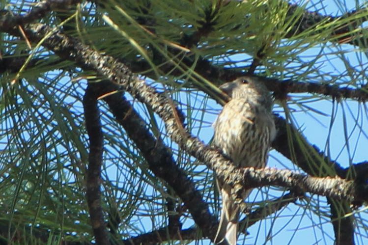
We did a little bird watching from our campsite, before taking off for Custer State Park on Monday, August 28. We heard and then spotted a western meadowlark and a mountain sparrow.
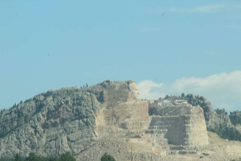

Almost the first thing we drove by was the unfinished Crazy Horse Monument. We didn’t stop, but read that the head of Crazy Horse is 1.5 times the height of the Mount Rushmore heads. No wonder we got a pretty good view from the road driving by.
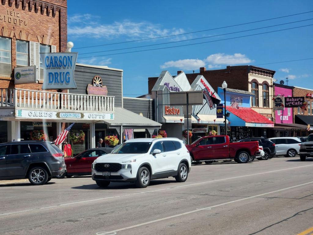

Our first destination of the day was the wildlife drive through Custer State Park, but we drove through some small western towns and by some “interesting” things on the way there.


The drive started with some Black Hills driving, and a couple of road side signs – and yes, the CCC was a big part of developing the park in the 1930’s. They are called the Black Hills because with the dark evergreen trees they often look black, especially when the sun isn’t shining brightly.

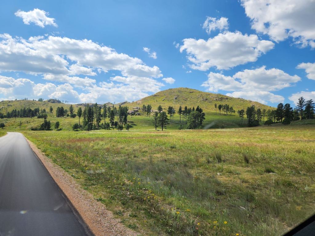

Soon we were beginning to see some more open space and really started looking for wildlife. It’s beautiful country.

Our first were these pronghorn – but they were pretty far out in the field, so not a great shot. BTW, they are not antelope, because they shed their horns every year, while antelope keep theirs for life.
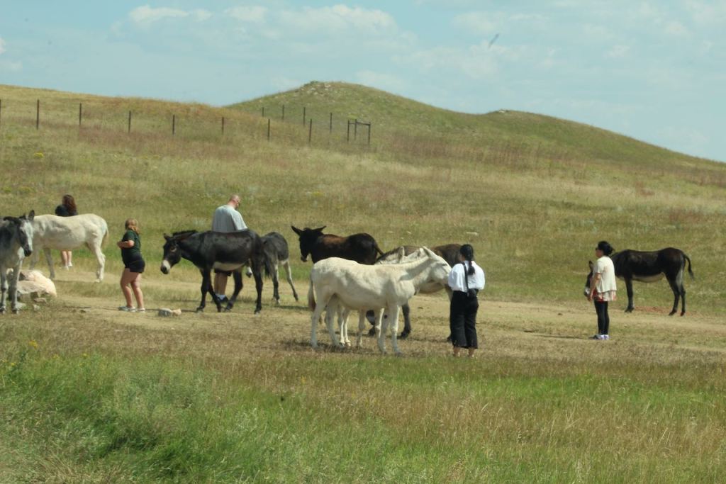

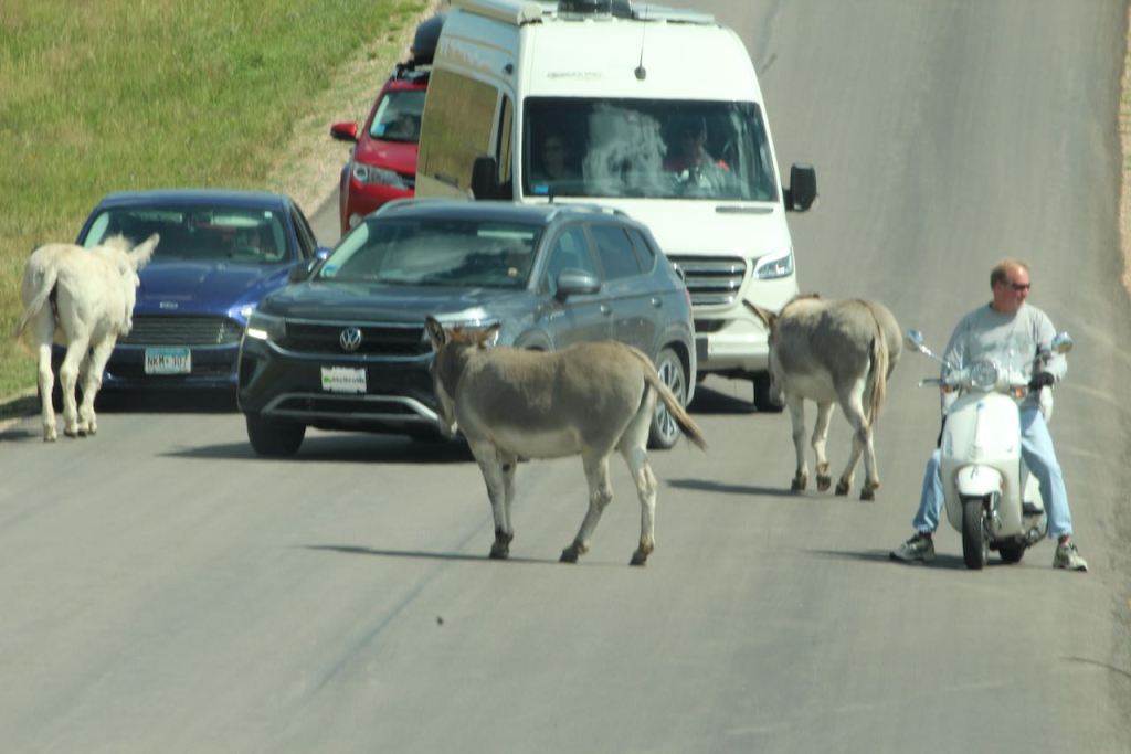
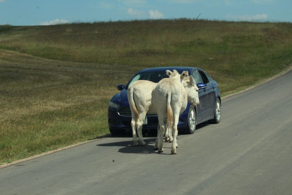
Then we came upon the “begging burros.” They are actually donkeys that are descended from the pack animals that served the tourists in the early 1900’s. We did not feed them but we certainly had to slow down until they got out of our way.
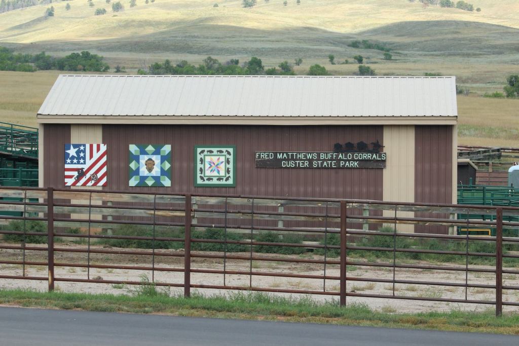

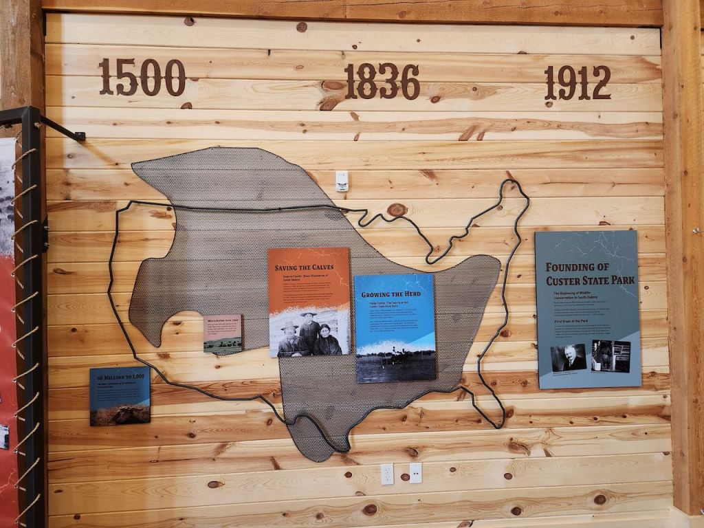
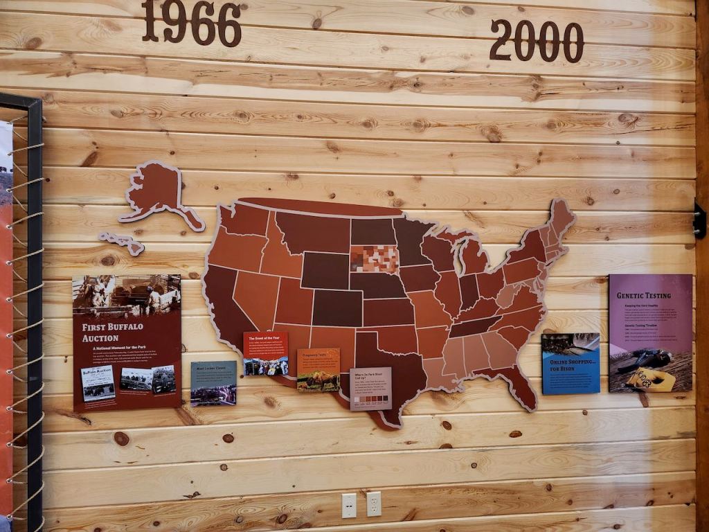
Our next stop was the Buffalo Corrals – don’t ask me why they call them that, since the animals we have in the US are bison. They talked about the history of where bison can be found, and we talked with a docent about the auction they hold every year. They try to keep the herd here in the park to about 1,000 and about 400 calves are born every year, so the auction is a way to keep things in balance – it is not just calves they auction, but all ages, and they sometimes bring some breeding stock in from other locations to keep the gene pool healthy.
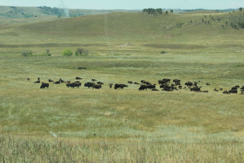
The docent told us which road to go down, and we finally saw a herd of bison.


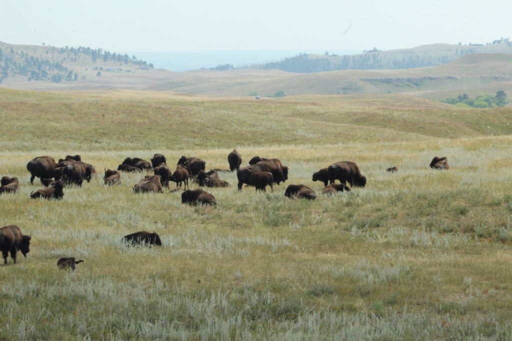

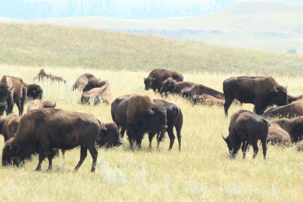
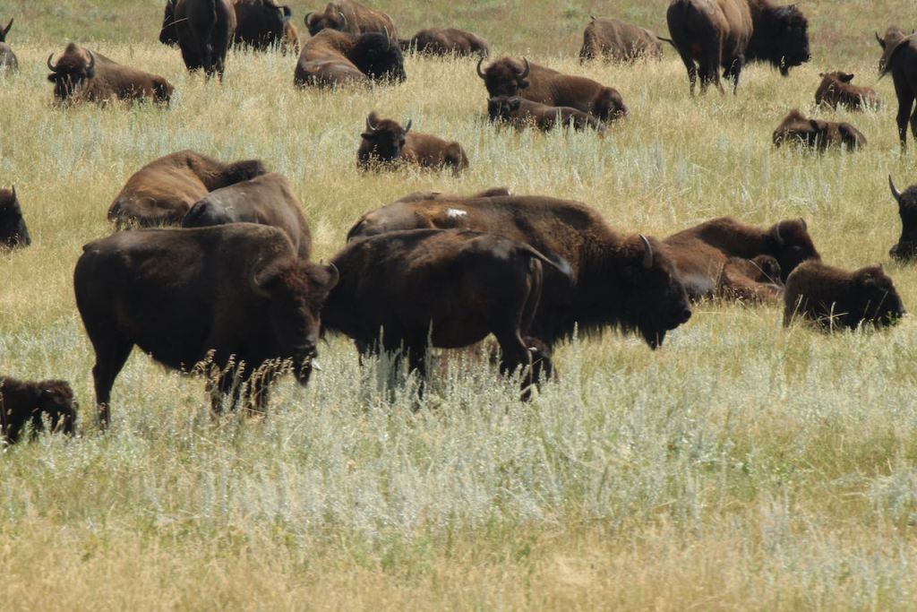
They were all ages.

This shot gives you the best perspective on how many bison there were in the herd.
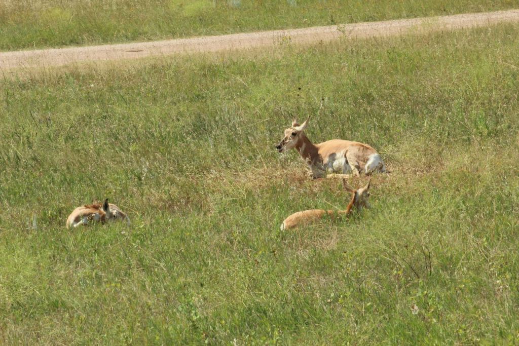
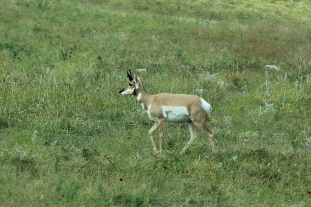


More pronghorn, that we were closer to.
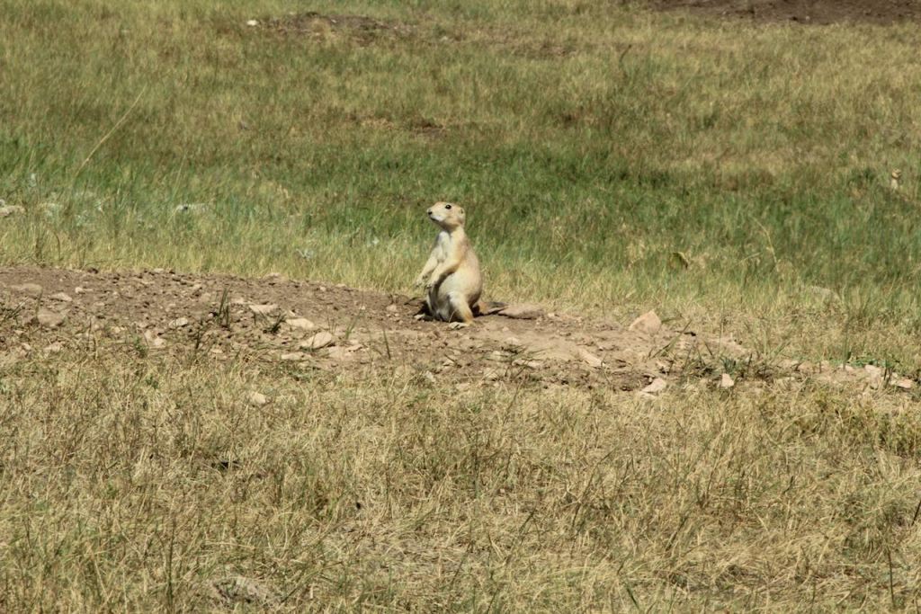
Our last views in the park were some prairie dogs and more beautiful scenery.

Since we did the loop “backwards,” we ended the trip with a visit to the visitors center, where we learned about Peter Norbeck, who worked hard to get this state park established. This bust was done by Gutzon Borglum – you should recognize that name from Mount Rushmore.


On our way to our next campground, we stopped in Sturgis – yes, the motorcycle Sturgis. We were a few weeks after the rally, so it looked nothing like this mural that was on the street.
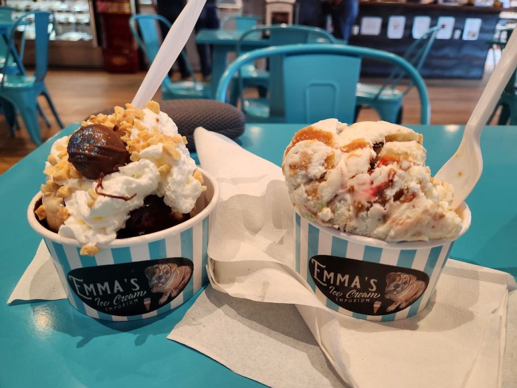
And of course, we found ice cream to finish off our day.
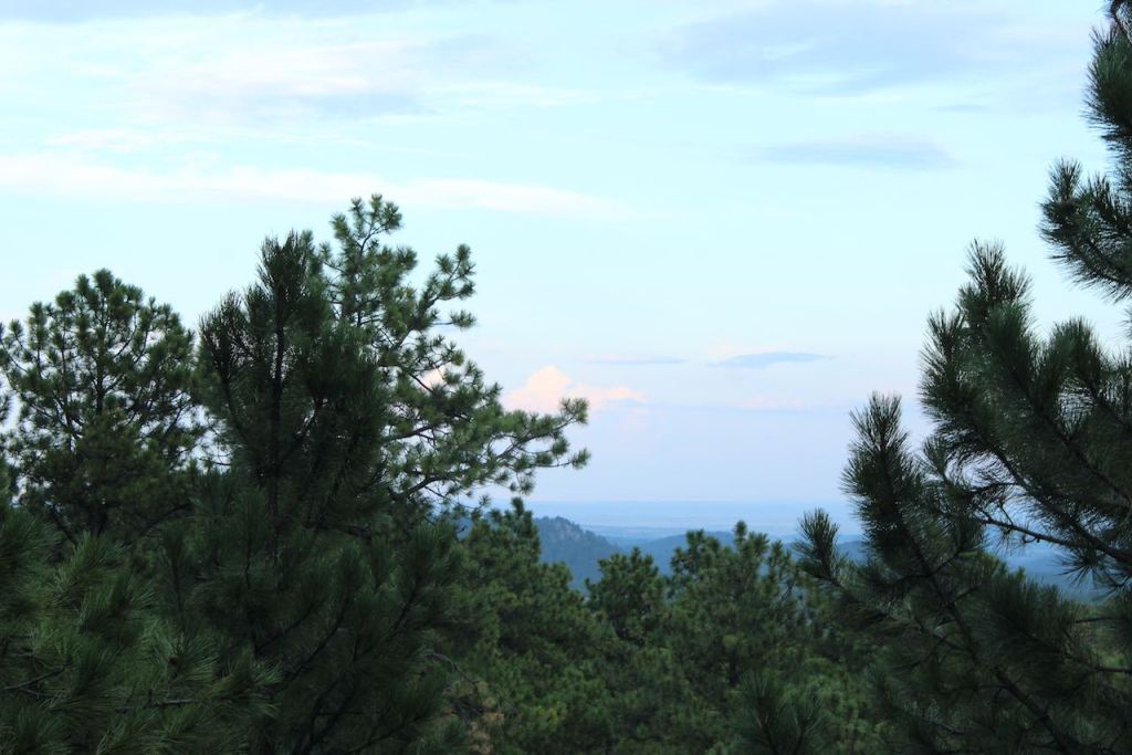
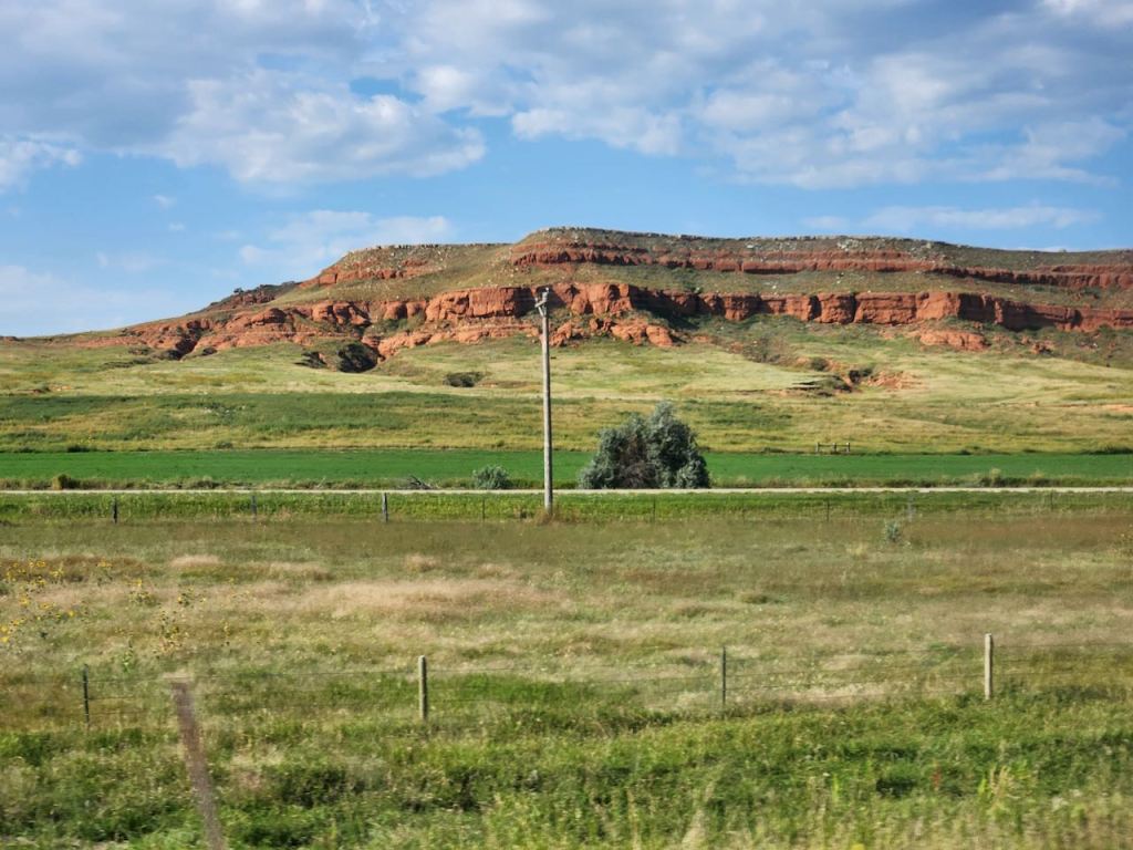
I’ll finish this off with a couple of scenery shots that I took on route to our evening destination.


Til next time, Safe Travels.

Leave a comment