We arrived in Panguitch, UT on Monday, September 25. We met our friends Tina and Jeff at the RV park, which was about 40 minutes from Bryce Canyon National Park. After getting set-up and checking out their cabin, which was right next to our RV site, we took a little ride around the small town. Not much to see, but we got a bit of the lay of the land. Then it was back to the RV park for a grilled steak and chicken dinner (there was a gas grill at the cabin) and a fire after dinner.


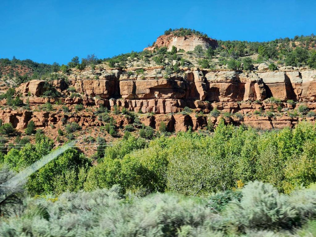
On the way to Bryce Canyon on Tuesday our first stop was at the Red Canyon Tunnels. There are two of them that were carved out from the stone to create the original entrance to what was then called Utah National Park. The official opening was on July 1, 1925, and 315 cars drove through, led by the Governor George Dern. We walked around the tunnel, but didn’t stand in the middle of the road for pictures like some of the tourons did.

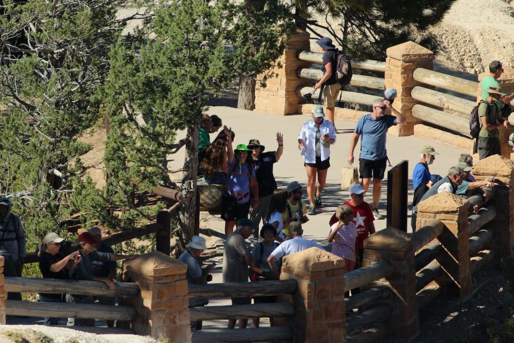
We finally made it to the entrance and a kind tourist helped take our photo. We did stop at the visitor center, but it was too long to wait for the movie, so we headed out the 18-mile drive that leads through the park. One of the things I haven’t told you about is the app I bought that acts like a virtual tour guide. It’s called Guide Along and they have tours through many of the National Parks. It’s neat because you download it, and then it is activated by your GPS position to tell you about what you are approaching. Anyway, Dave said the best strategy for a full day in Bryce was to drive to the end of the road, and then see all the sights on the way back. We took his advice.


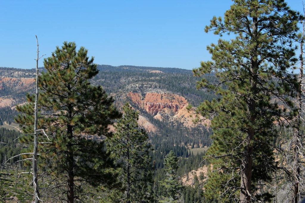
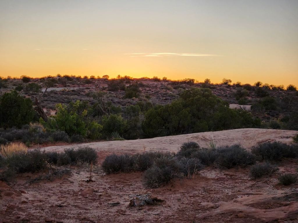
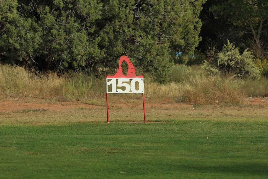
That meant our first stop was Rainbow Point, at an elevation of 9,115 feet. We got our first taste for how impressive and vast Bryce Canyon is. It’s part of a larger region known as the Colorado Plateau – an area of colorful sedimentary rocks uplifted over the last 70 million years, parts reaching elevations of nearly 13,000 feet.


At this stop we walked the Bristlecone Loop trail. It went by some burned out forest, by some great vistas, and past 1,600 year old bristlecone pine trees.
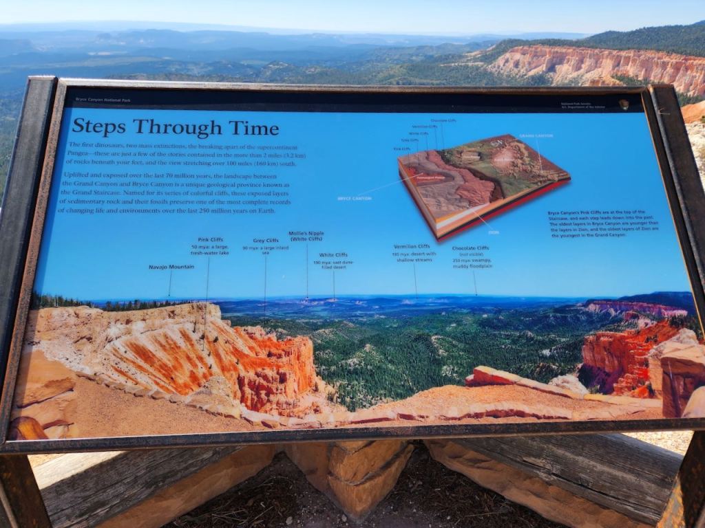

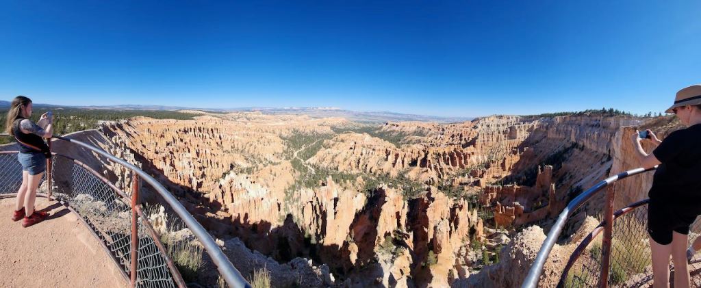
And it took us to Yovimpa Point – with this great panoramic view. The placard gives a little explanation of the geology and ages of the various cliffs and mountains in the view.

Some views of Black Birch Canyon.


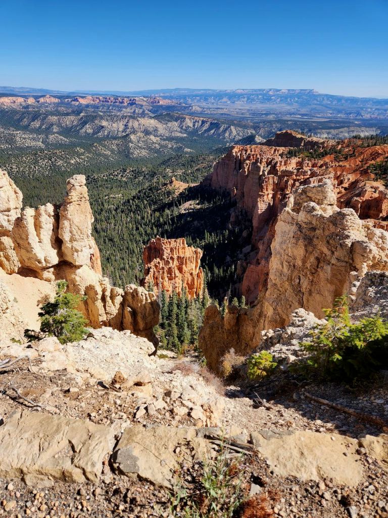
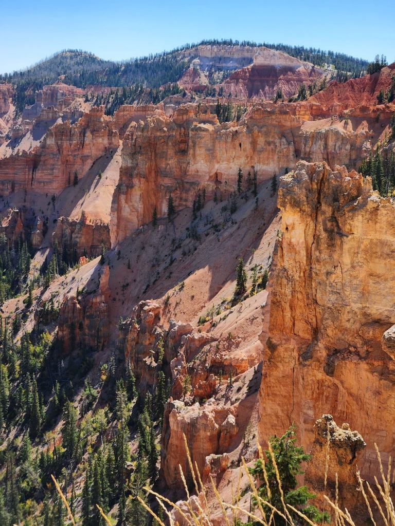
At Pondersosa Point, we began to say “How can every place we go be more beautiful than the last stop?” More great vistas!
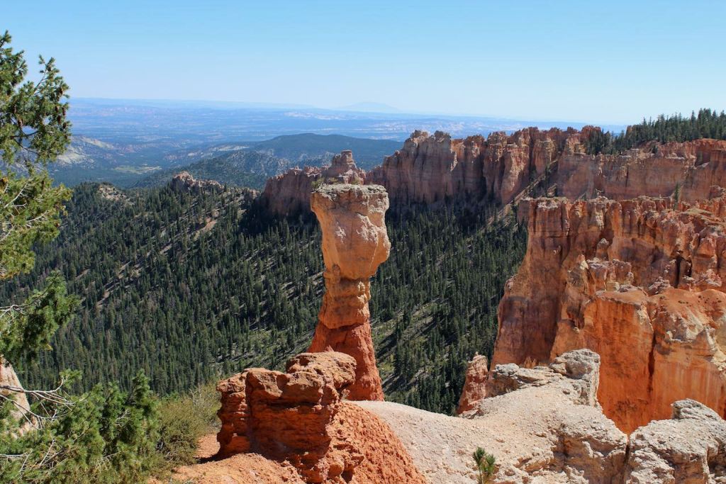
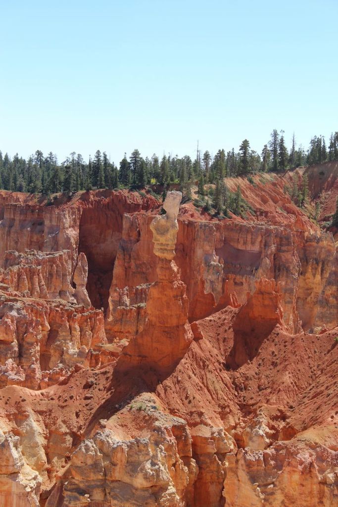
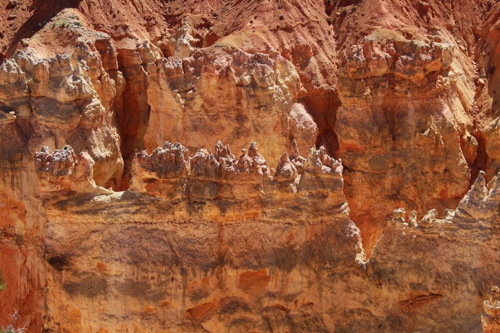
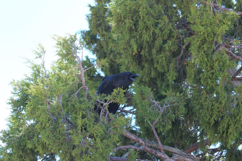
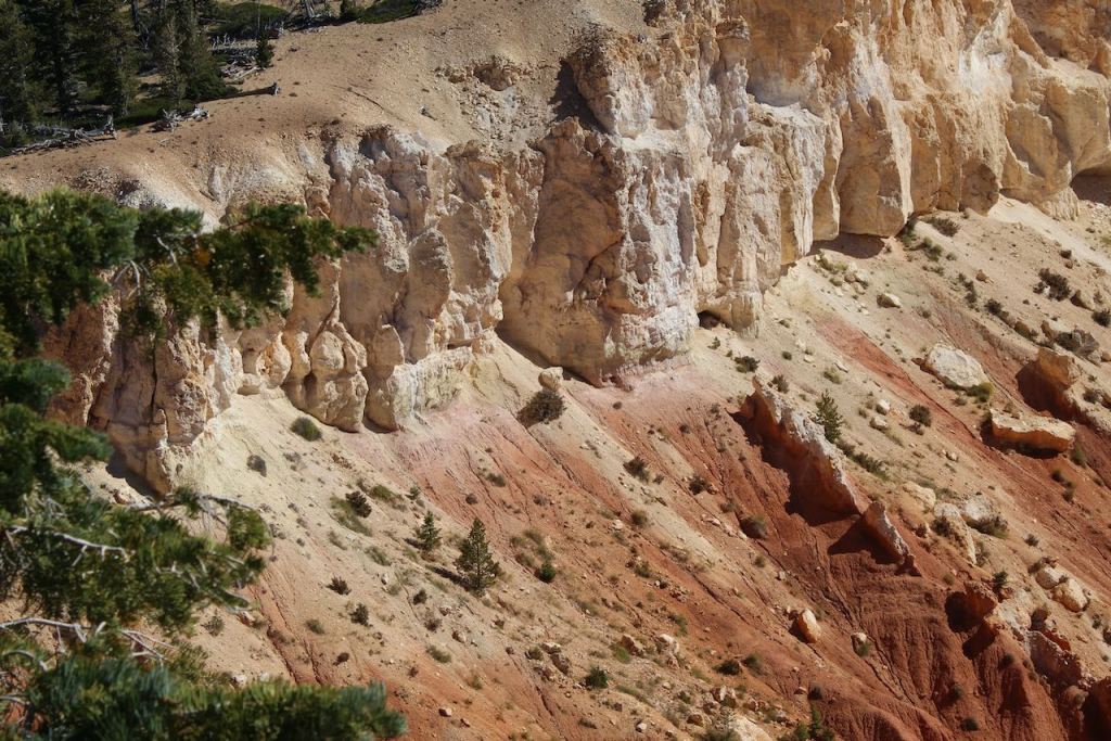
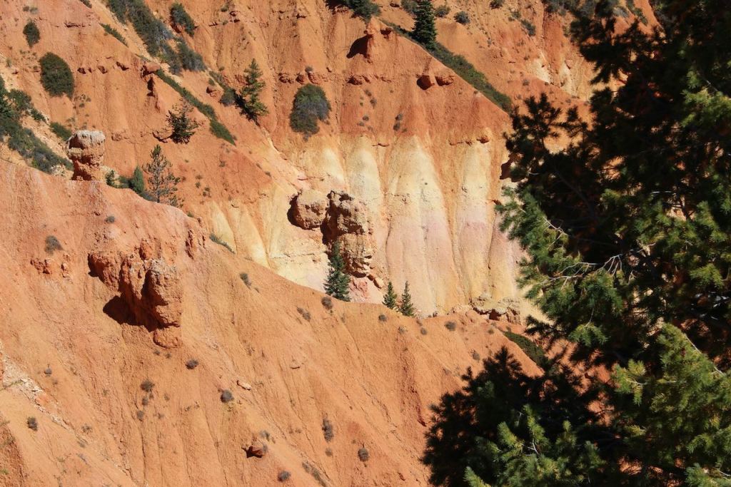
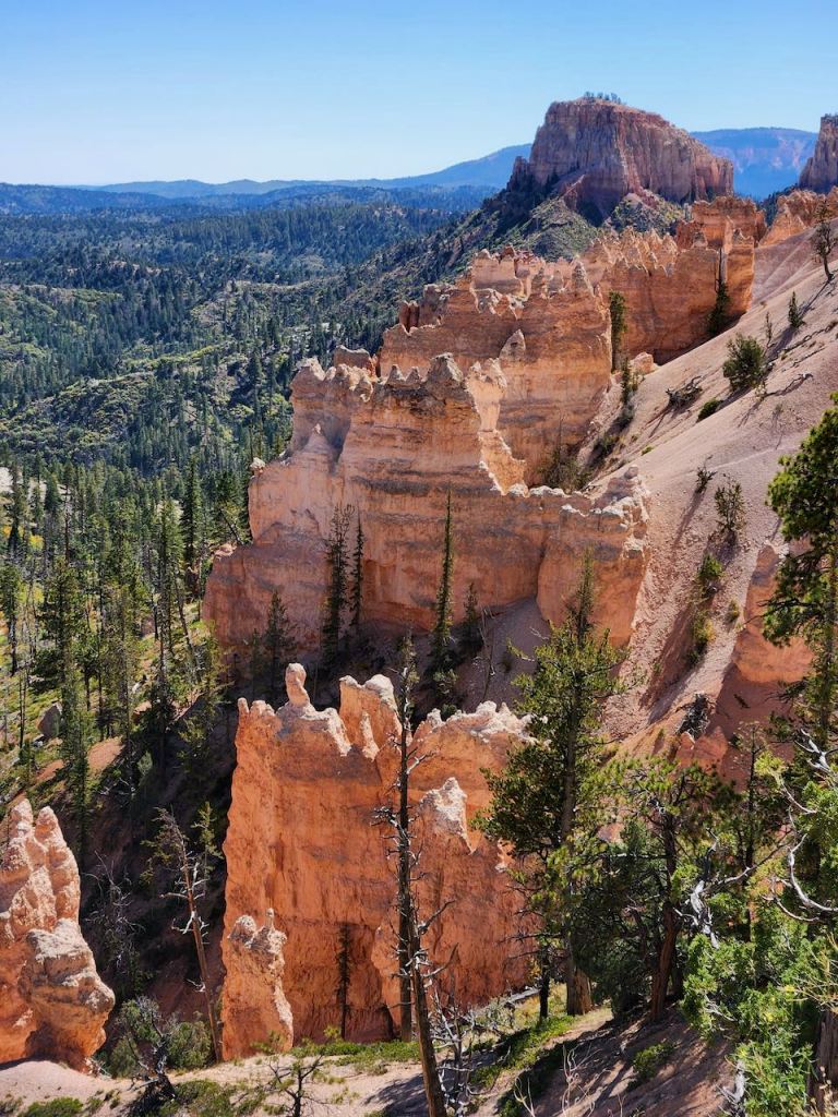
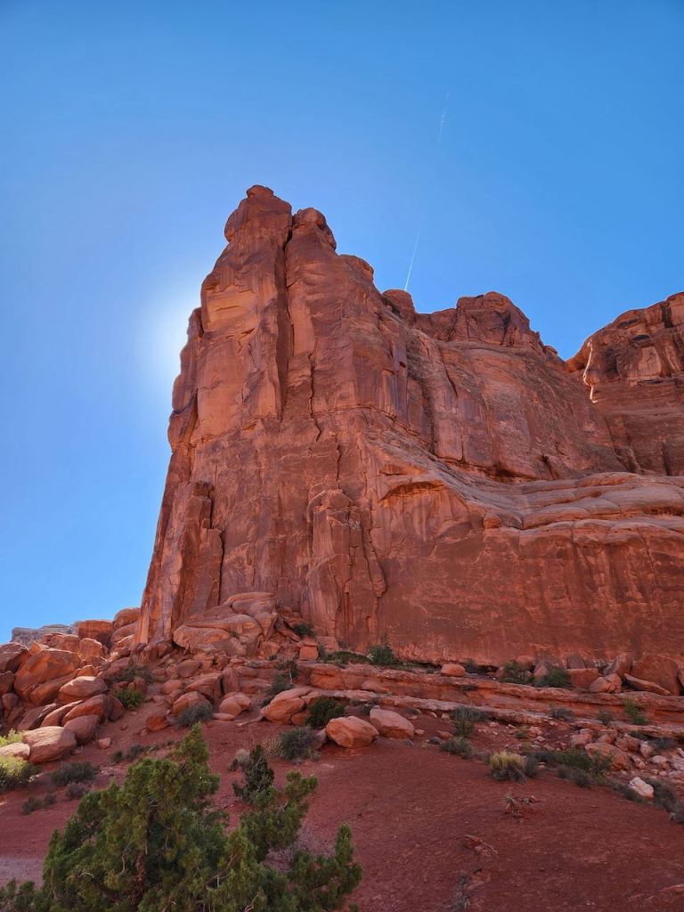
Then it was on to the Agua Canyon Viewpoint (8,800 feet.) The two hoodoo in the top photos are the Hunter and the Backpacker – notice the Hunter has some vegetation growing on it. Bryce Canyon has the largest collection of hoodoos in the world. I told you earlier that this is a sedimentary area that has been lifted to over 9,000 feet. That means that the weather here goes from above freezing to below freezing on over 170 nights each year. This causes the water to freeze to ice, where it expands 9%, and creates the pressure to break apart the rock. Night after night this happens, and eventually the rocks break down into walls, windows, and then to individual hoodoos. You can see in the lower left, one of the walls that has been formed. And this crow was begging for food while we were there.
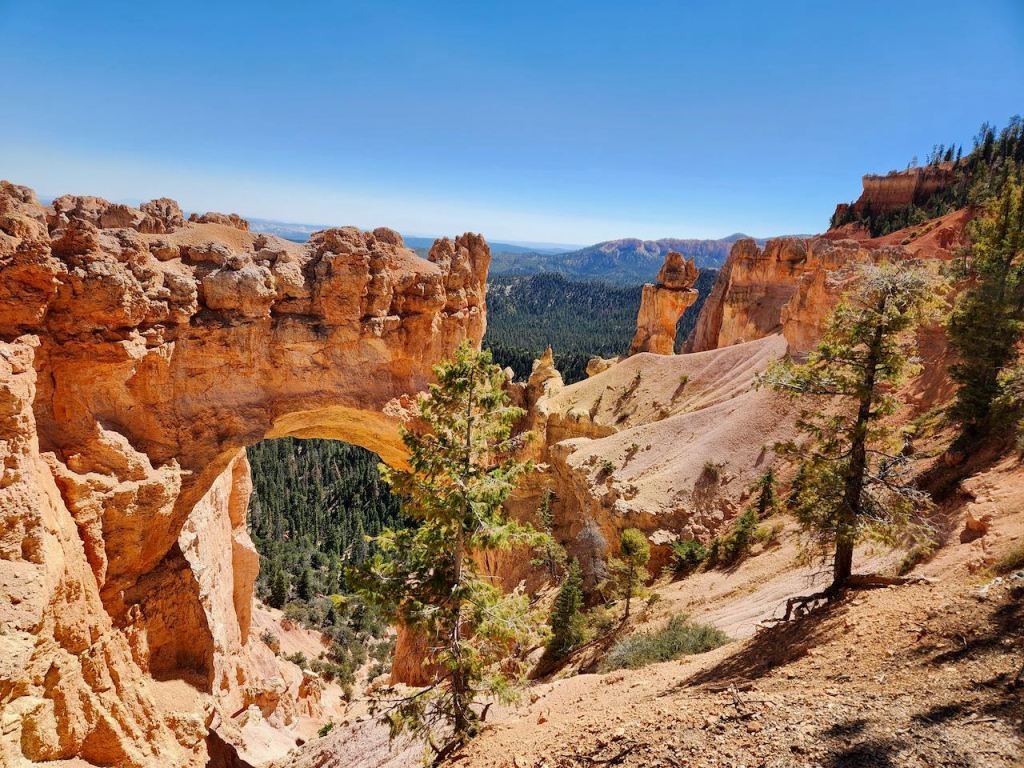

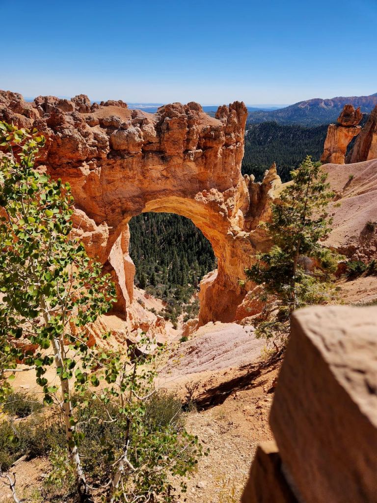
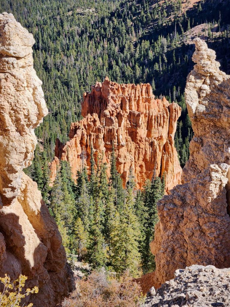
Natural Bridge is not (in geology speak) really a bridge, but an arch. That is because bridges are caused by flowing water eroding the rock away not the frost wedging that I described above. Right now this arch spans 85 feet – no one knows how long it be before it collapses and forms a new hoodoo.


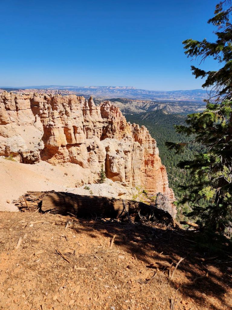
Sometime you can see over 160 miles from Farview Point. Don’t think we saw quite that far, but we definitely saw Navajo Mountain, which is 90 miles from here on the Utah/Arizona border. It’s the darker peak to the right in the lower pictures.

Views from our picnic table, where we were watched by this Grey Jay.


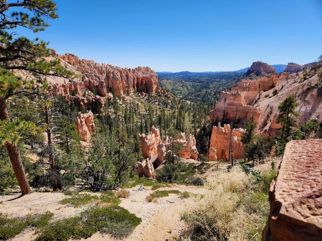
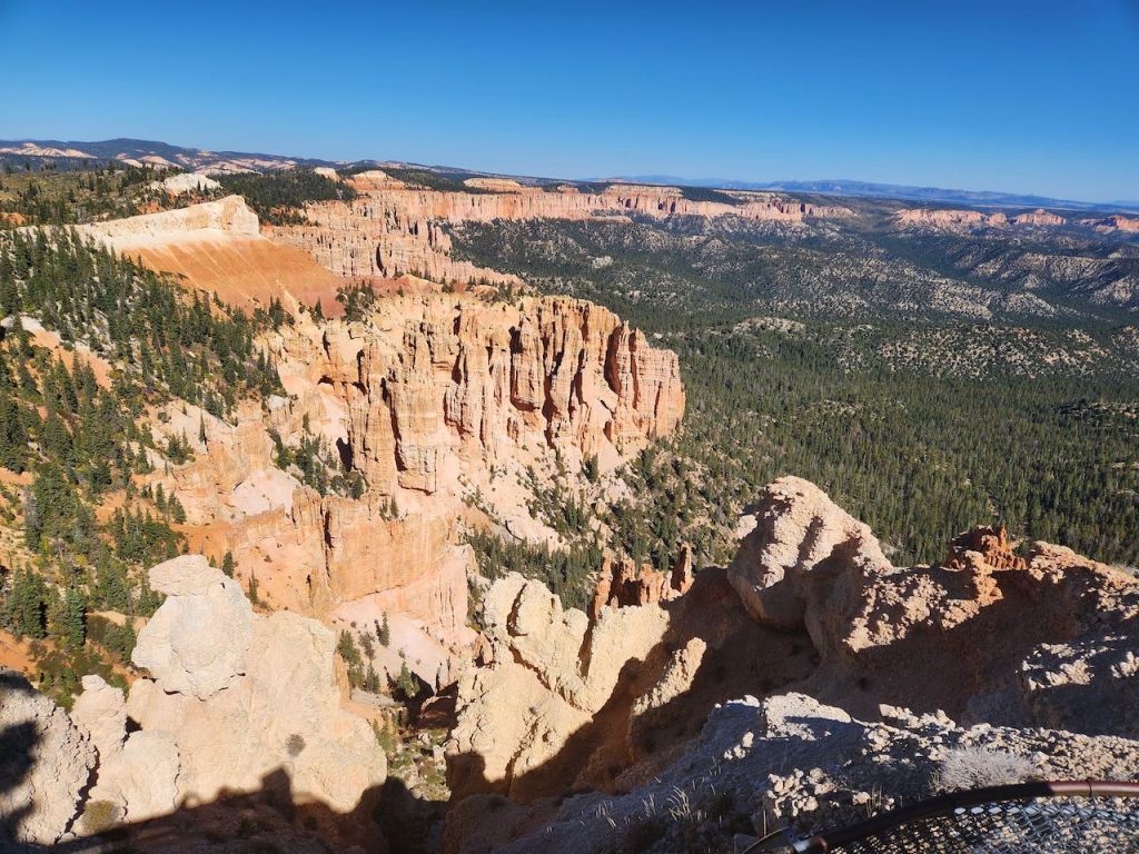
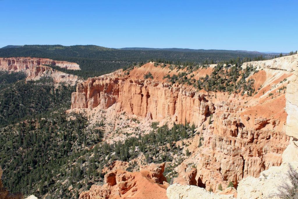
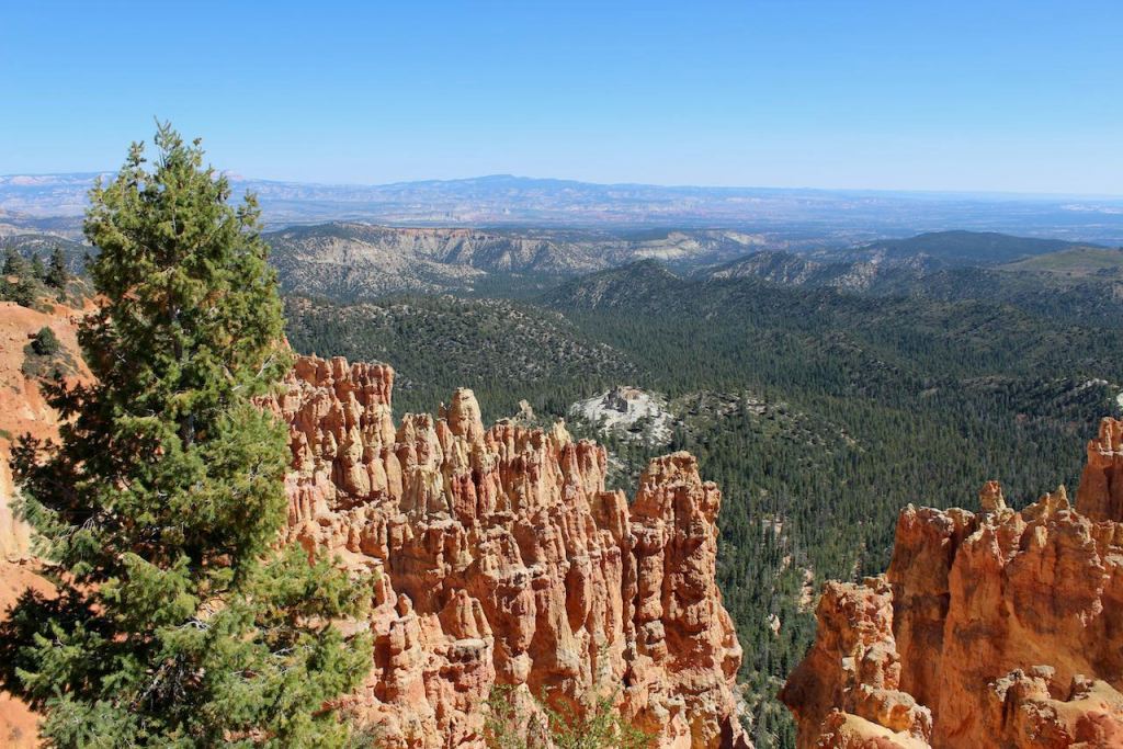
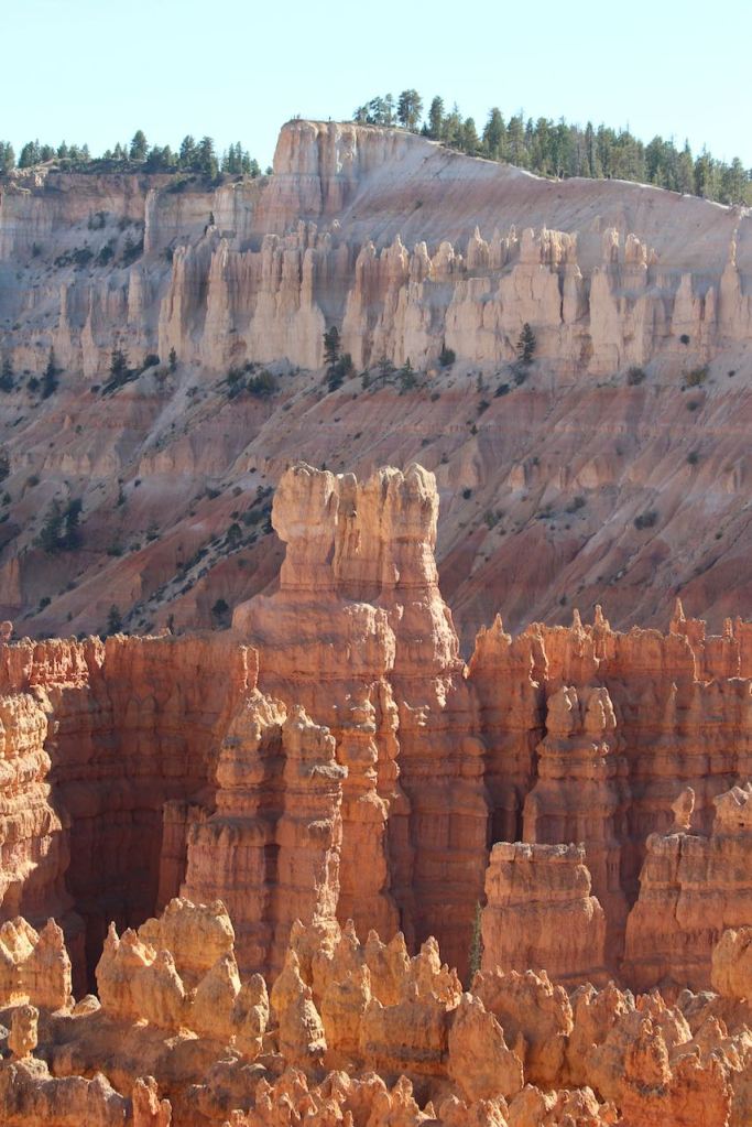
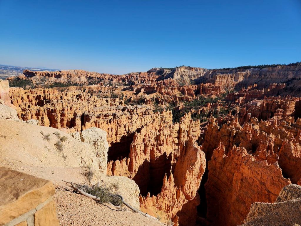
Our next stop was Bryce Point, where we were once again amazed by how awe inspiring this place is with crazily eroded hoodoos every direction that you look. This point is named for Ebeneezer Bryce, who settled in the valley below in 1870. He was a Mormon pioneer and he built roads into the canyon to facilitate lumbering and irrigation. All he is known to have said concerning this beautiful area is, “It’s a hell of a place to lose a cow.”

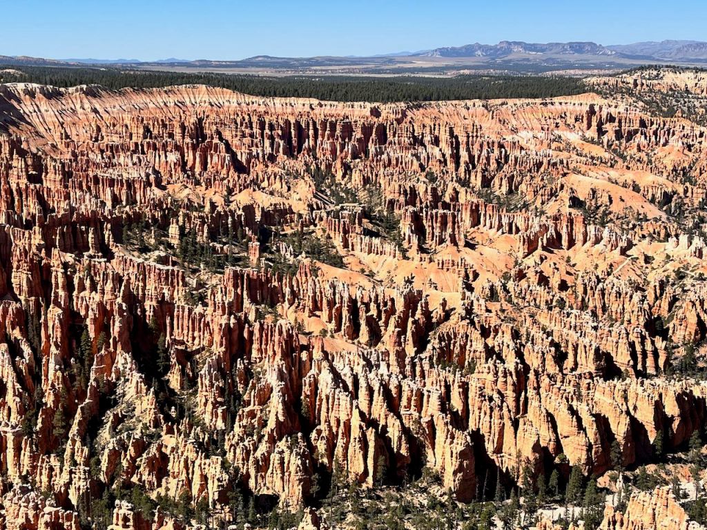
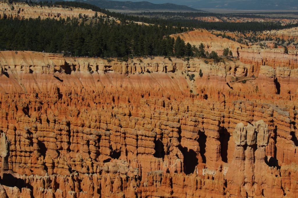
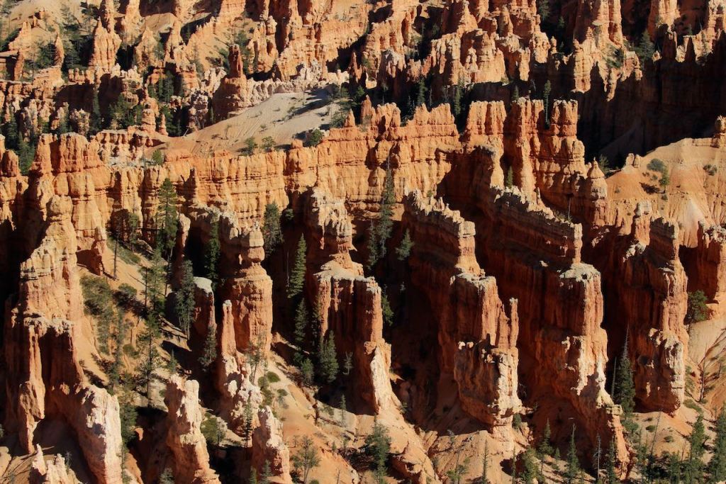
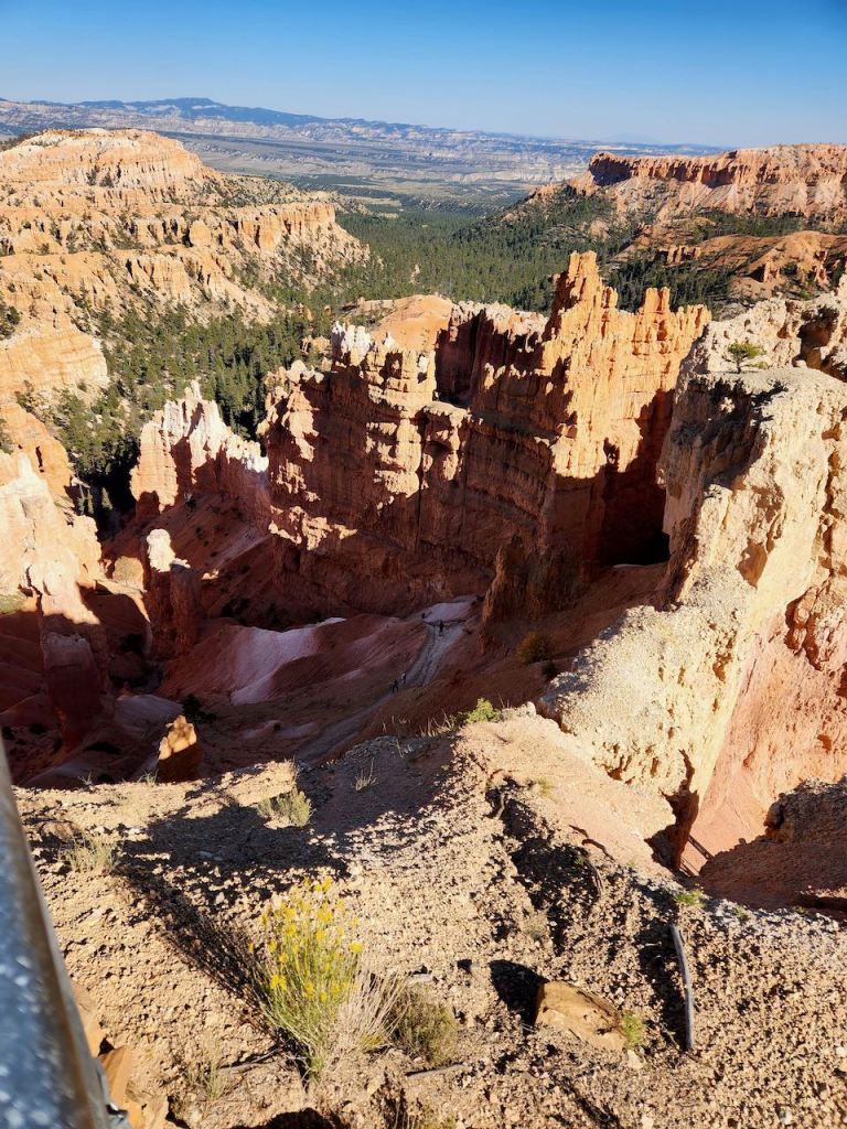
This is also the first place you get a full view into the Amphitheater – the biggest concentration of hoodoos in the world! Incredible!!
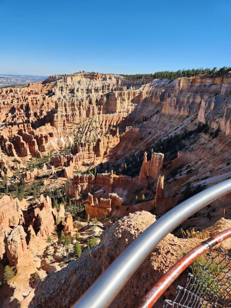

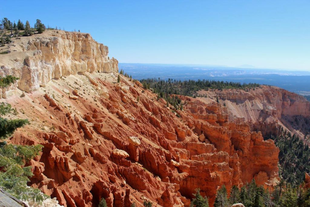
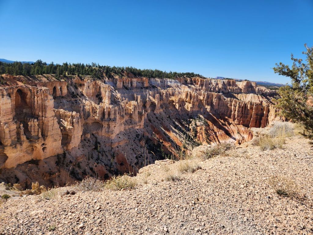
Then it was onto Inspiration Point – where you see the Amphitheater from a different angle. And you can see how the rows of hoodoos might be seen as people in an amphitheater. I told you the scientific explanation of the hoodoos. The explanation told by the Paiute Indians is, “Before there were humans, the Legend People, To-when-an-ung-wa, lived in that place. There were many of them. They were of many kinds – birds, animals, lizards and such things, but they looked like people. They were not people. They had power to make themselves look that way. For some reason the Legend People in that place were bad; they did something that was not good, perhaps a fight, perhaps some stole something….the tale is not clear at this point. Because they were bad, Coyote turned them all into rocks. You can see them in that place now all turned into rocks; some standing in rows, some sitting down, some holding onto others. You can see their faces, with paint on them just as they were before they became rocks. The name of that place is Angka-ku-wass-a-wits (red painted faces). This is the story the people tell.”

Jeff and I walked up to the two higher observation points – it was definitely uphill! We had to get to that point in the left photo. And I took this telephoto of Trish and Tina waving to us.


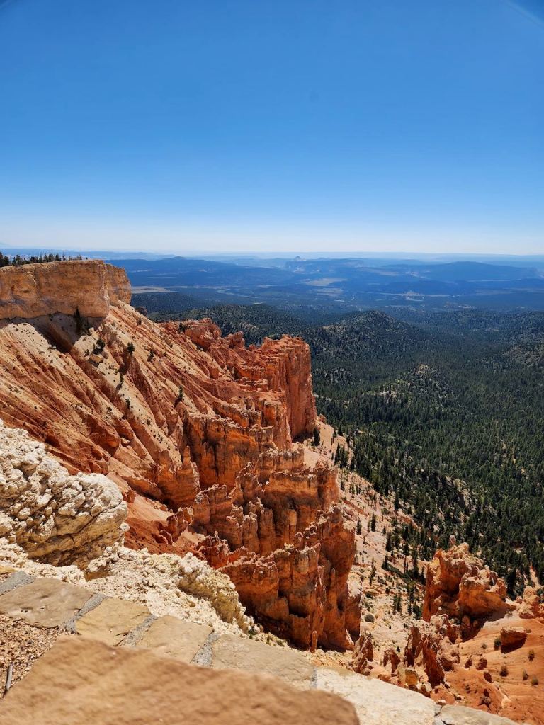
But the effort was worth it, as the views were breathtaking – although maybe part of not having much breath was the altitude – which was 8,100 feet before we went up the hill.

Notice how I’m holding on and have my legs braced on that tree — I wasn’t taking any chances as a couple steps backward and I’d have been down in the canyon.

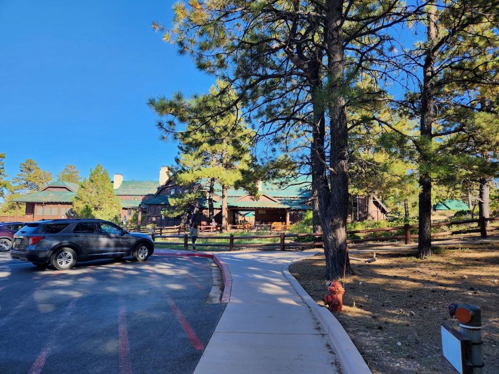

Our next to last stop in the park was the Bryce Canyon Lodge which was built in 1925. I was fascinated by the roof of the lodge, which looked like it was wavy, but when you got up close it was flat and it was how they arranged the shingles that led to the optical illusion.
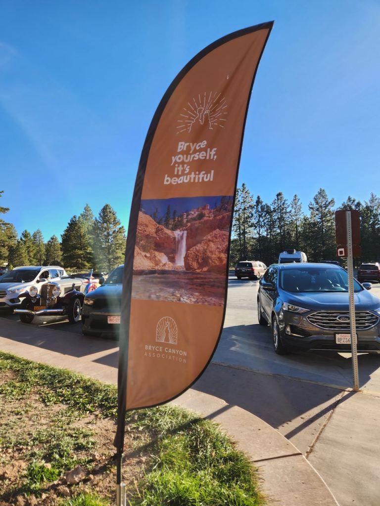
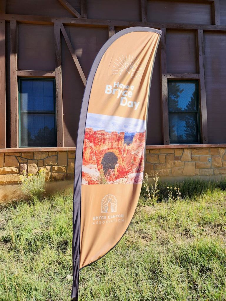
Our last stop in the park was back at the Visitors Center, where we bought some souvenirs and watched the park movie. And enjoyed these punny banners. Then it was back to Panguitch where we had plenty of good food at the Backroads Bistro before we went back to the RV.

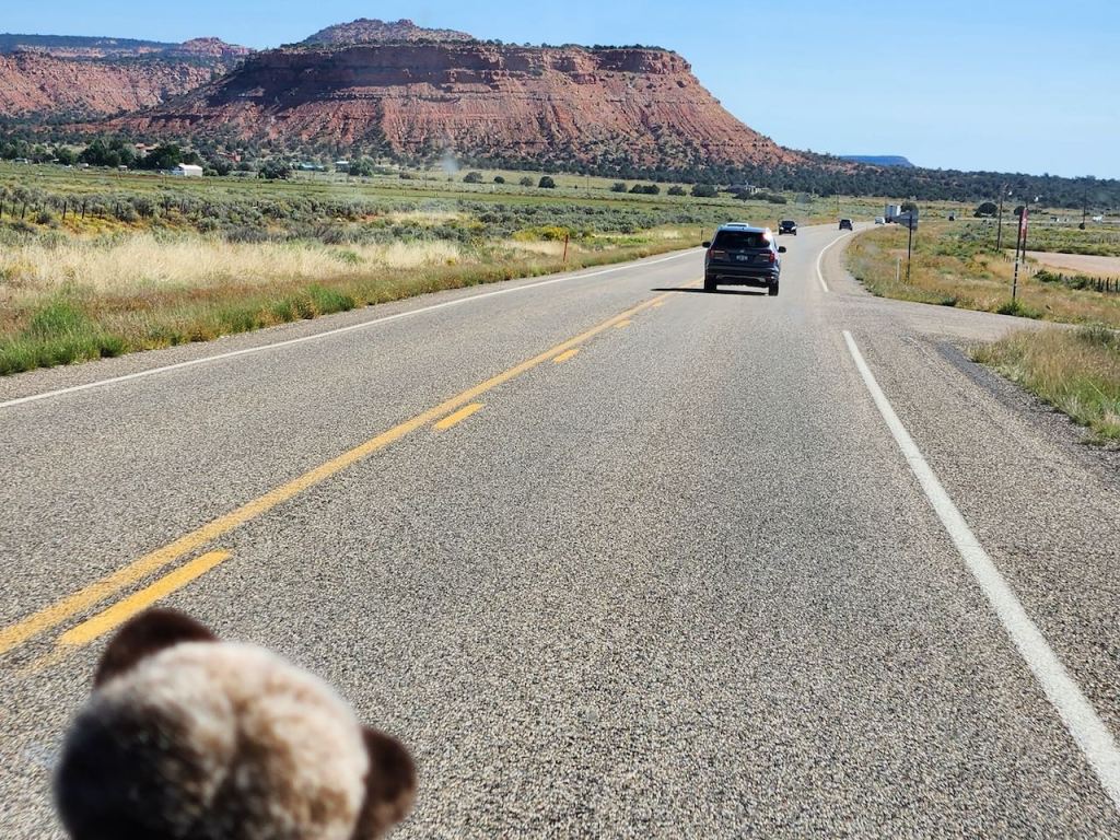
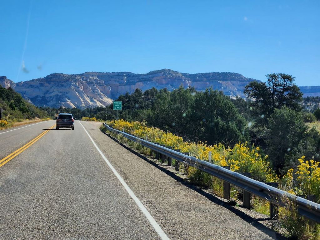
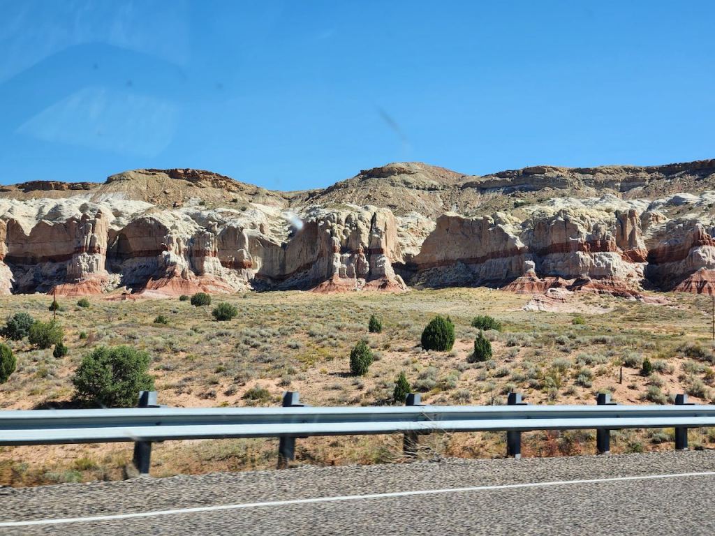
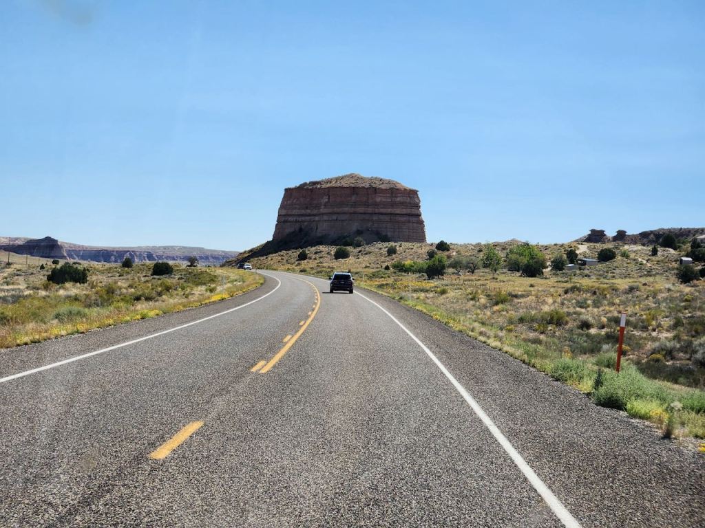
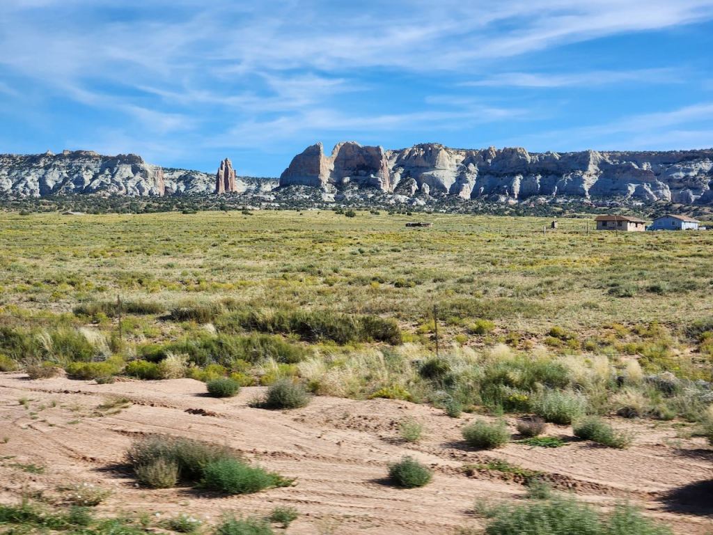
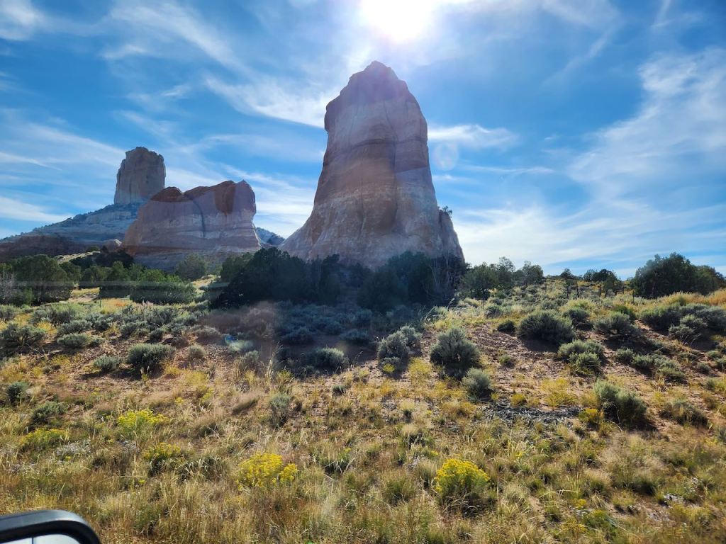
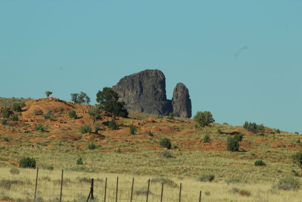
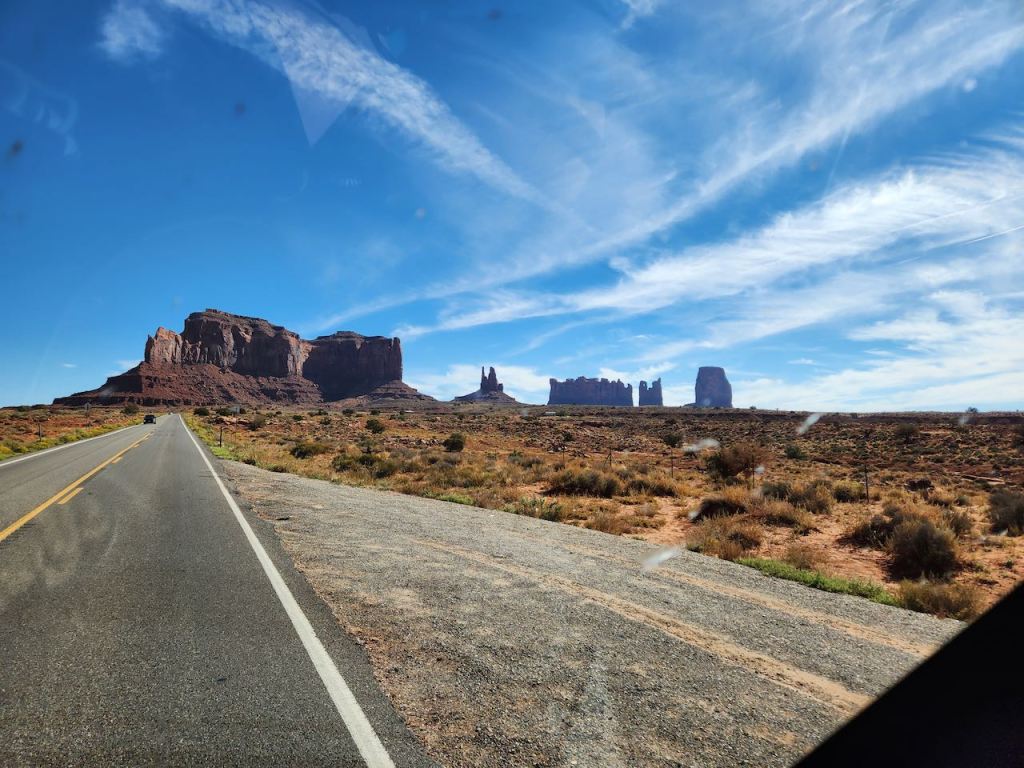
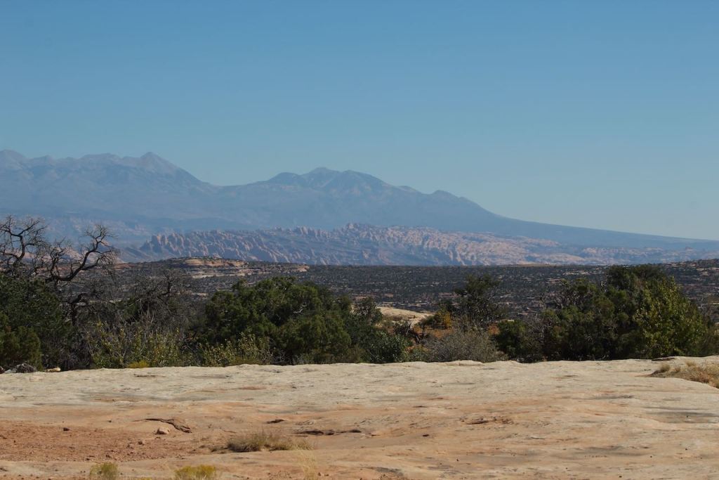
Views as we were driving from Panguitch, UT to Page, AZ on Wednesday, September 27. I wanted to drive through Monument Valley in southern UT and this was the best way to get there.

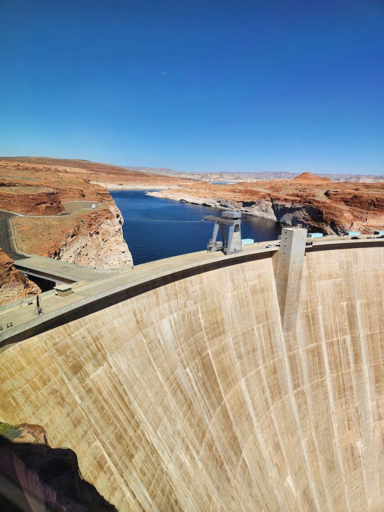
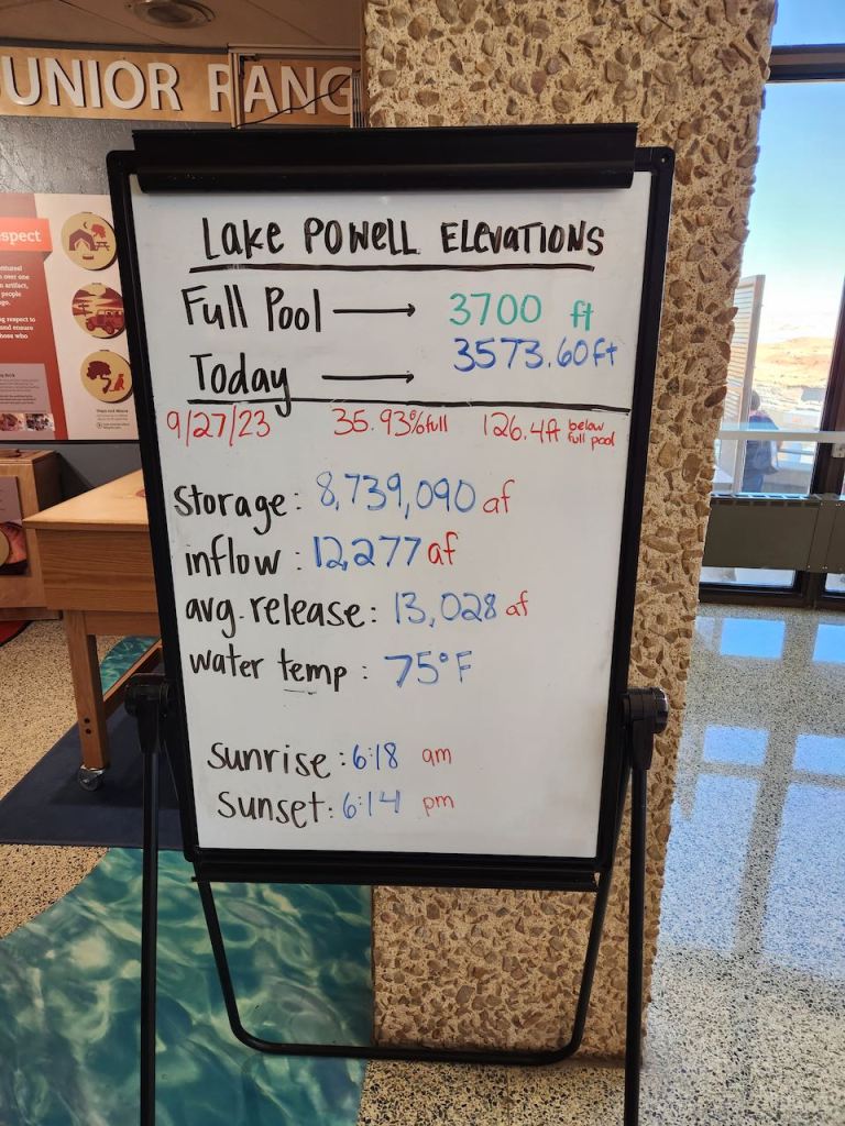
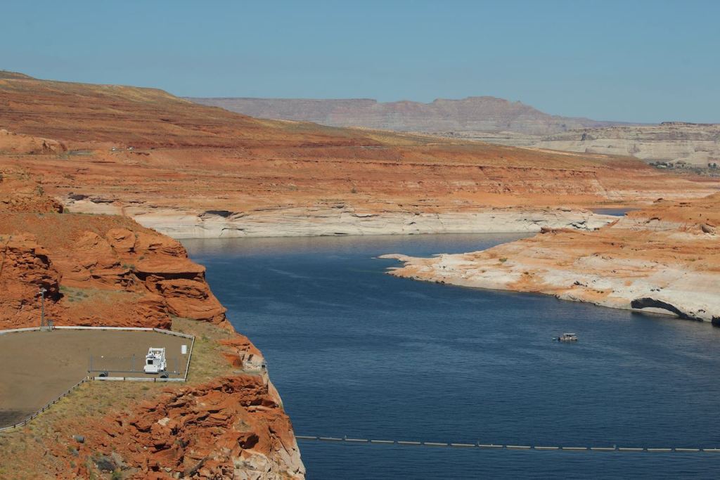


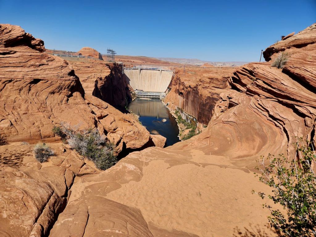
In Page, we stopped at the Glen Canyon Dam, which forms Lake Powell on the Colorado River. It also controls how much water reaches the southern Colorado River basin. When we were there, it was only 36% full, but that is recovered some from last year.
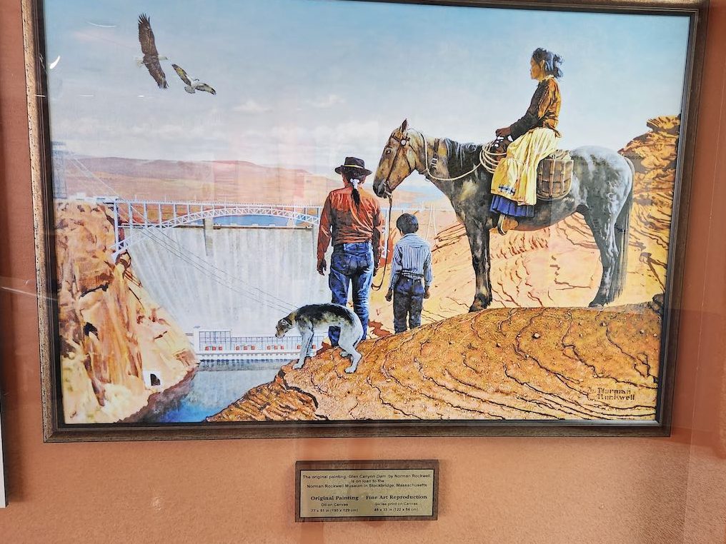

I never would have guessed that Norman Rockwell painted in the west. But in 1969, he was commissioned by the Bureau of Reclamation to paint the dam. He and his wife visited, and took lots of pictures. Since he was a “people painter” and not a landscape artist, he created the above painting back in his studio in Stockbridge, MA.
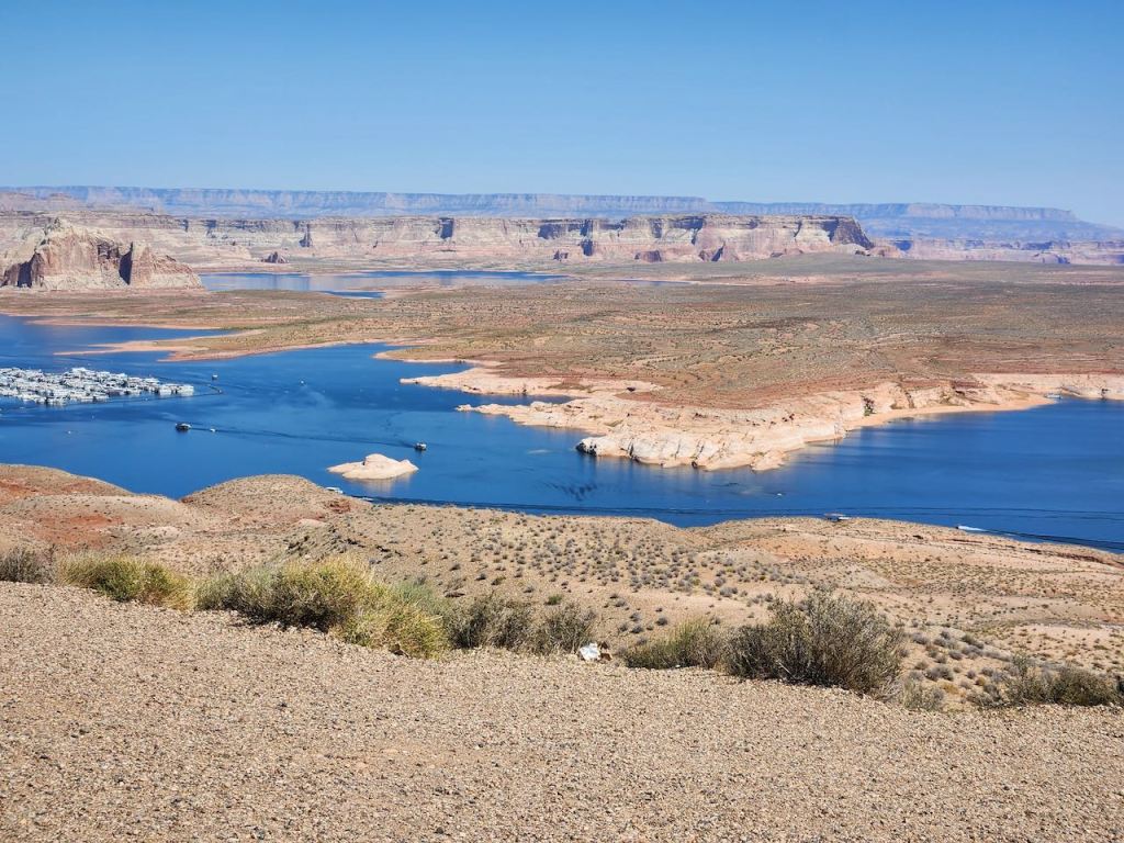
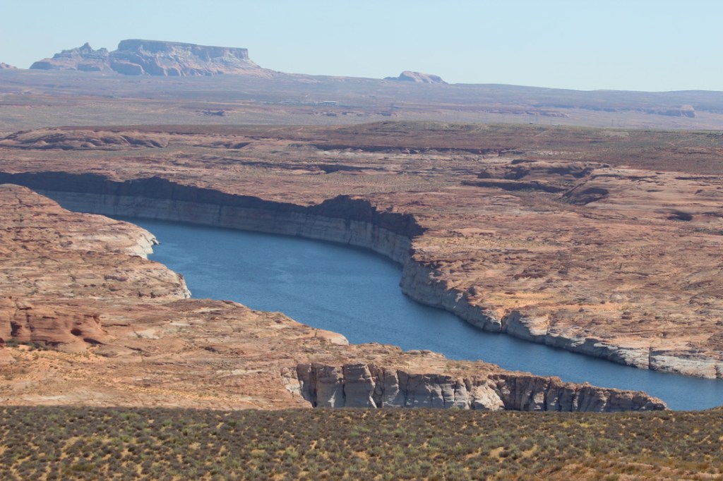
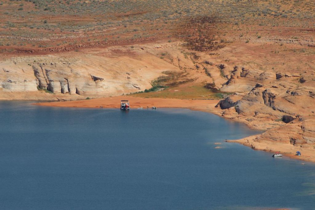
We then drove upstream to an overlook where we could see one of the marinas on the lake, and several boats out and about, even though it was the middle of the week.
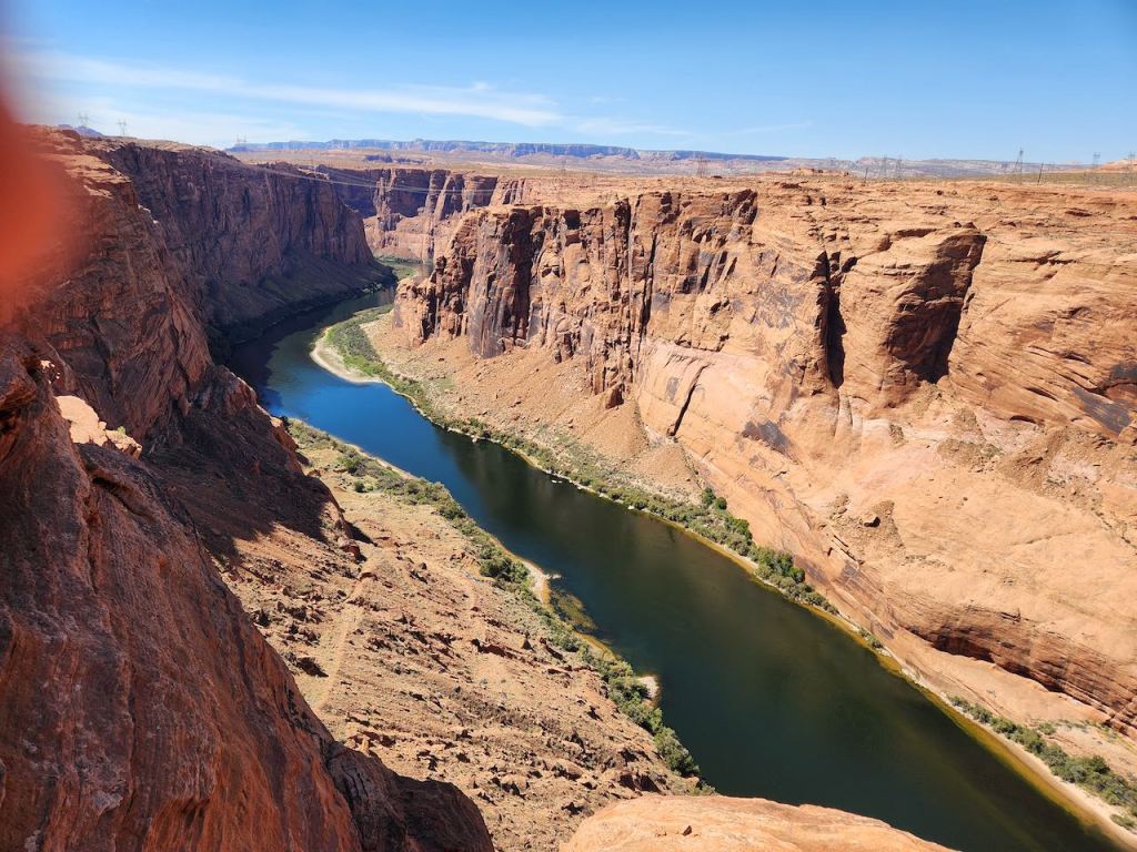

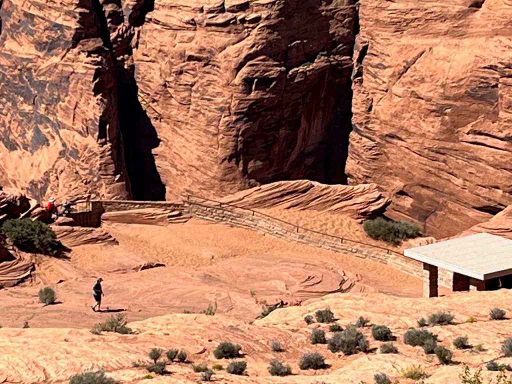
Then we went to an overlook downstream of the dam, where Jeff and I walked down to the observation point, while Tina and Trish watched us. The toughest part of that walk was the handrail had been out in the sun and it was very hot, and we needed it. Then it was back to the visitor center to see the movie about the building of the dam – which is a 710 foot concrete-arch dam.


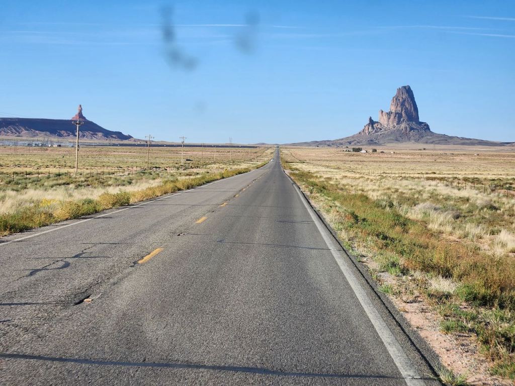

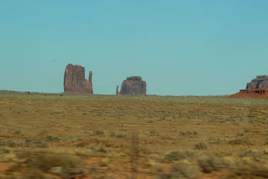
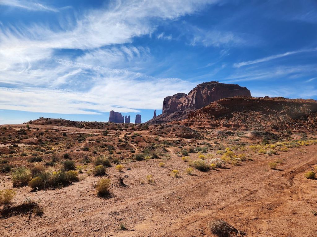
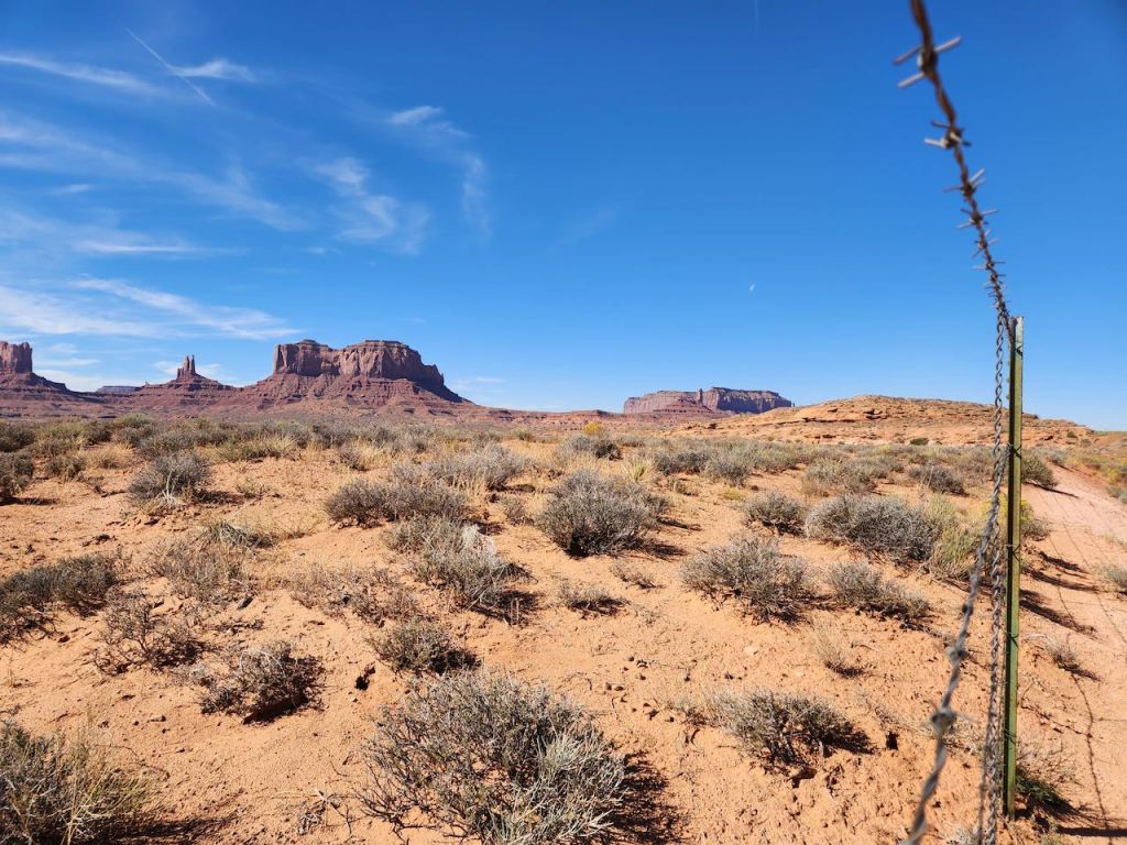
After getting a BBQ lunch in Page (which was founded to house the workers on the dam), and catching a photo as we drove by the library, we headed back to Utah and the Monument Valley. This area is also part of the Colorado Plateau, but it does not have the concentration of hoodoos, but these big varied buttes and mesas. Can you guess which ones are called the Mittens? Impressive in its own way.


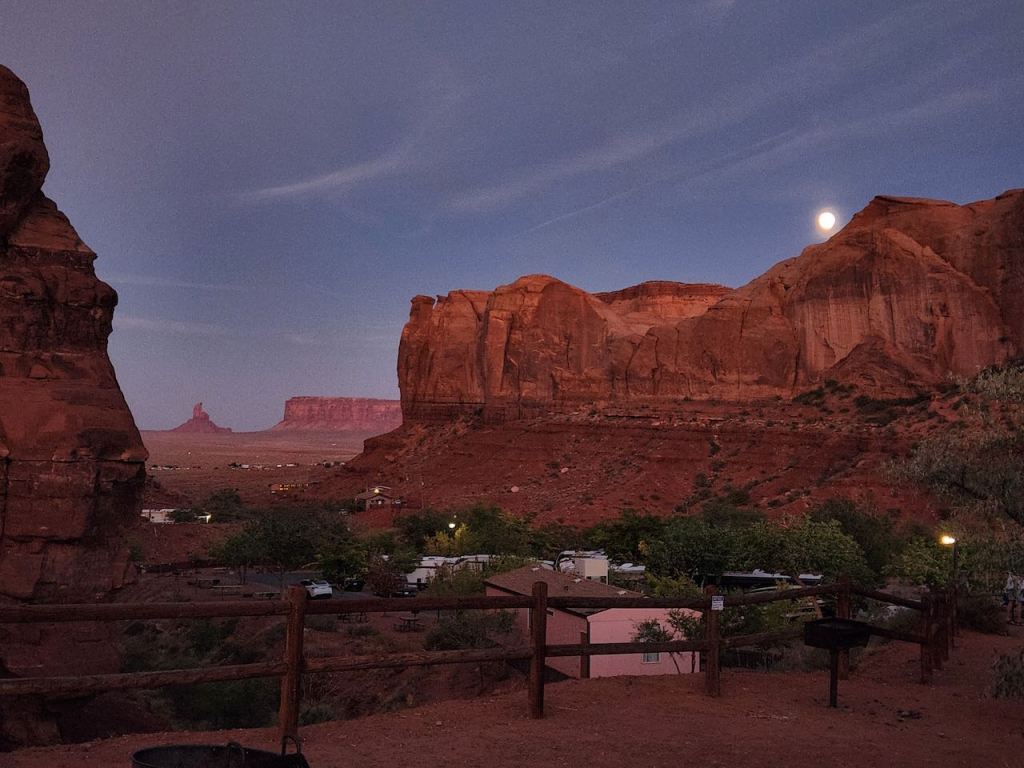
Tina and Jeff stayed in a hotel about half a mile from us – they said it was built right into the cliff. They joined us for a pasta dinner and we watched the sunset and the moon rise.
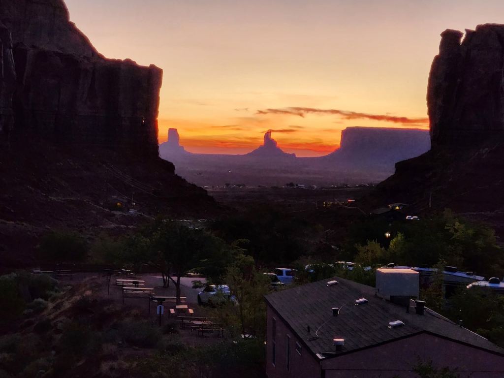
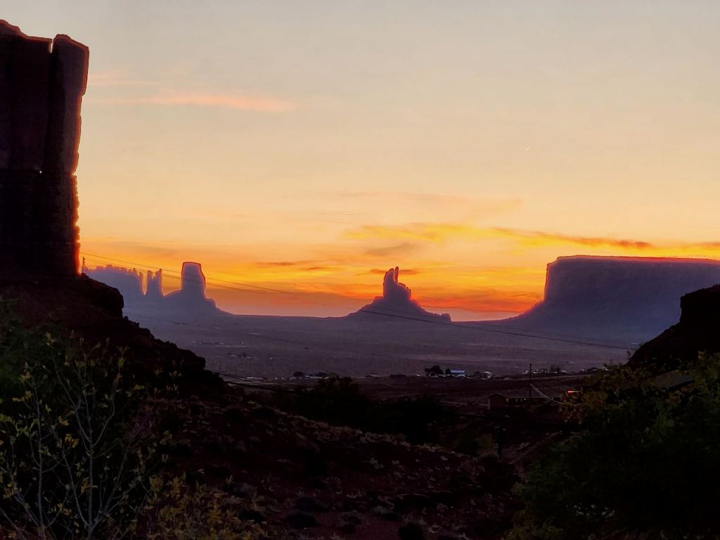
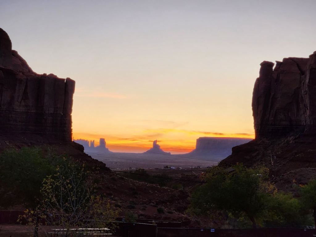
I got up early on Thursday and caught some sunrise photos – we had driven up into a little valley and the sun came up between the cliffs.


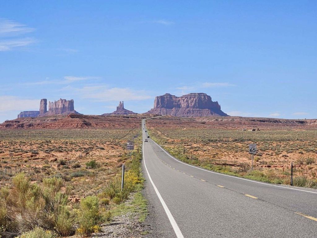
We didn’t take the time to drive onto the Navajo land and around the base of all these features, but it was obvious why the area is called Monument Valley. Here is a link of us driving the fairly straight road: https://www.dropbox.com/scl/fi/9vgdb0y75zkpnjec05htm/2023-09-28-10.48.16.mov?rlkey=xasw1w7fk2ie907fa3dun05jf&dl=0

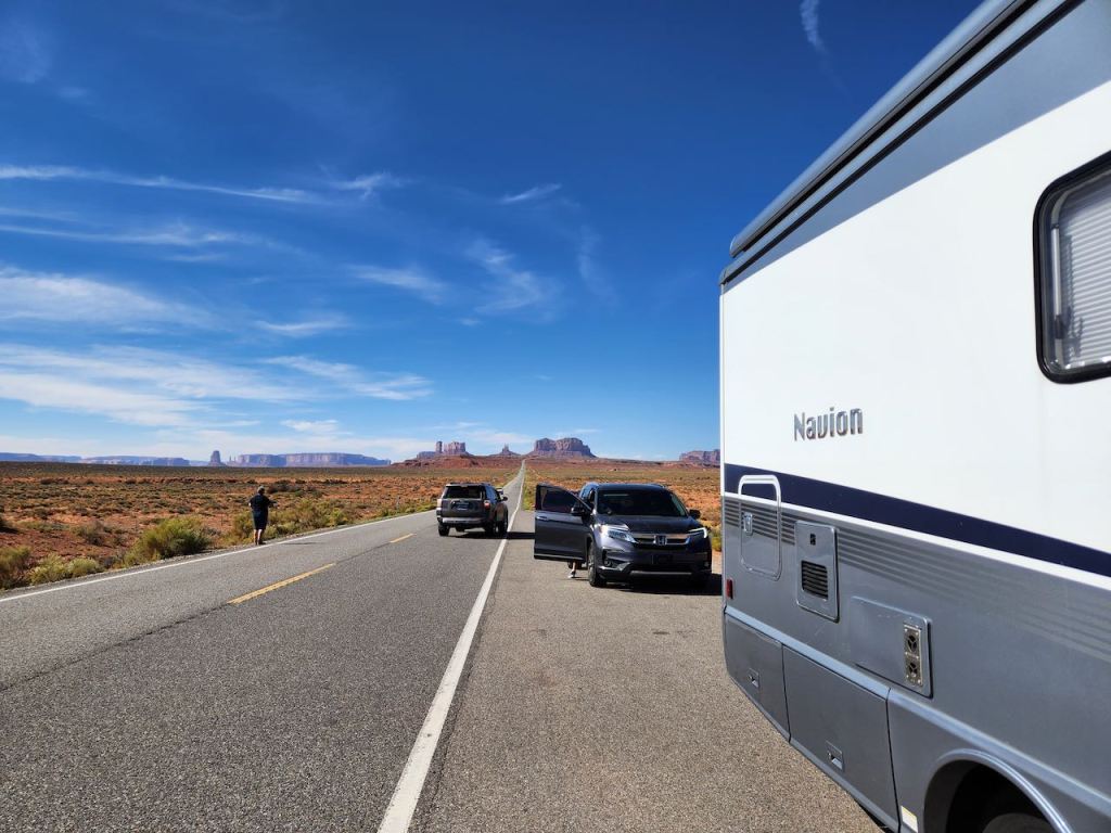
Do you recognize this view? If you are a real Forrest Gump fan you will know it is where he stopped running cross country. The site is on a slight rise on US 163N at mile marker 13. We couldn’t get our RV into the parking area, so Jeff took these photos for us — but not from the middle of the highway as the real tourons were doing.

Here are a few pics of our RV in the area.

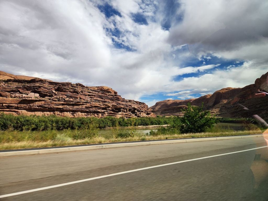
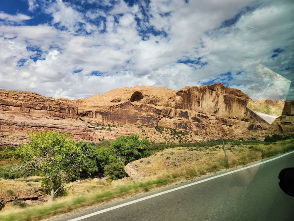
Then it was back to driving to Moab and watching this great scenery go by.
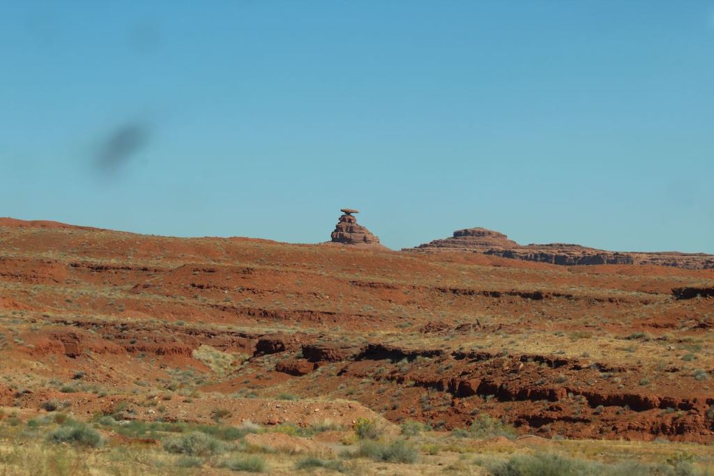
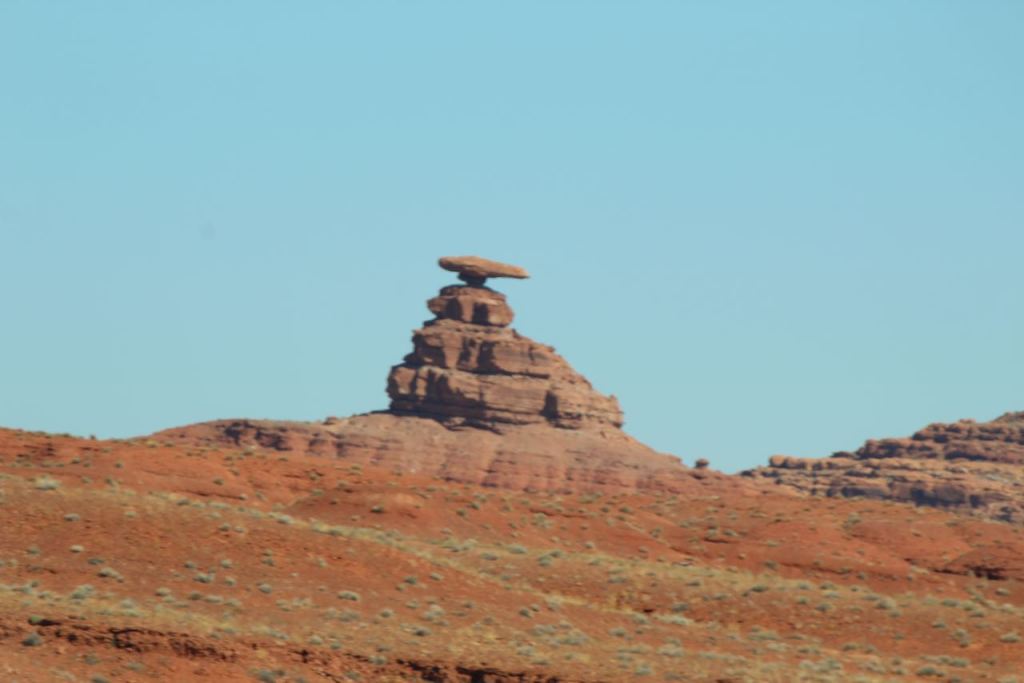
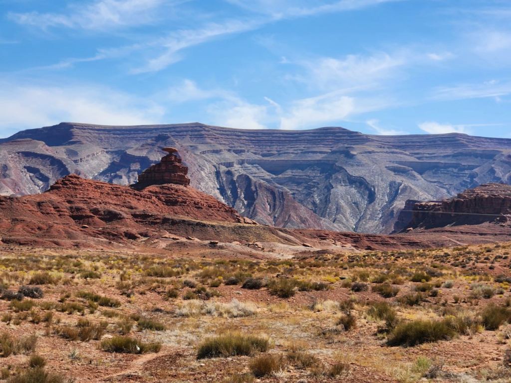
This formation is called Mexican Hat Rock, and the nearby town on the San Juan River is also called Mexican Hat. This is just outside Monument Valley.
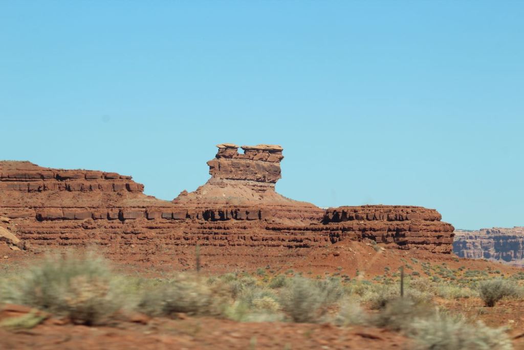


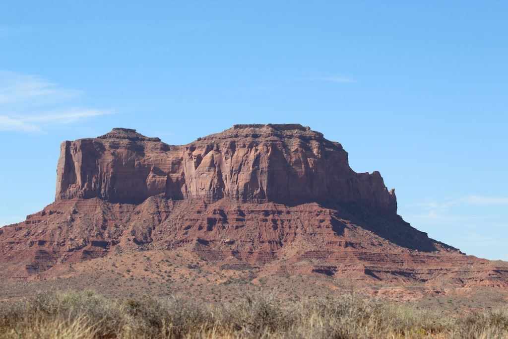
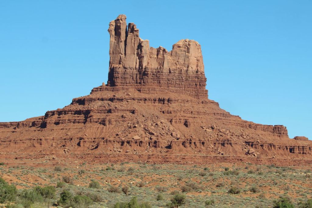
Here are some more bluffs; a formation I don’t know the name of but that I would call Jabba the Hut; and Twin Rocks, aka the Navajo Twins, which are just outside Bluff, UT.
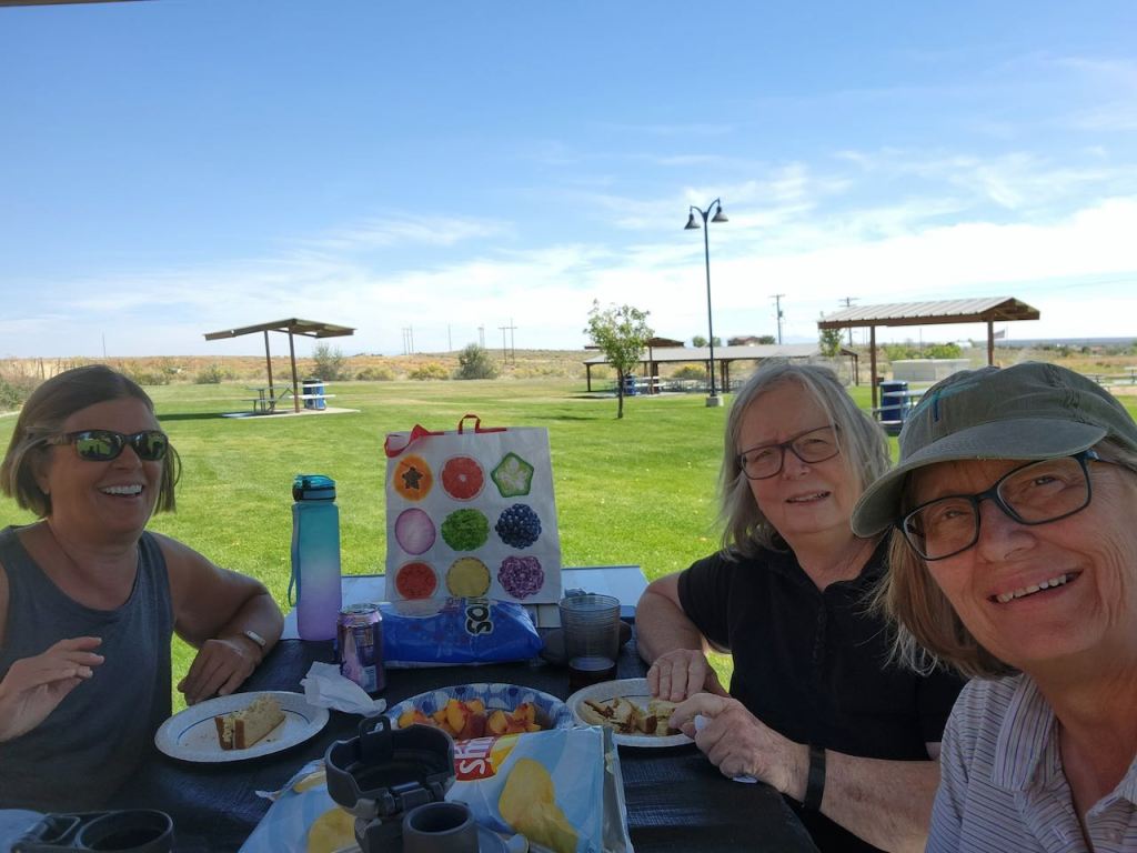
We stopped for a picnic lunch at this park in Blanding, UT. It’s hard to see the screen in the bright sunlight, but I couldn’t believe I totally missed Jeff in this selfie.
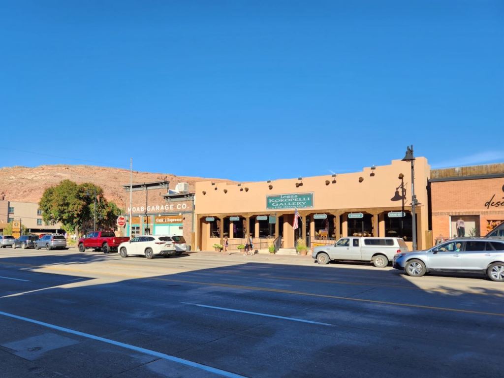

In the Moab RV park, Tina and Jeff rented an on-site RV just across the lane from our site. Once we all settled in we went into town and walked around. We went to the visitor center and picked up some additional info on Canyonlands and Arches National Parks. I had snagged a timed entry at Arches for 2 pm on Friday, and we were hoping to get in our Utah golf that morning. But the only course in town was having a tournament and the only tee time we could get was at 3 pm on Saturday. That meant it was going to be Canyonlands and Arches in one long day on Friday. Thank goodness for Dave and the Guide Along App, that dinged for all the “Don’t Miss” sites.
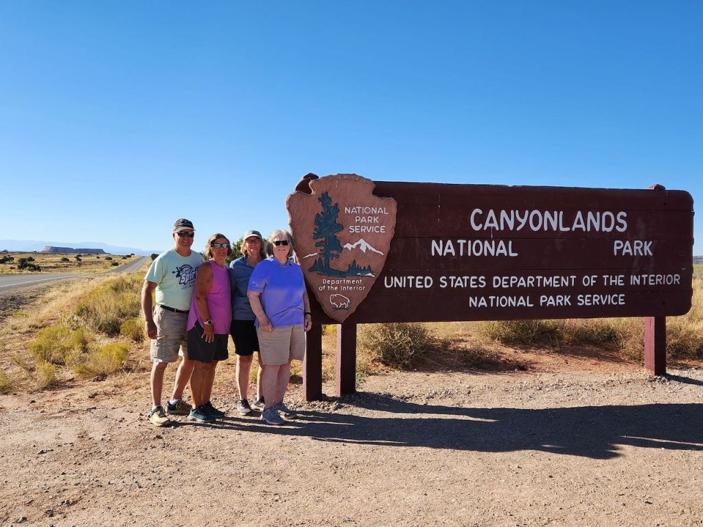
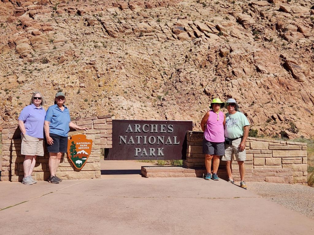
Another National Park sign. Canyonlands is 337k acres and is the largest of Utah’s National Parks. We explored just the most easily accessible area – the one that has paved roads to the best sites.

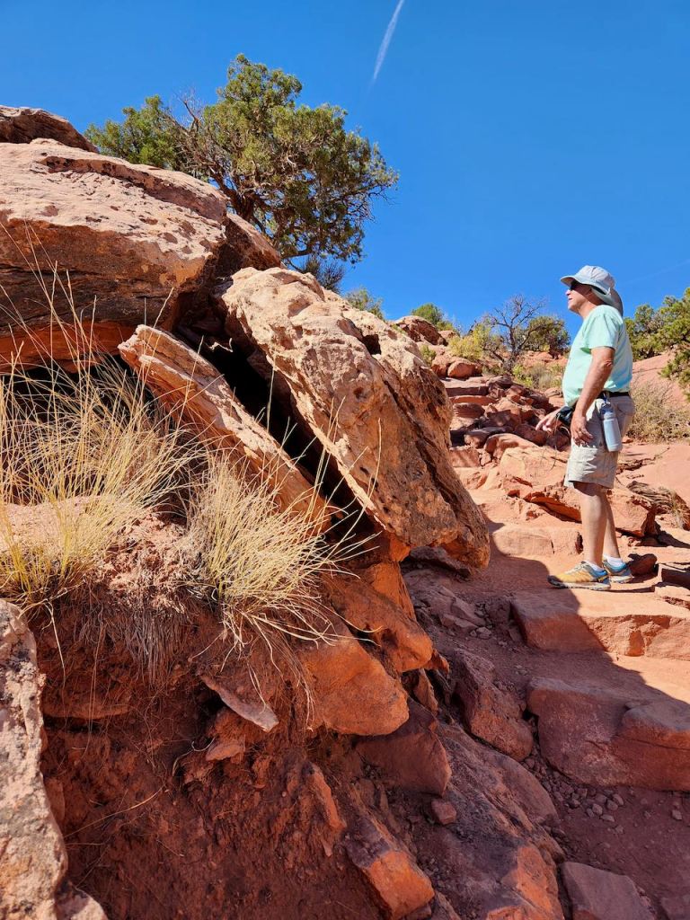
Our first stop after the visitor center at Canyonlands was at Mesa Arch – it’s a 0.6 mile fairly easy walk to get to the arch, mostly over rocks – with warnings about getting off the trail and destroying the biological crust that is a part of the ecosystem.
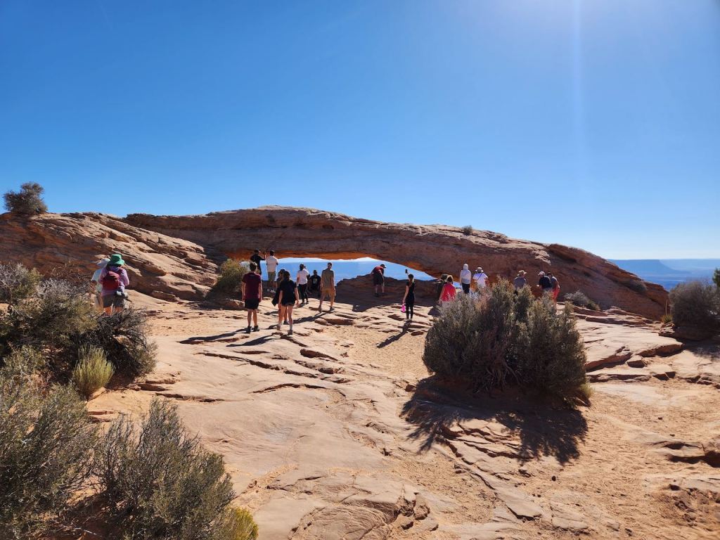
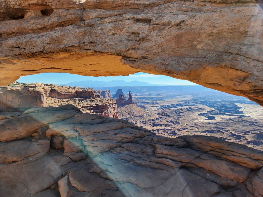
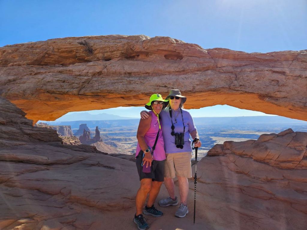


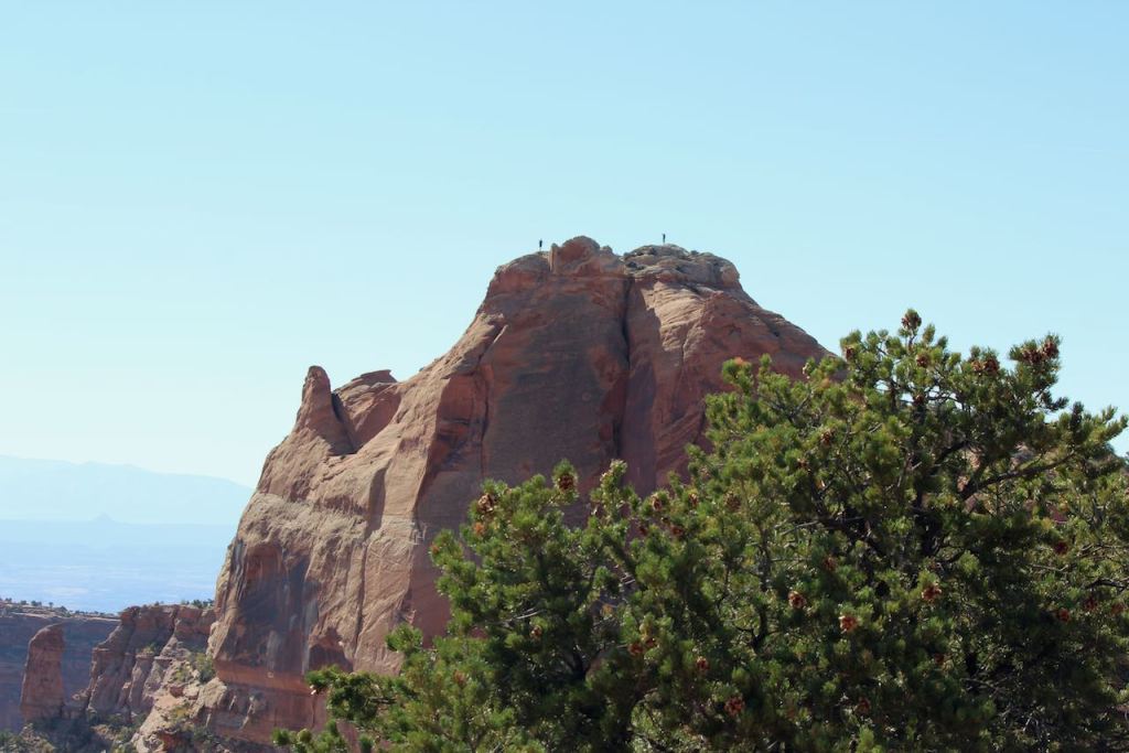
Various views of the arch, and a rock cropping near by. No those are not trees on the top, they are people.
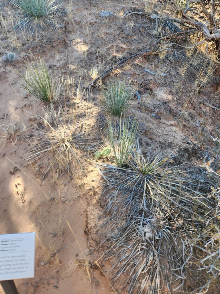
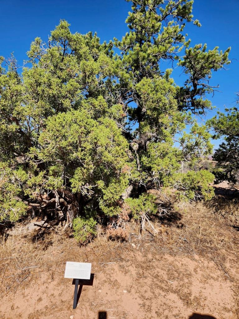
It was a nature trail on the way back to the parking lot – that’s a two-needle yucca and a Utah juniper.


We made a quick stop at the Buck Canyon Overlook.
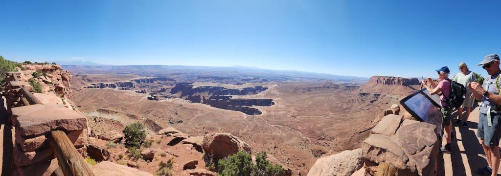
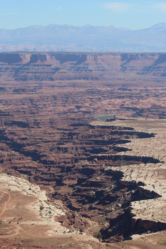
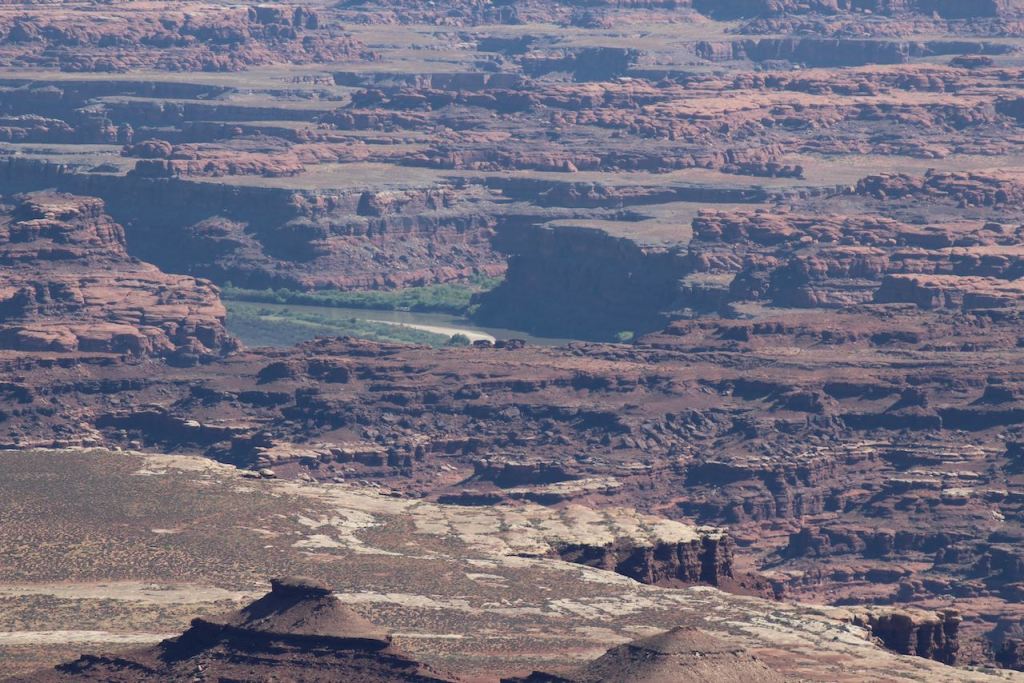
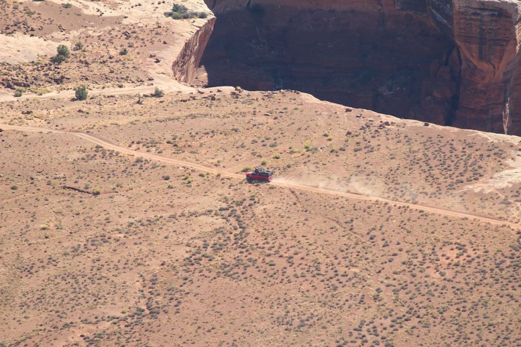

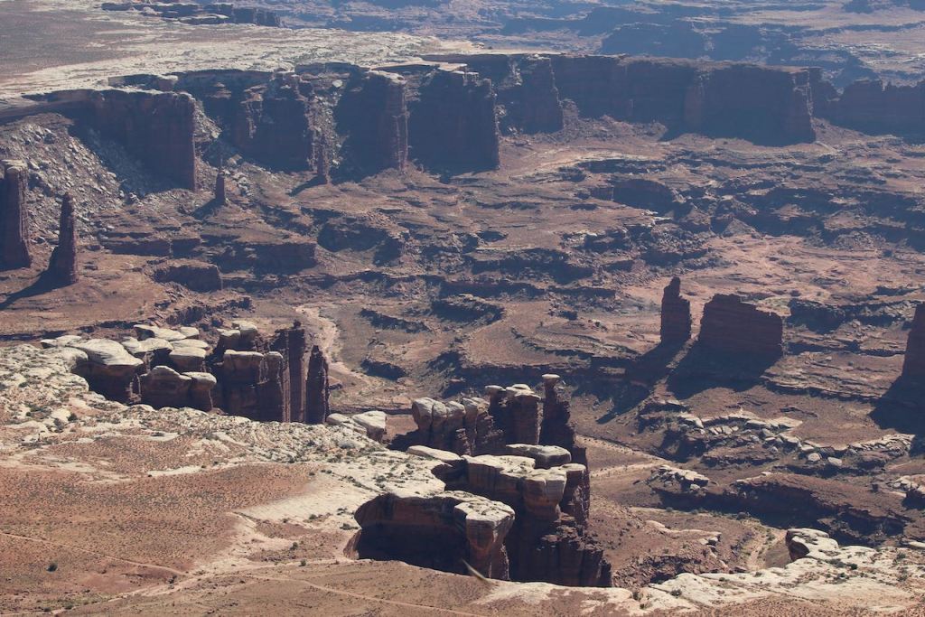
Then it was on to the Grand View Overlook. The water you can see in a couple of these photos is the Colorado River. And that is a closeup of a truck that was driving down next to the canyon. You need 4-wheel drive and off-road permits to be down there. Even if we had the time, we would not have gone.

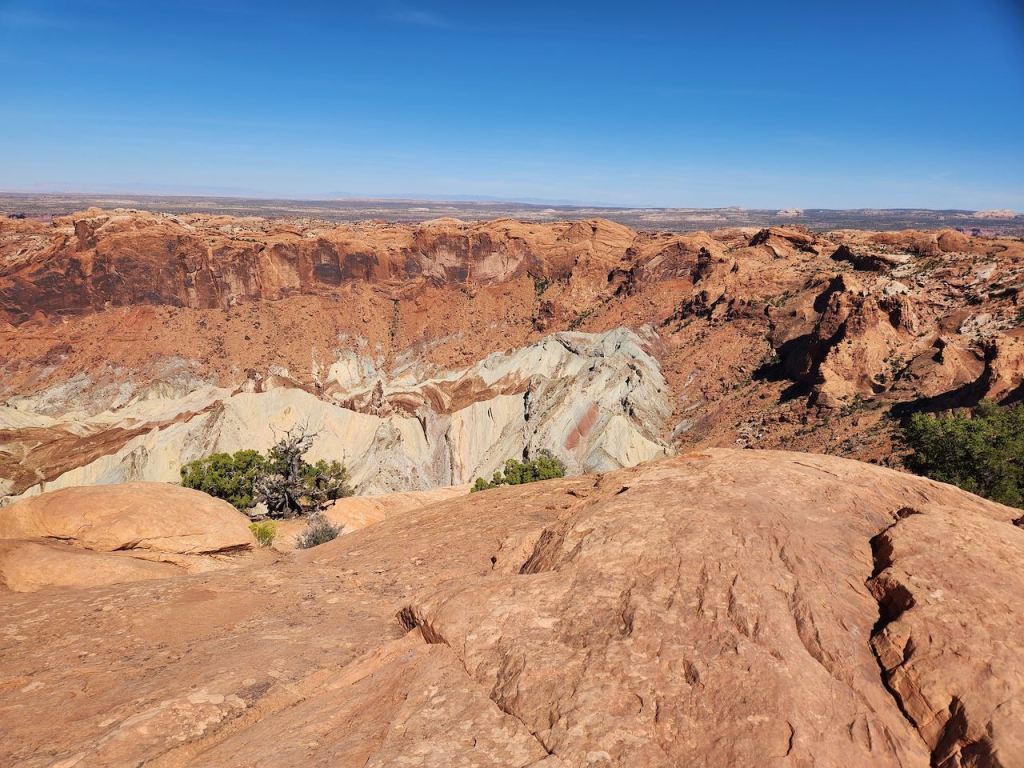
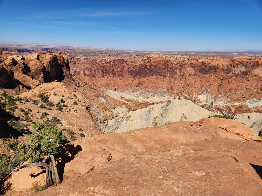
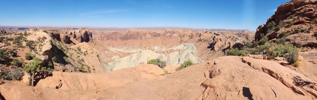
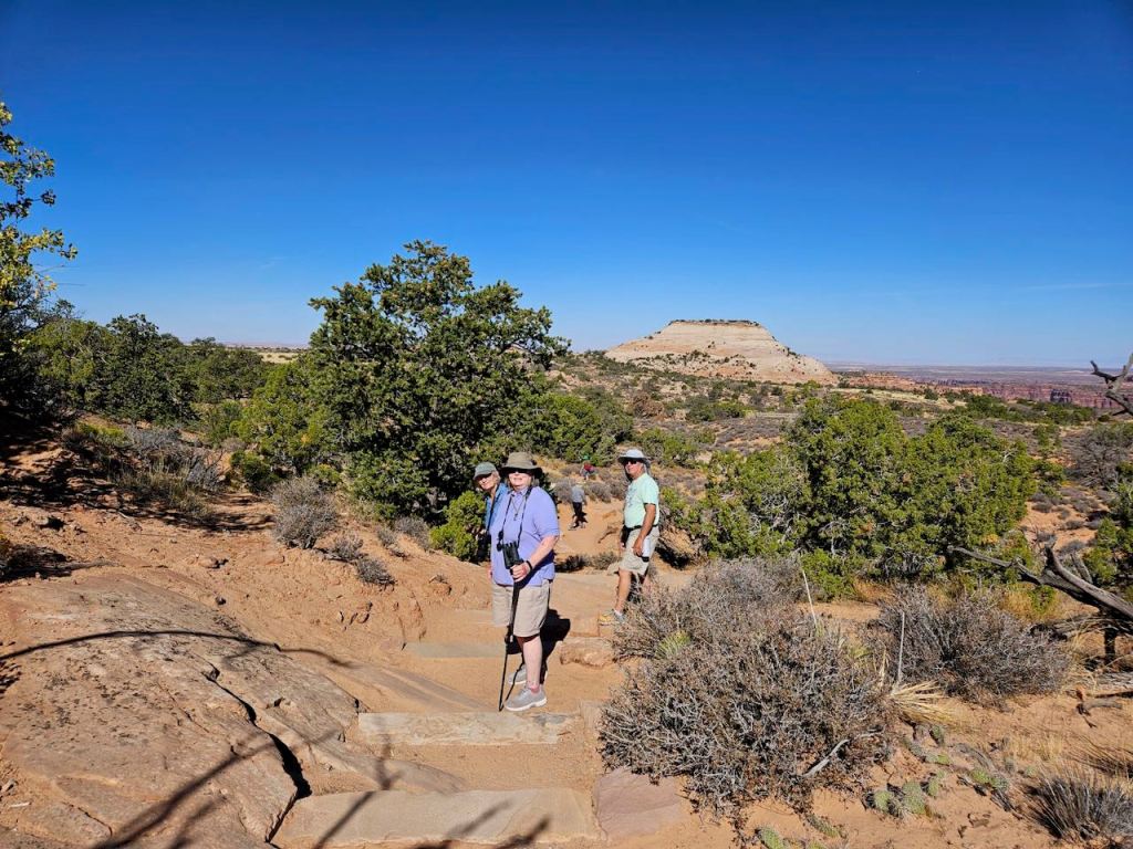
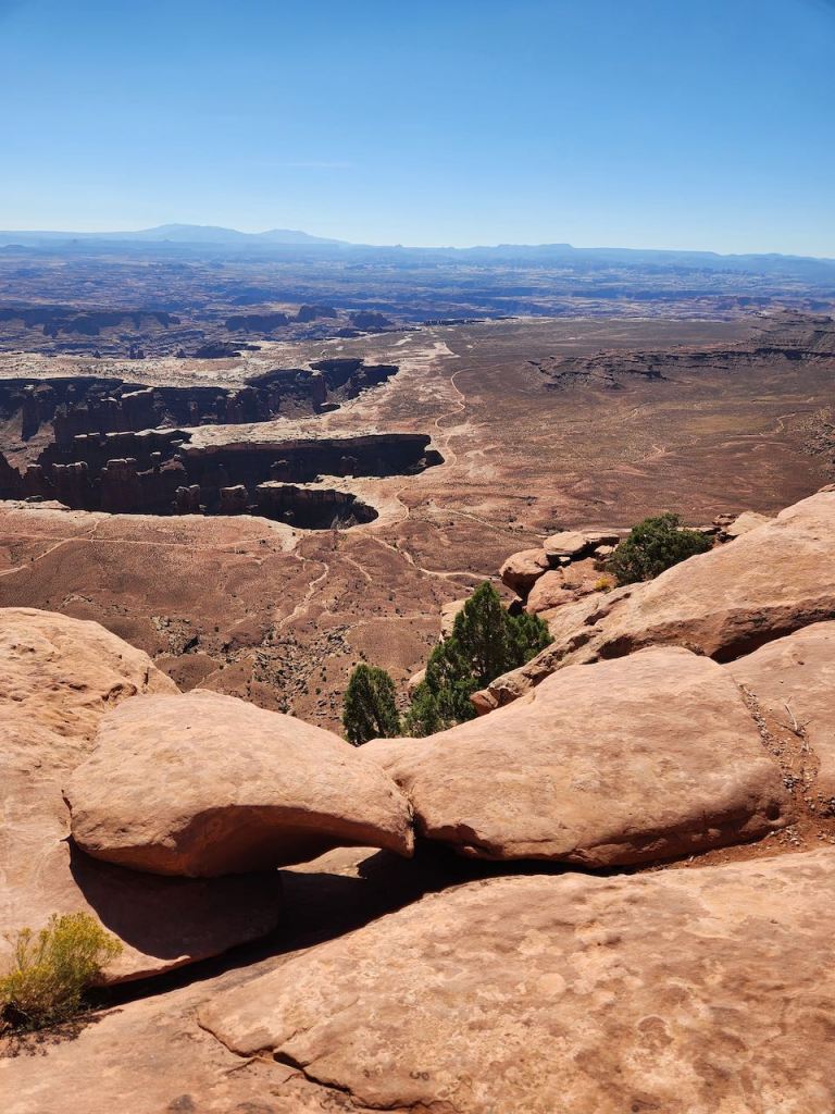
Next stop – Upheaval Dome. Tina, Jeff and I did the hike to the First Overlook – that was up 120 ft in 0.6 miles, so at many times it seemed like you were walking up a flight of stairs. The white dome in the pictures is made of salt, and it’s not clear how it was formed. Was it pushed up from a very thick layer of salt from when the oceans covered this area, or was it a meteorite? Research is still ongoing, but as of when the sign was printed the meteorite theory was more favored.
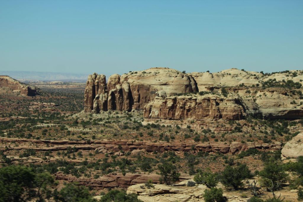
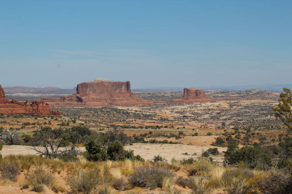
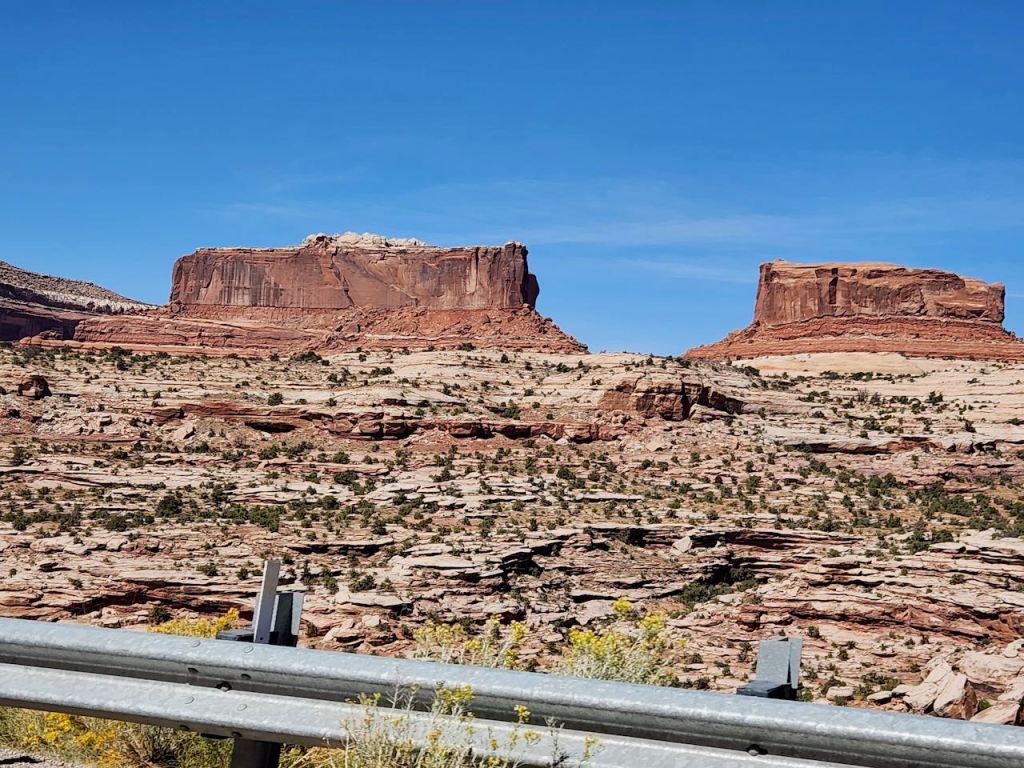
More views driving through the park. Those are the La Sal Mountains and two buttes just outside the park named the Monitor and the Merrimac. The Merrimac is the larger one. Who remembers their Civil War history and can tell us who won?

Then it was over to our timed entry at Arches. It didn’t take long to get through the line, and after stopping at the Visitor Center to get our magnet, we ate our lunch at one of the nearby picnic tables. And I sure agree with the quote just outside the center.

This was the view from our picnic table – if you look very closely in the right hand picture you can see a car and a yellow street sign. It was a big switchback to get up there. You don’t need 4-wheel drive but good nerves because there are no guardrails and you drive along the edge plenty of times.
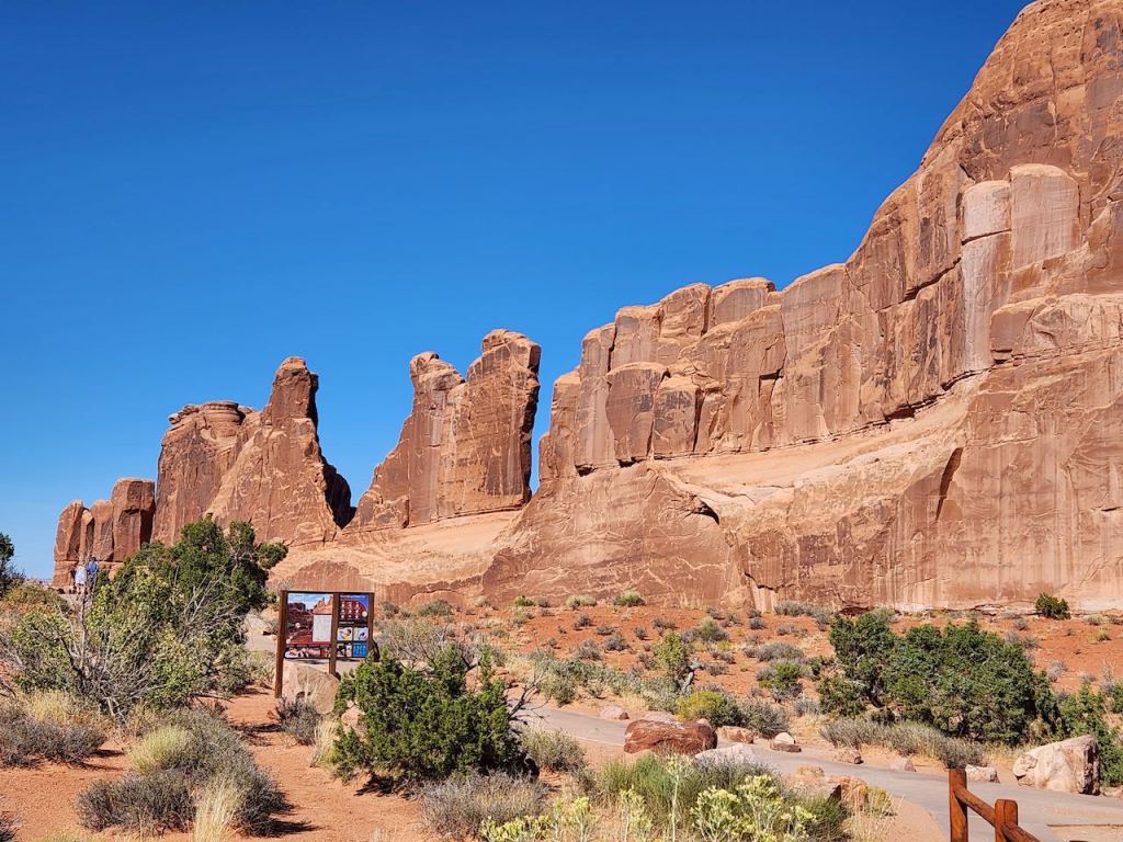
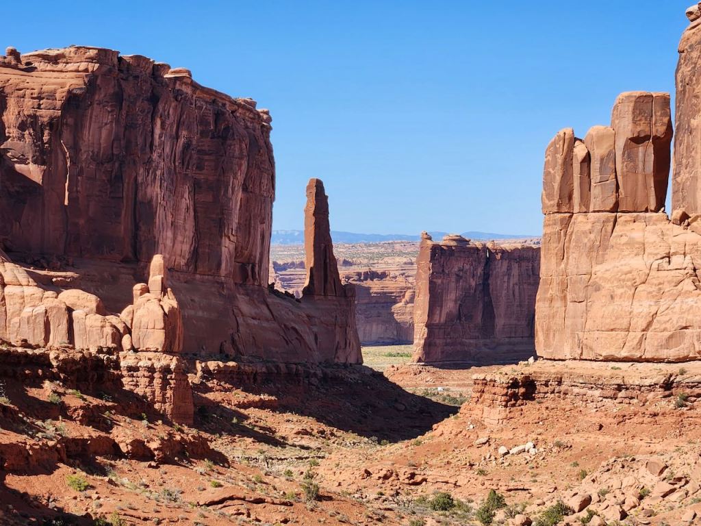
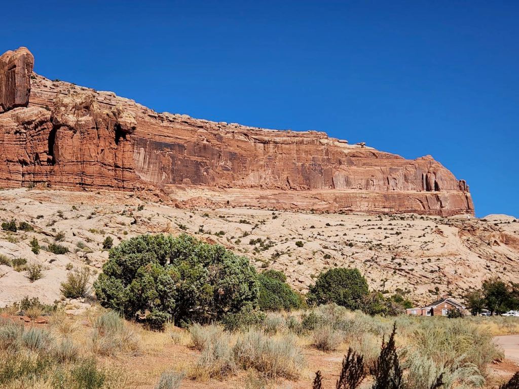
This is Park Avenue – early exploresr were reminded of the New York City skyline.
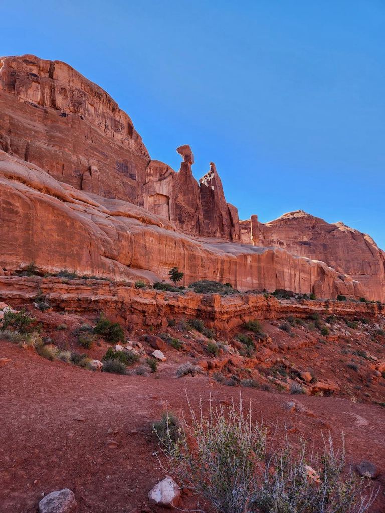

More rock features. Guess which one is the Three Gossips?

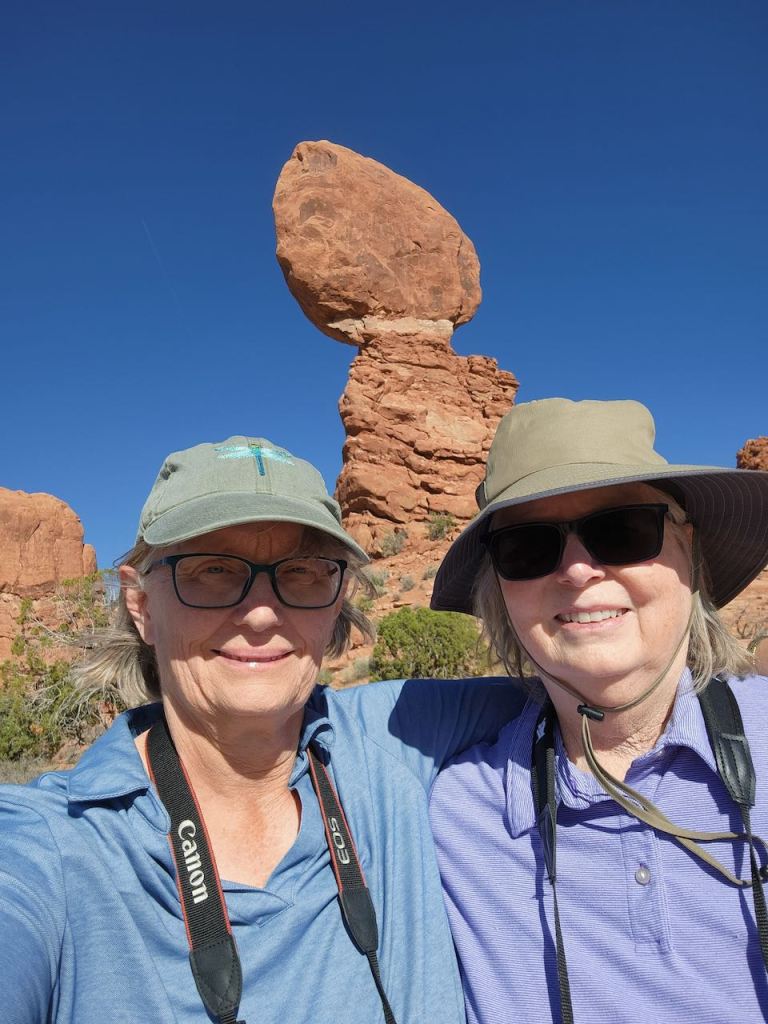
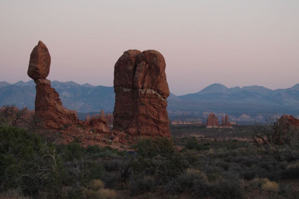
Then we walked the 0.3 mile loop around Balanced Rock. The whole feature is 128 feet high and the top rock is 3 bus lengths high and weighs 3,600 tons. Dave from Guide Along told a story about an older gentleman who asked a park ranger if that whitish band was concrete. He was assured that it was not. Later another tourist came by to say someone was stranded on Balanced Rock. So the park ranger went to the rescue. The only thing the older gentleman had to say after his rescue was “You’re right. It’s not concrete.”


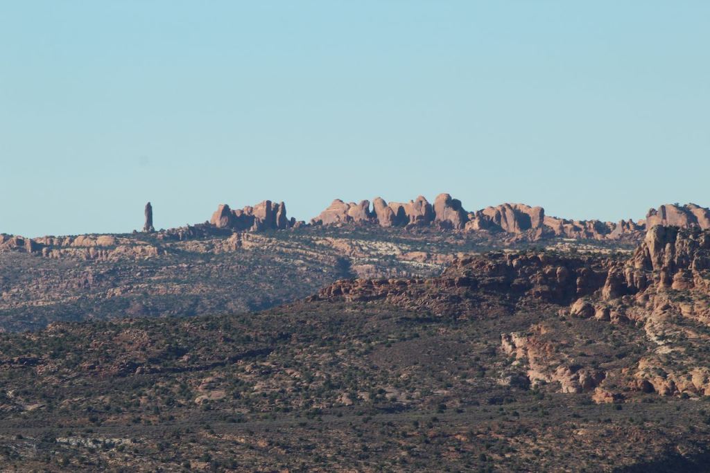
More views while driving to the Window Section of the park.

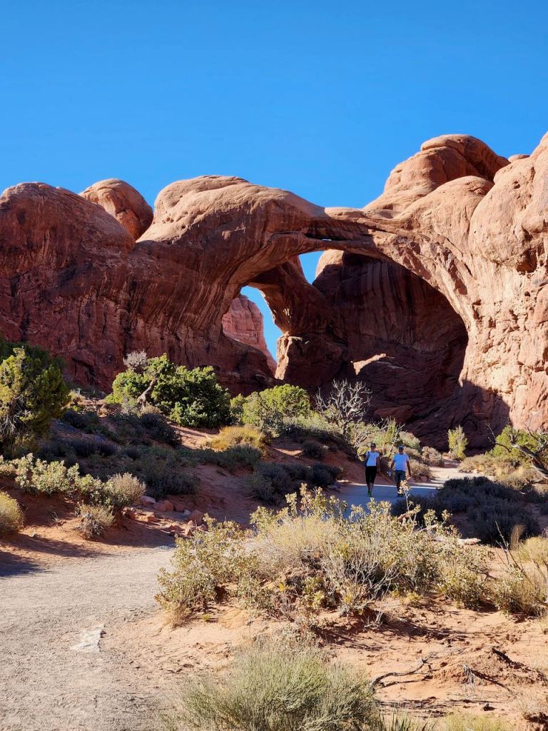
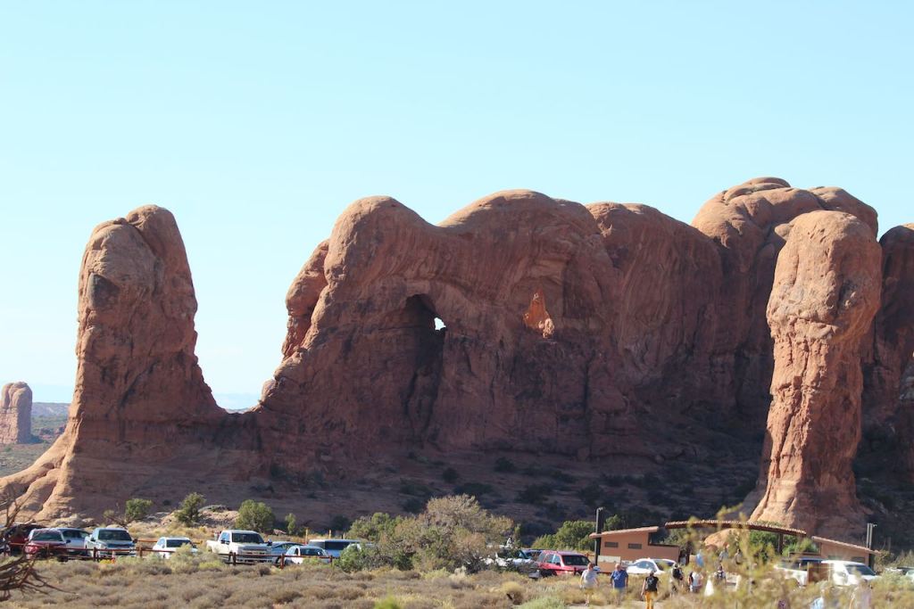
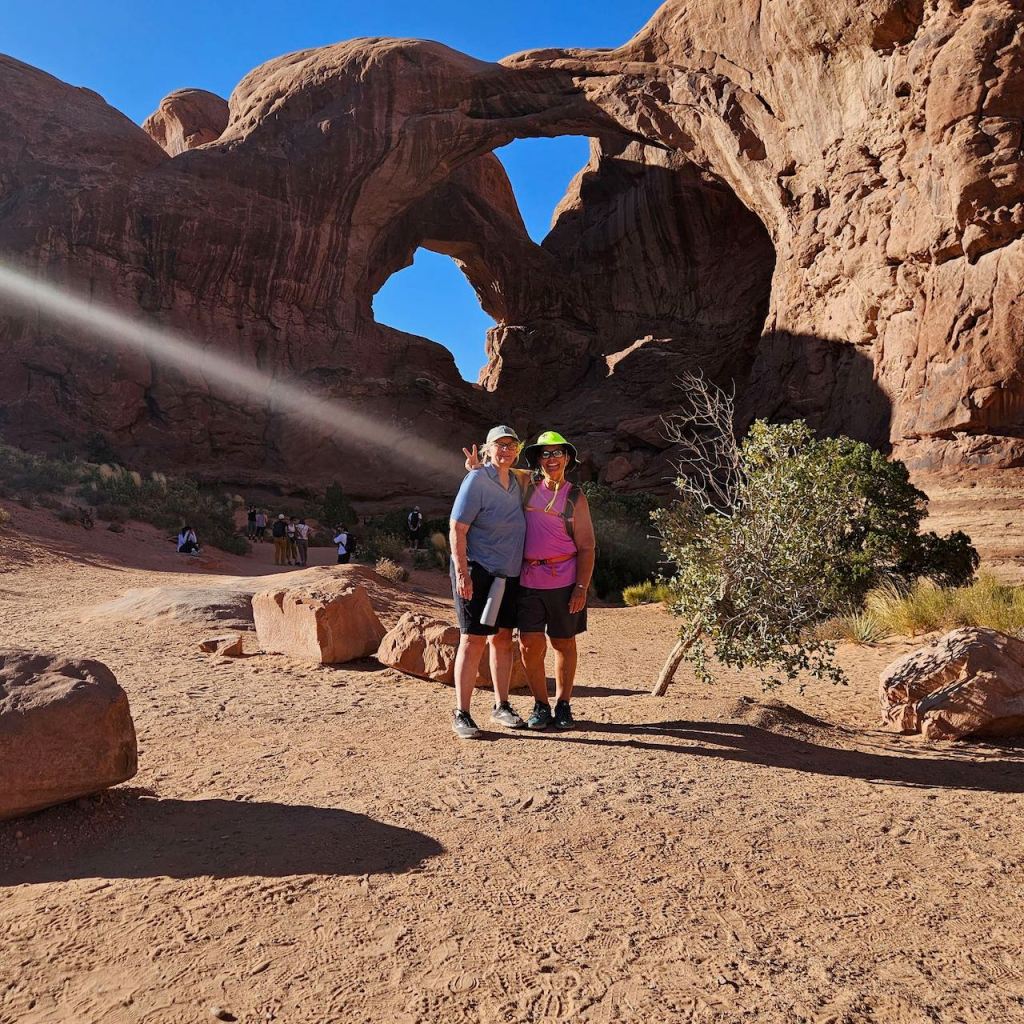
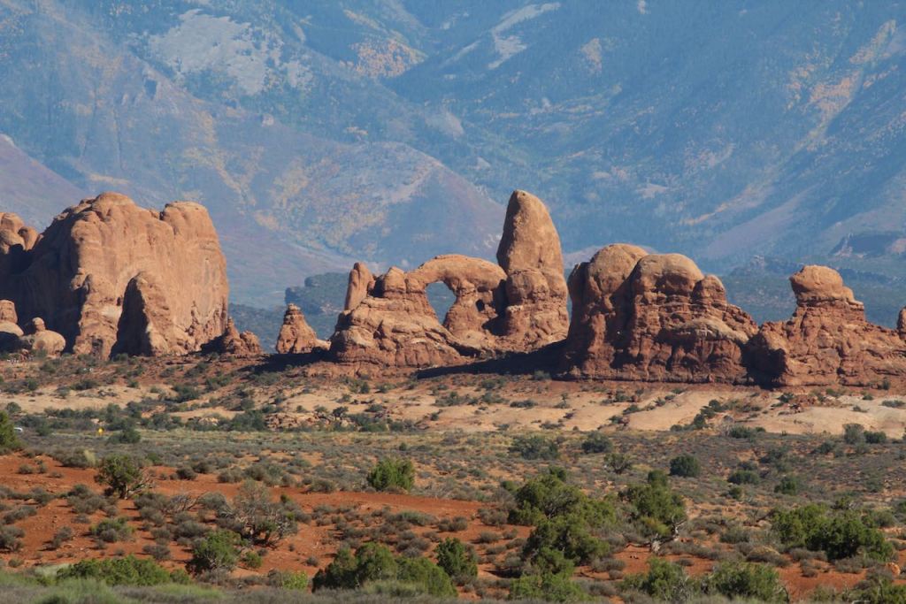
On the top left, that’s one of the “windows.” We didn’t have the energy to walk all they way out to it, but did get close enough to tell it was a arch. Below that, is a cool formation with a bunch of “windows.” On the right is the Double Arch, with and without Tina and Me.

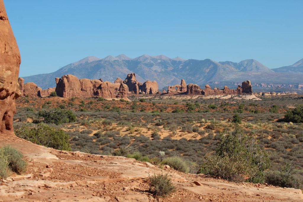
A couple of views from Panorama Point.

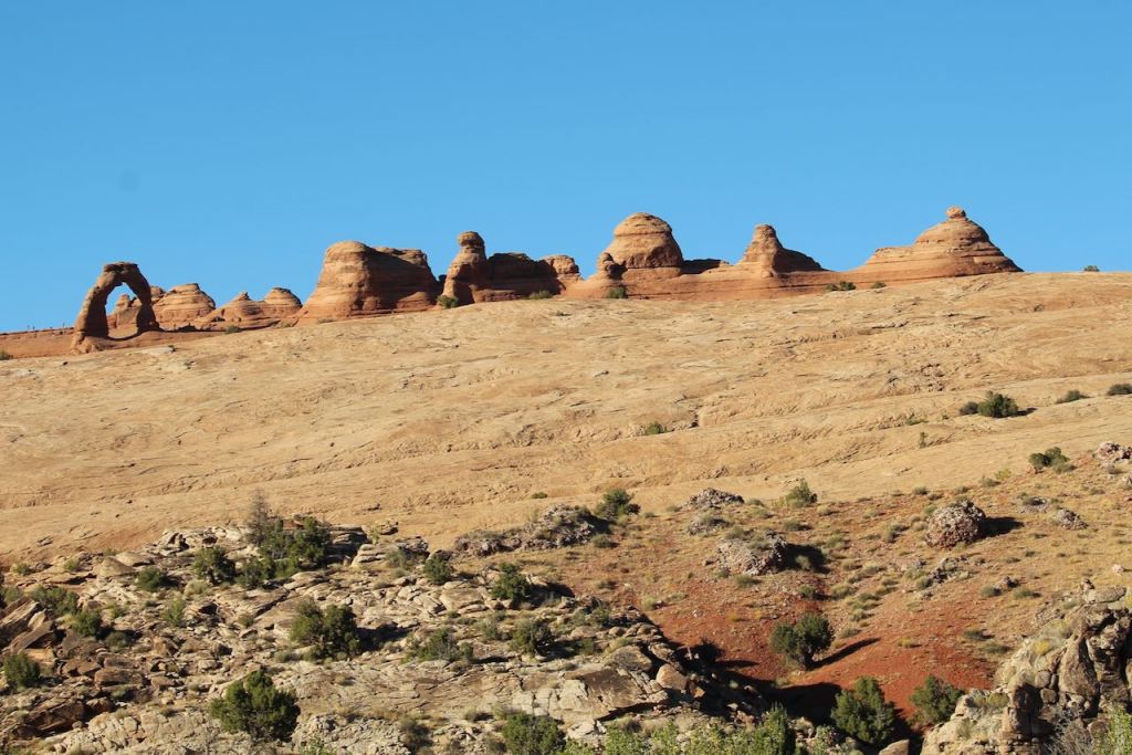

This is Delicate Arch. We did not take the over 3 mile trail that the folks you see in these pictures did. Instead we did the 300 ft trail to the lower viewpoint. The Delicate Arch is 60 feet high. This is the arch that is seen all over Utah in publicity, including on the Utah license plates.

These rocks have a green tinge. It’s not from copper but from illite and chlorite that come from the iron in some volcanic ash being filtered through organic material in the Jurassic period.


Then it was over to the Fiery Furnace viewpoint. You can see the natural labyrinth of narrow passages between the towering sandstone in the upper pictures. You are not allowed to hike in this area without an NPS guide. And I really enjoyed these formations that looked like hamburgers.


We knew that we would stay in the park for sunset and one of the rangers said the picnic tables across the road from Balanced Rock was a good place to have the crackers and cheese and fruit that we had brought along for our dinner. The sun actually set “behind” us, so it was mostly a reflected glow, and with a clear sky it wasn’t the best sunset, but it was a nice evening to enjoy being outside.

As we were driving out of the park we stopped at another overview and I snapped this photo – yes, those are headlights illuminating the bushes. Then it was back to the RV for an early evening as it had been a long day.
Saturday September 30 was our last day with Tina & Jeff as they were leaving early on Sunday to get back to Scottsdale before dark. We started the day with coffee in their RV (it was too windy to sit outside.) Then, because we were tired of driving and hiking we decided we would go to the Moab Museum of Film & Western Heritage.

It was a little further out of town than we expected, at the Red Cliffs Lodge. This was up a canyon along the Colorado River – nice drive getting there.

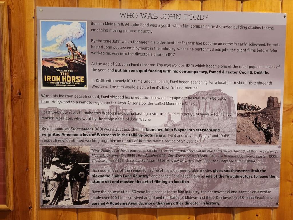
The Moab Film Committee, now the Moab to Monument Valley Film Commission, was founded by George E White. He was instrumental in bringing John Ford to the region to shoot many of his western movies. The White Ranch supplied extras and horses to the film makers.
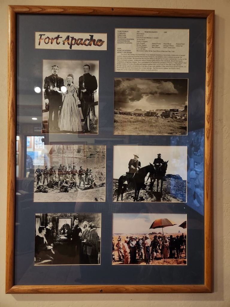
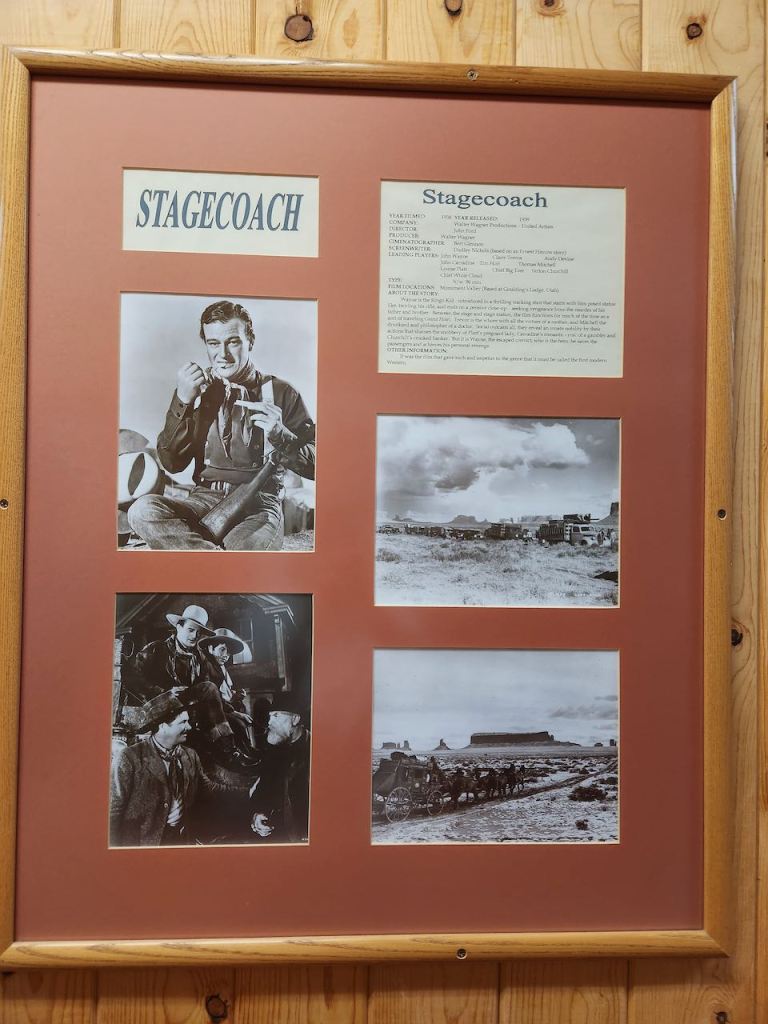
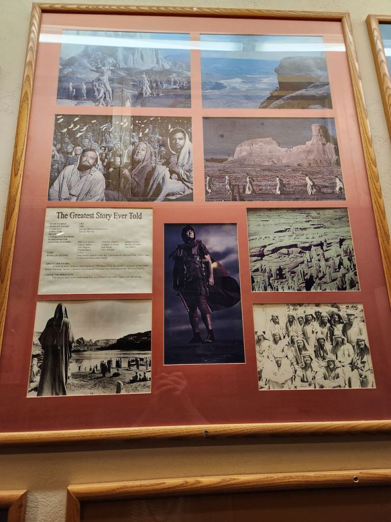

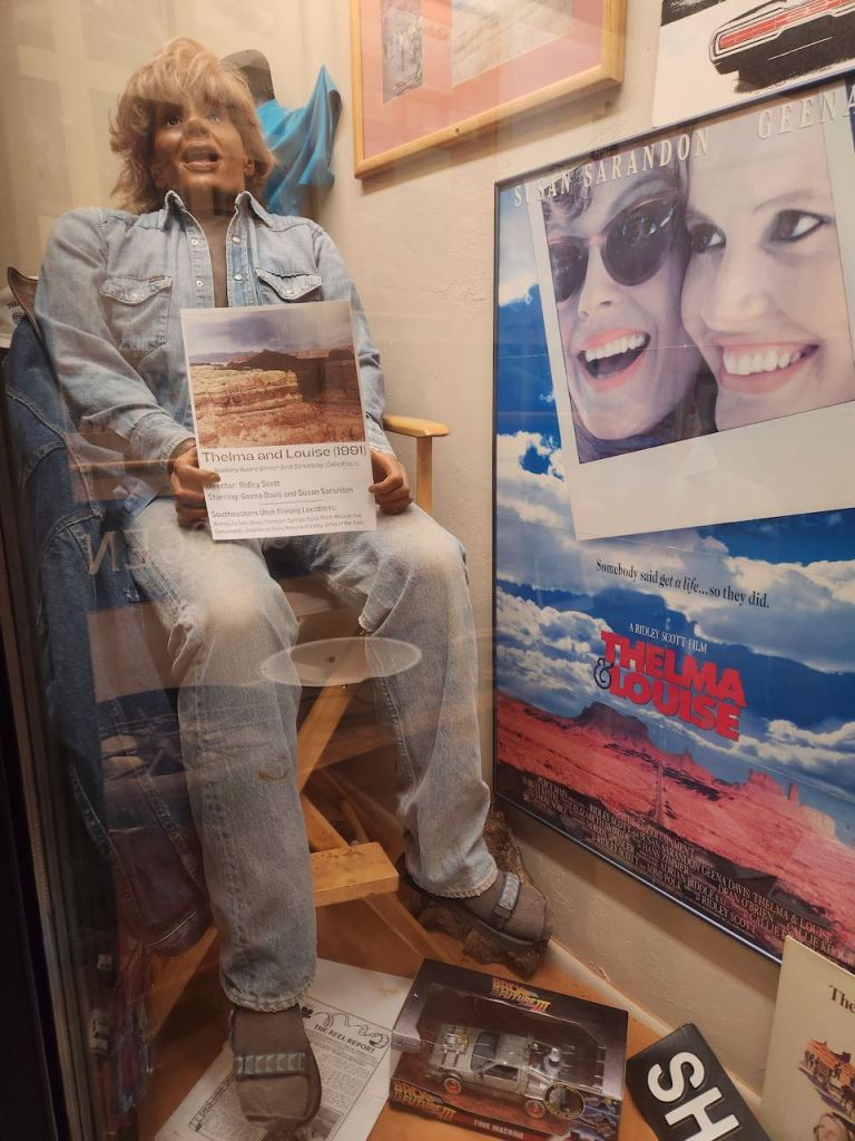
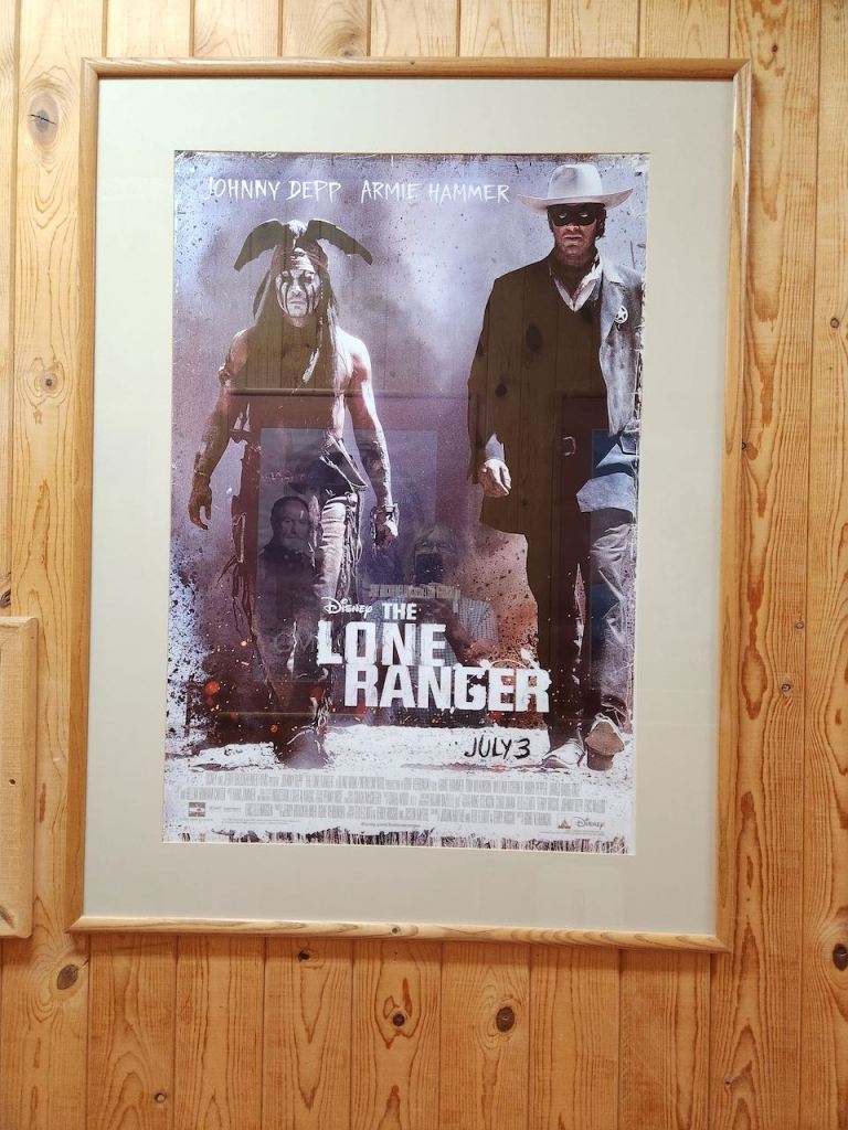
It was a small museum with information about all of the movies filmed in the area. Here are a few that interested me. For Thelma and Louise they actually had the dummy that went over the cliff in the car (twice for filming purposes.) And there was a story about the helicopter pilot who had to retrieve those cars.

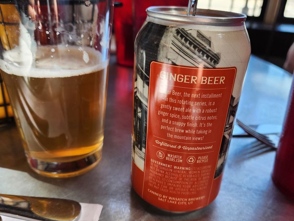
We had lunch back in Moab at the Spoke Restaurant. Tina and Jeff had very good Bloody Mary’s and I had alcoholic Ginger Beer – that was actually beer – not what I was expecting. Then back to the RV to get ready for our round of golf.
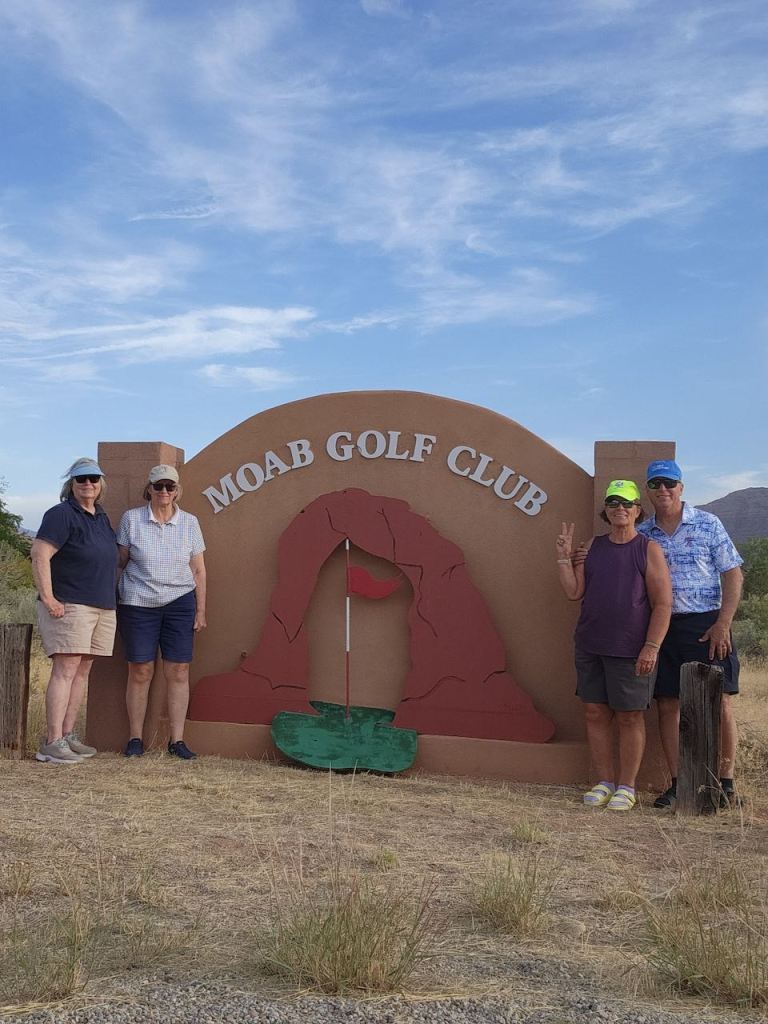


We played 9 holes at the Moab Golf Course – the only golf in town. It was a very nice course and it was very windy, but there were great views of the rock cliffs. I had one par and beat Trish by one stroke. Notice the Delicate Arch logo used everywhere.
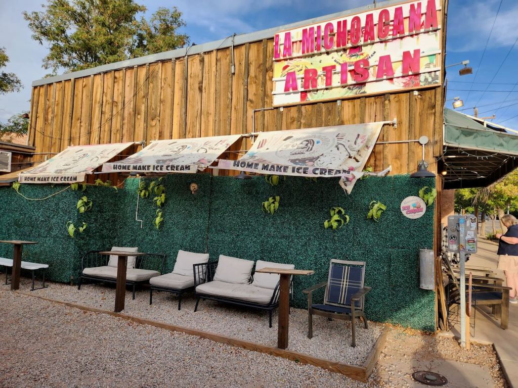
Back in town we got ice cream at this small ice cream shop – it was in the back of this craft shop. Despite the location, we really did enjoy the ice cream. Then it was once more back to the RV where Trish made chicken and yellow rice for our last meal before Tina and Jeff headed home. On Sunday, they took off early, and we were staying one more day. We washed the RV, did the laundry and cleaned the inside of the RV too. I also made reservations for the next few nights on the road. When it was time to start thinking about heading home, there was a question on what would be open giving the potential government shutdown. So we had decided to forego two National Parks we were thinking about going to in southern Colorado and head home.
But not straight home, so you’ll hear all about those adventures next time.
Until then, Safe Travels!

Leave a comment