Again, it’s a bit of a tease, as having been there already, we didn’t go into Memphis on this trip — but it is around the end point of this post so it is a good title.
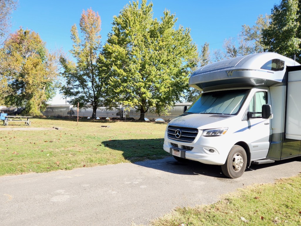
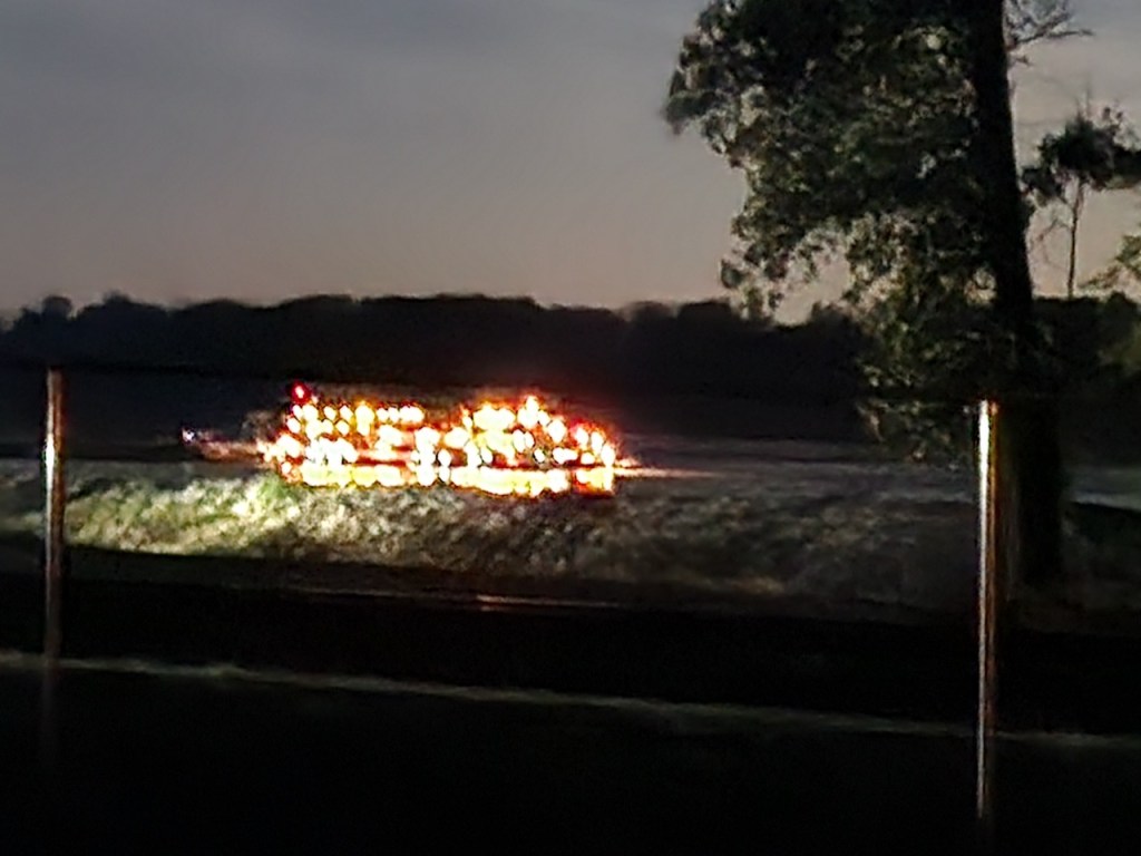
We had arrived at the Trail of Tears State Park in Jackson, MO on Thursday, October 18 late in the afternoon. I had read that the train tracks were close to the campsites, but didn’t realize how close. I took these pictures the next morning when a train went by. And they have to sound their horn because there is a road that goes across the tracks right at the entrance of the campground. And yes, trains can run at any time of the day or night. I only heard three that went by while we were sleeping – not sure if that is all there were, or if I slept through others.

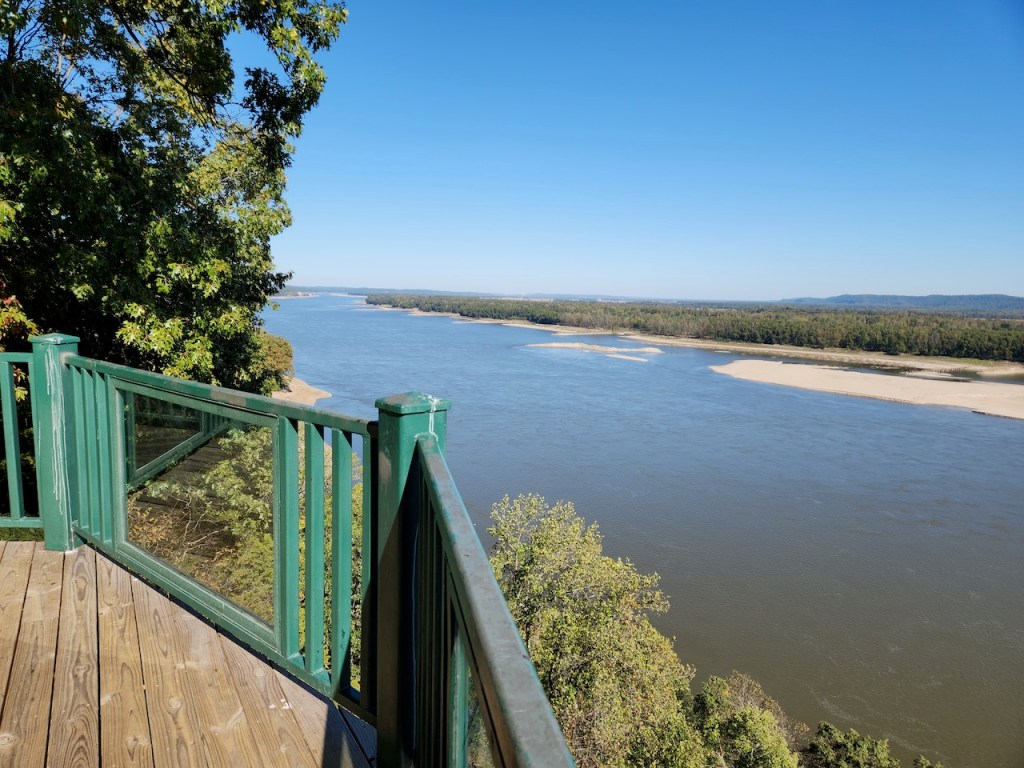
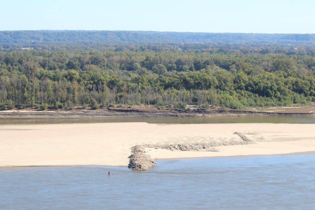
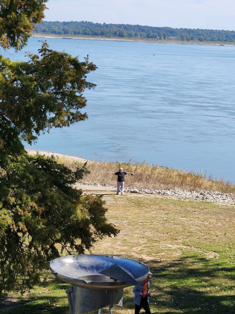
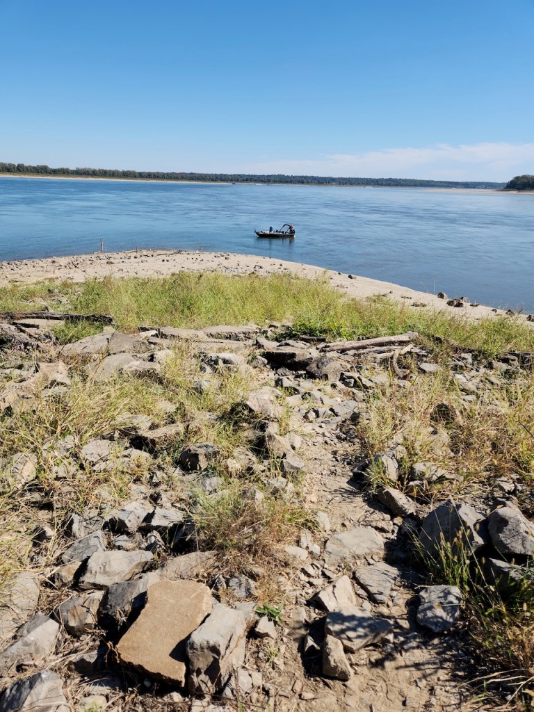
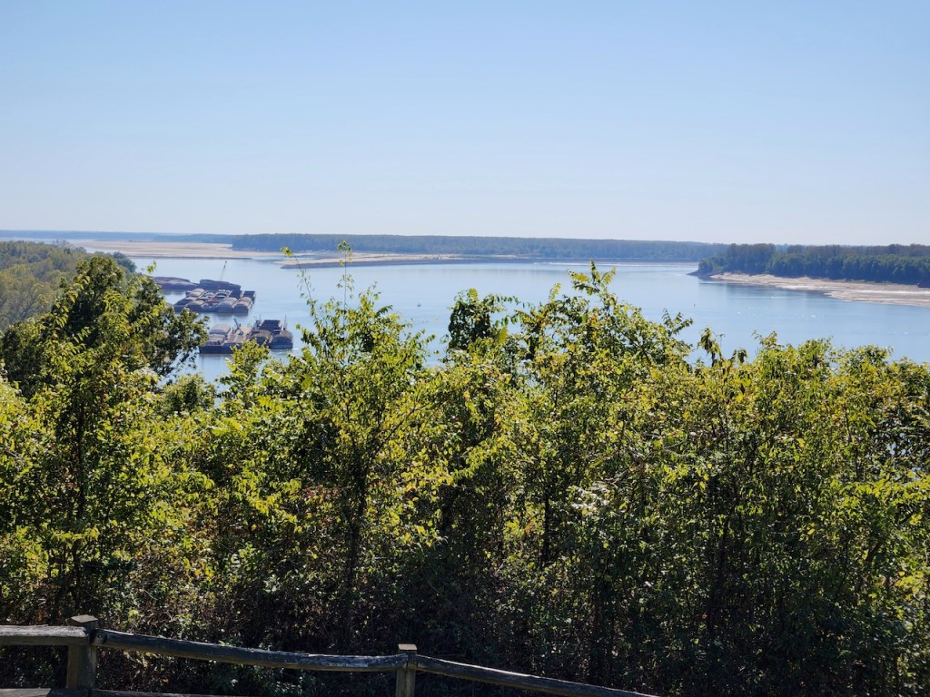
Our first stop in the morning was to drive up to the overlook that is in the park. We drove to the top of the bluff and got some great views of the Mississippi. In 1673, Father Jacques Marquette and Louis Joliet came through this area from the north exploring for France. It was near here that he decided that the Mississippi went through to the gulf, through Spanish territory. They decided to turn back. This is also another area that Lewis and Clark went through before starting their expedition

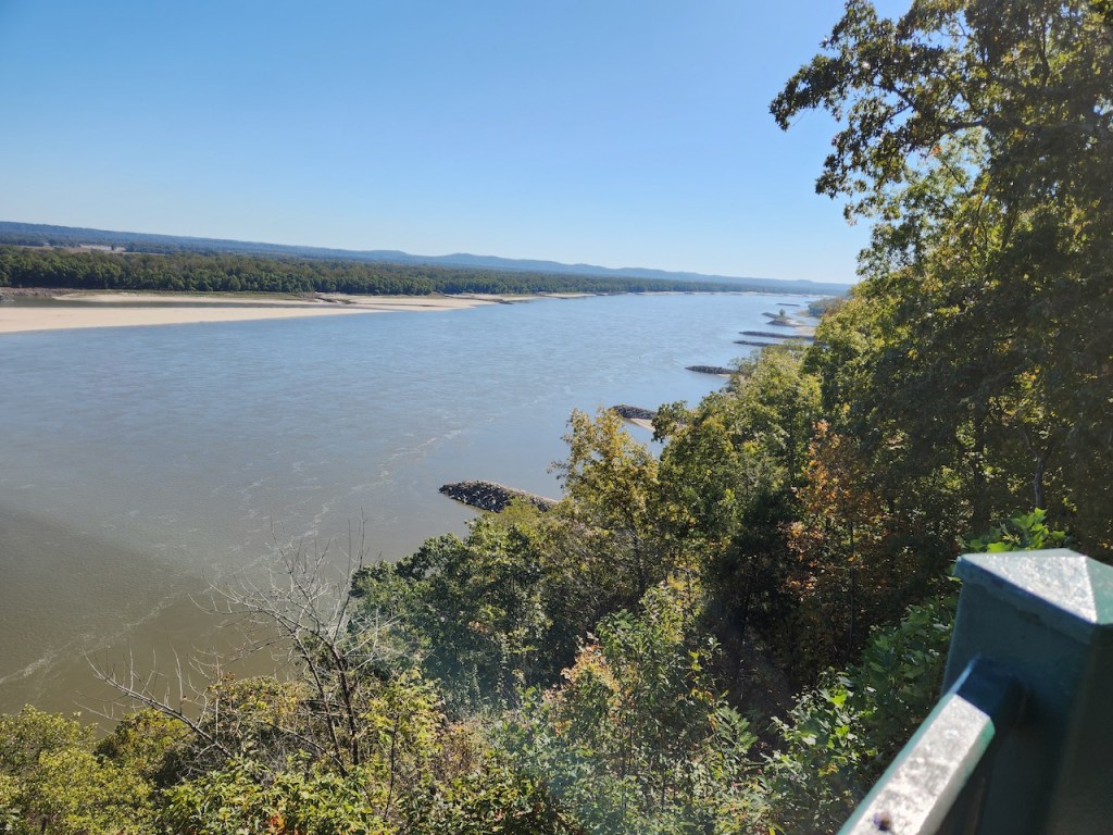
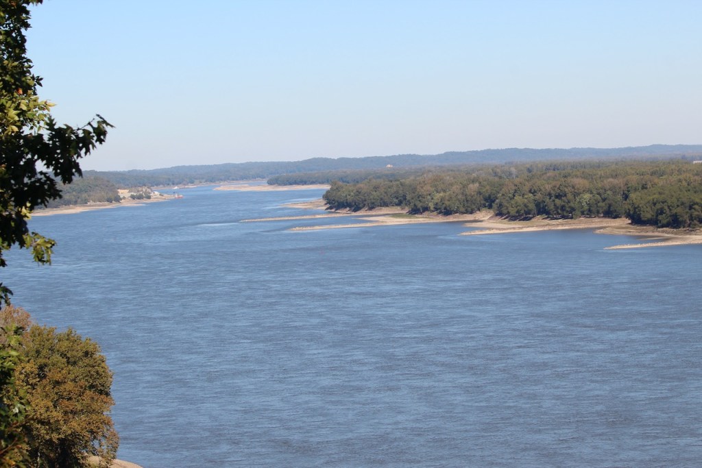
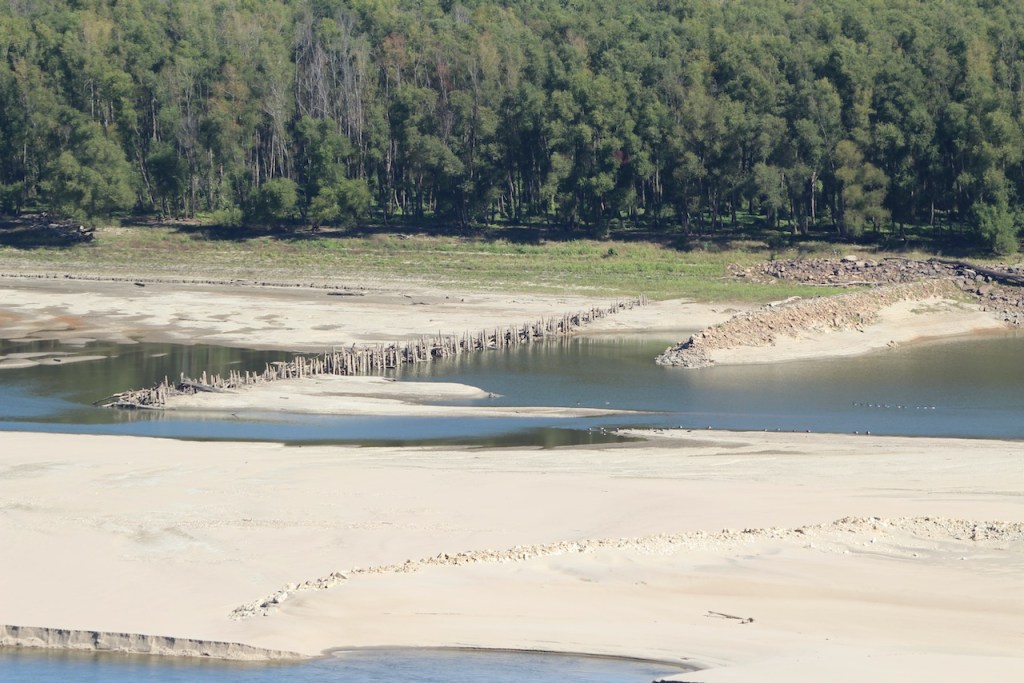
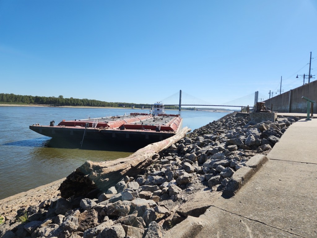
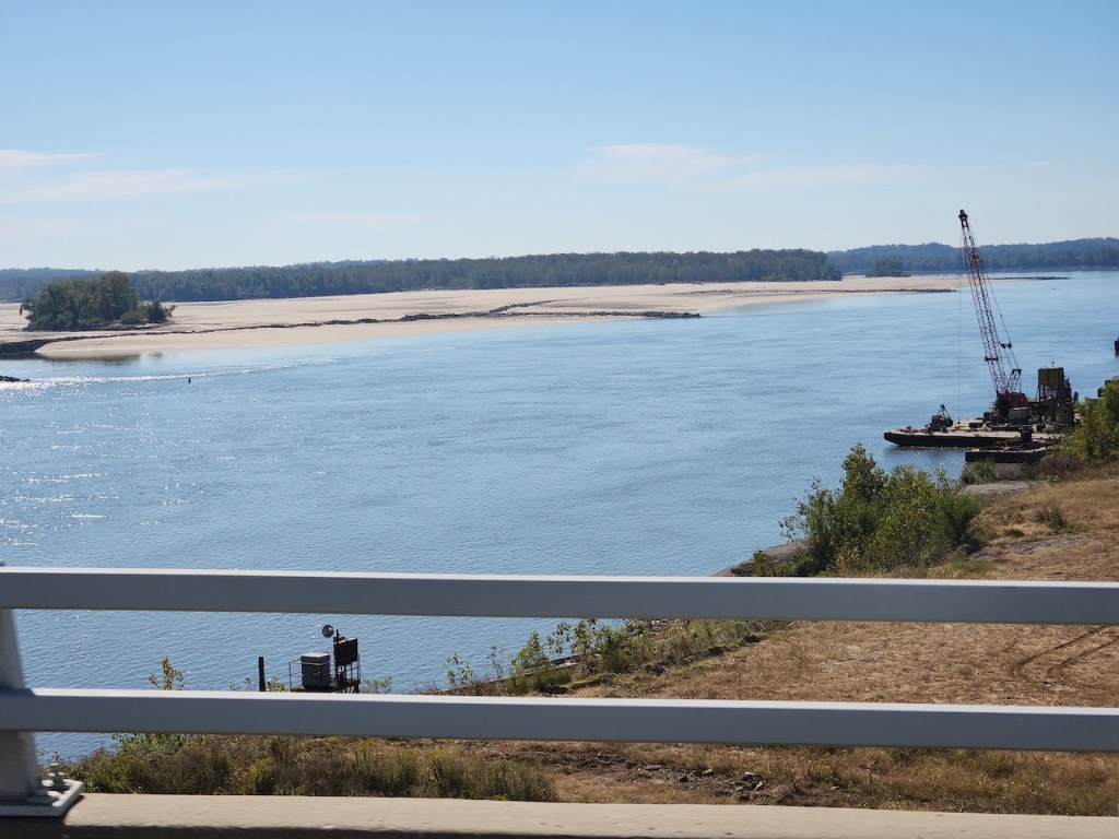
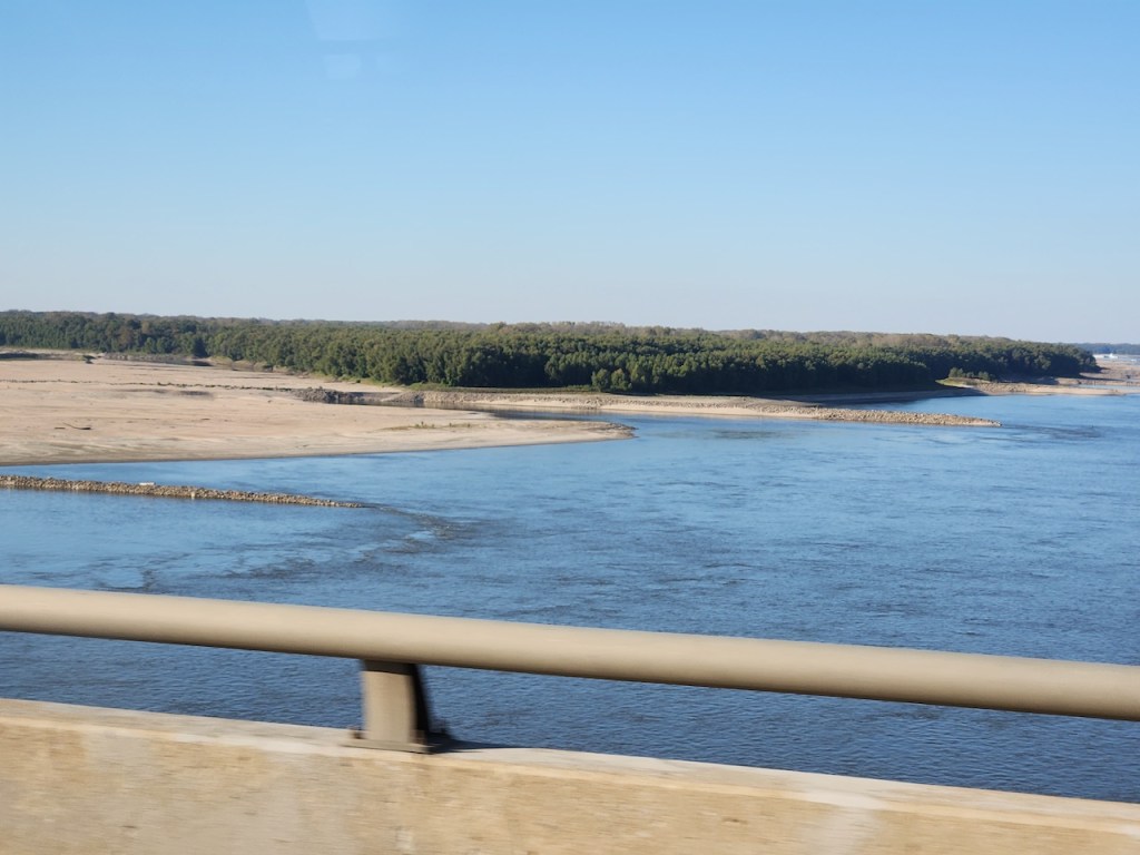
Not sure what caused those piles of sand in the first picture – maybe the result of some dredging? And there are remains of a wharf of bridge in the second picture. Yes the river is low.
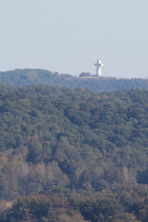
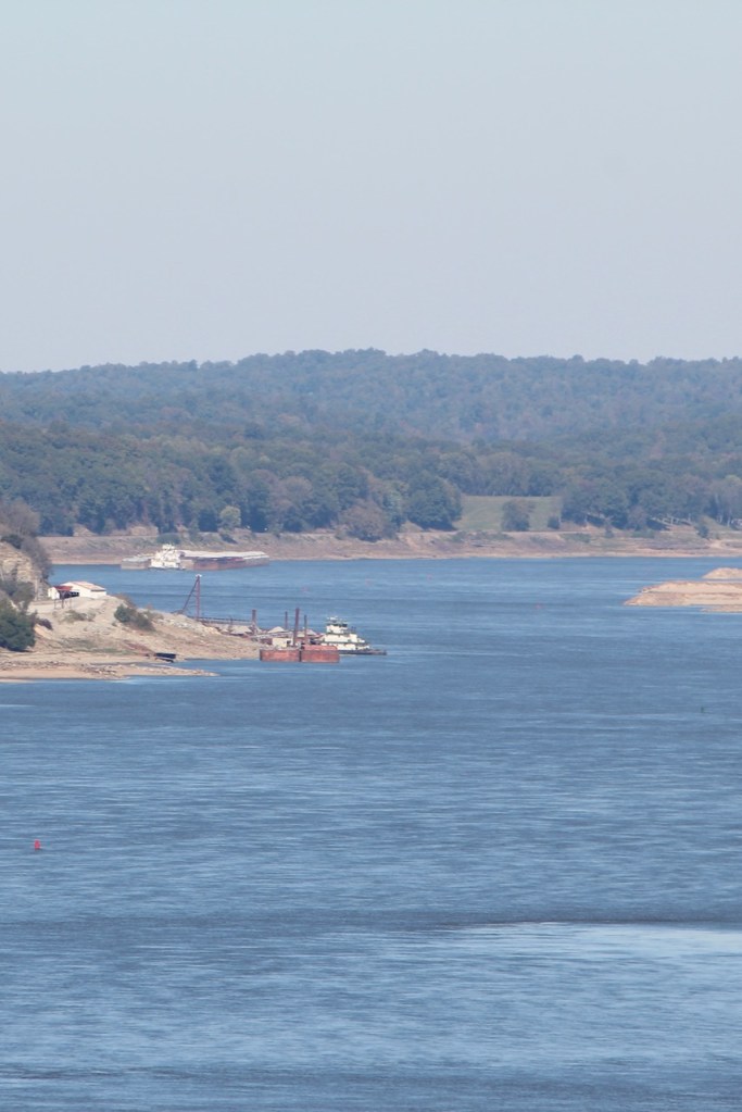
Spotted this huge cross across the river – never found out what it was for. It is definitely a working river around here.
After the overlook we went to the park visitor’s center. There was a movie about the Trail of Tears – the forced march to remove 100,000 southeastern Indians to Oklahoma in the 1830’s. It is estimated that over 15k people died along the route – which went right through this area.
It was our 11th wedding anniversary, and I found the perfect place for us to have a nice lunch – Mary Jane’s Bourbon and Smokehouse. We both had cocktails, followed by prime rib for Trish and Brisket for me. And of course we ended the meal with ice cream. Needless to say, we didn’t eat much more that day.
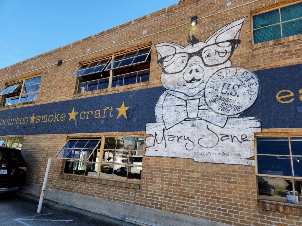

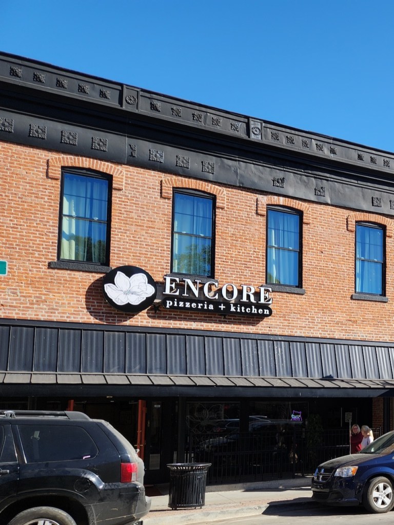
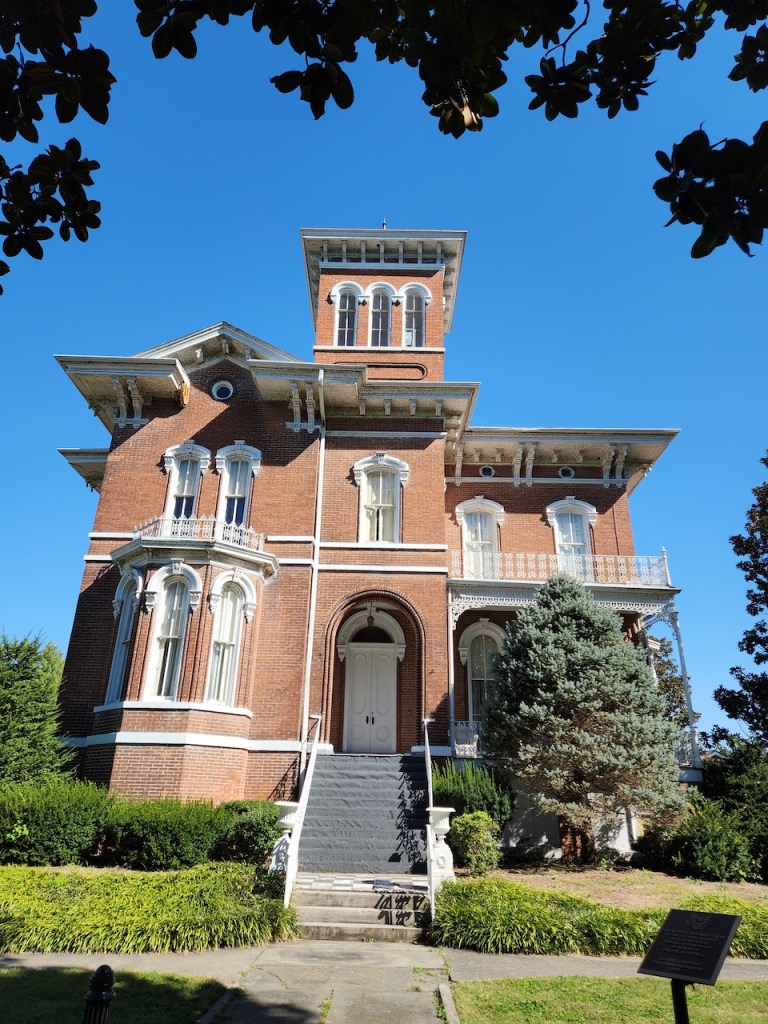
The restaurant was in the town of Cape Girardeau, a Mississippi River town founded by French fur traders in the early 1700’s. We took a walk around town, spotting the town hall and some other older buildings.

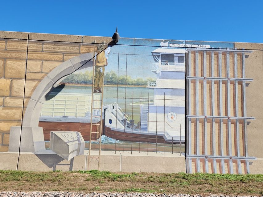
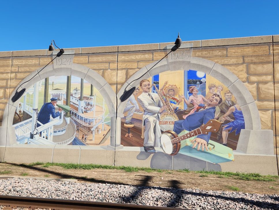
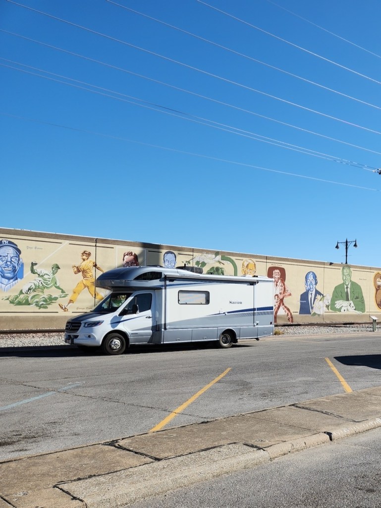
We also took a walk along the floodwall, which is decorated by murals that depict the history of the area. (We saw a similar set in Paducah, KY when we visited there.) We walked in reverse order – so that the way I have presented these. Dated 1964, the first one depicts the completion of flood wall, which is over a mile of concrete and earthen levees. The next one is depicting the Riverboat and Jazz ages in 1924/25. Then there is the statehood panel from 1921, and finally the Lewis & Clark expedition which came through Cape Girardeau in November 1803. There were about 20 others, but … figured that was enough history for you.


This welcome sign is on the river side of the wall, where we saw plenty more barges. Trish giving you perspective on the heights of some of the worst floods – that top one was from 2016 when the the river crested at almost 49 feet. The system is built to protect the area to a 54-foot flood stage. Our RV parked in front of the part of the wall that depicts those folks inducted in the Missouri Hall of Fame.


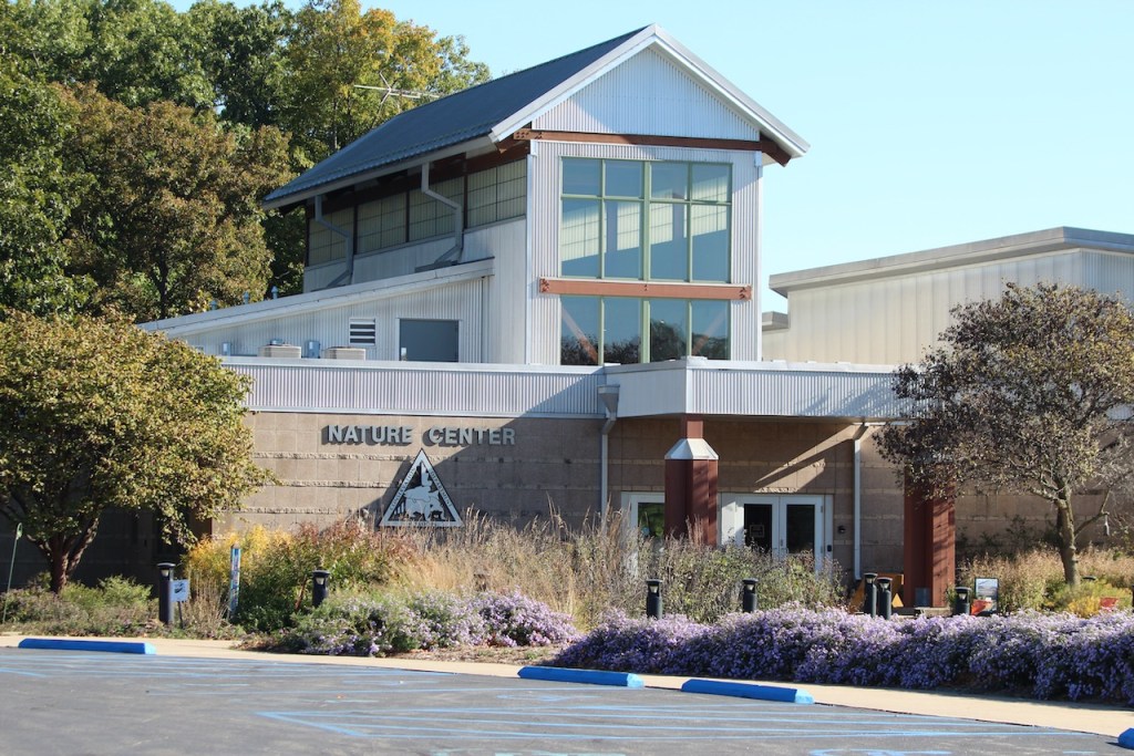
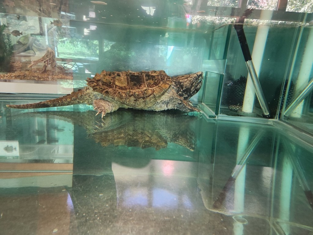
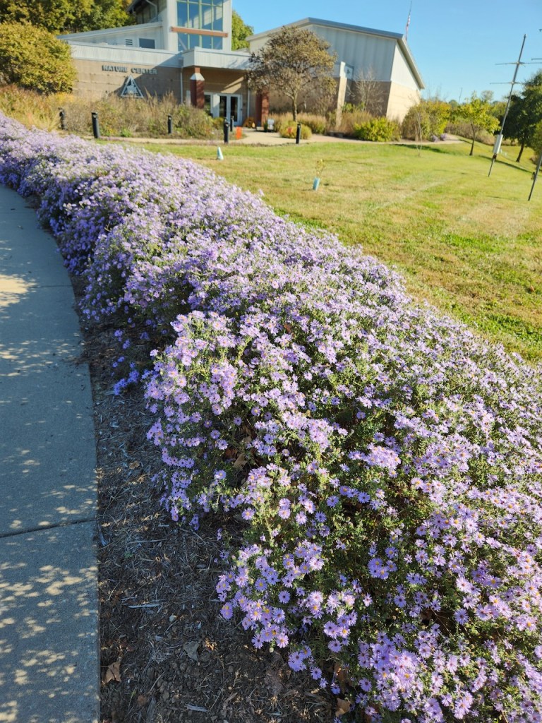
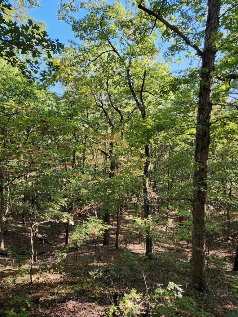
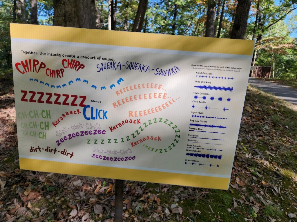
Again we looked for a spot to do some bird watching, and ended up at the Cape Girardeau Nature Center. They had some nice exhibits, including this alligator snapping turtle (wouldn’t want to meet one of those in a pond.) All of the purple flowers were covered with bees and butterflies. This was the trail that we hiked and there were these signs about the sounds the bugs make all along the way – we didn’t hear many of them, nor did we see many birds.

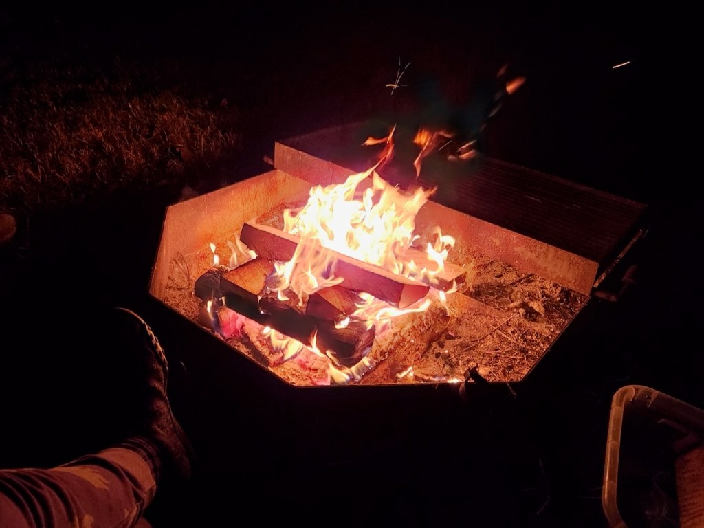
We had a fire that evening and, despite not being that hungry, made s’mores. And we saw one of the river cruise boats going by – more about that later.
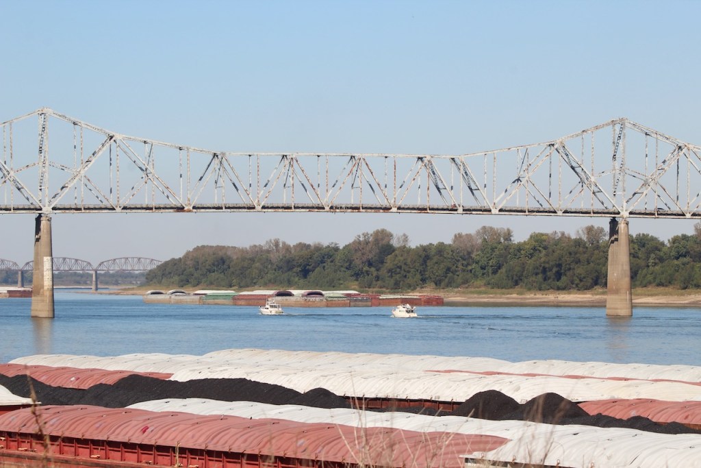
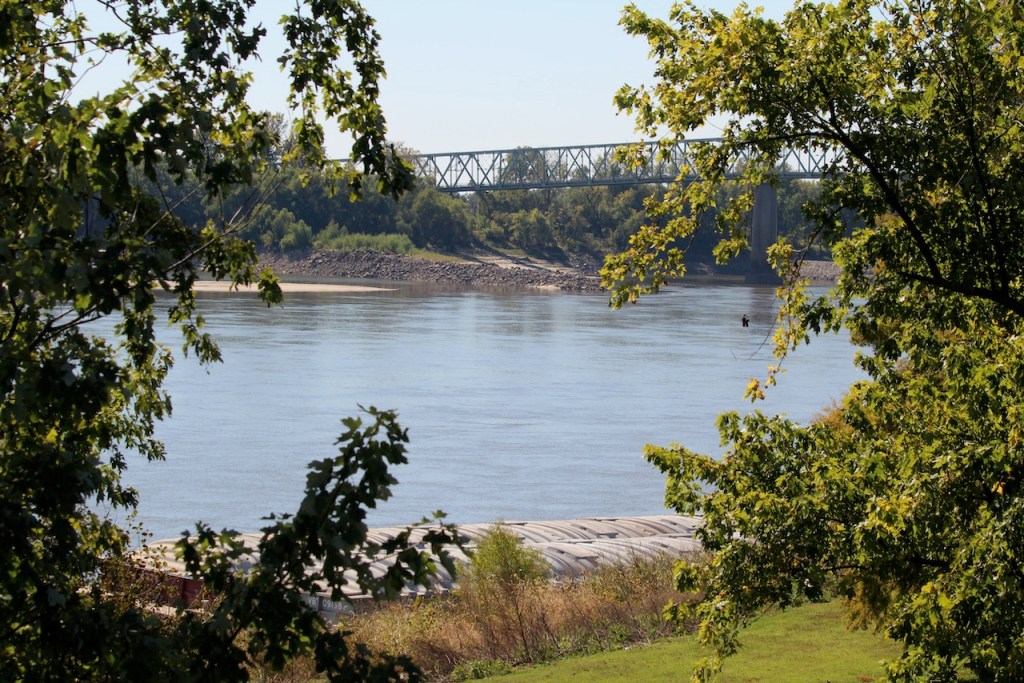
We started Saturday, October 19, by going over another bridge over the Mississippi.

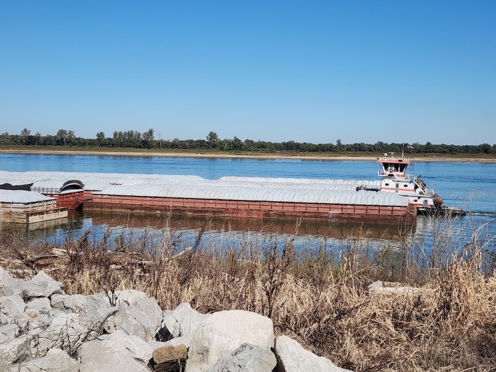
We then went to Fort Defiance State Park – which is at the southern tip of Illinois, where the Ohio joins the Mississippi. I heard that the current of the two rivers stay separate for about a mile after they meet. We spotted some loopers, maybe they were the same ones we had seen earlier, heading up the Ohio River. There was a tug putting together a raft of barges, and then you have another view of the Ohio. We met a very nice couple here, Bonnie and Craig, who were traveling in a camper van. They were from Ohio and were planning to be on the road for at least a year. We love our trips but have never thought about being gone that long.

I climbed up to the little tower and snapped the photos of Trish standing between the two rivers, and those fishermen were really between the rivers. That’s the lookout and a sculpture as well as another view of the Ohio River.

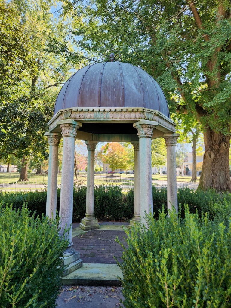
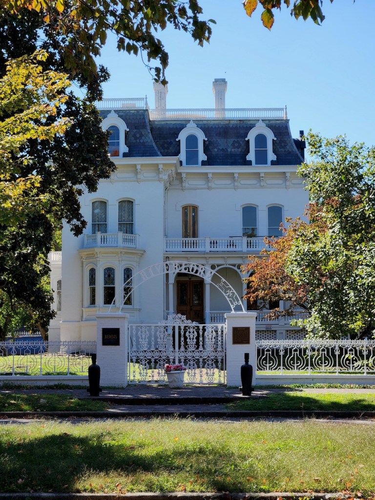
We then drove into the little town of Cairo, IL. We wanted to visit Magnolia Manor, which was supposed to be open for tours. It looked like there was a car there, but no one answered the door. It was built in 1869 for Charles Galigher, who had made his money supplying flour and hardtack to the Union army. It was supposedly decorated with period pieces – the little gazebo was on the property. And the white Victorian was across the street.

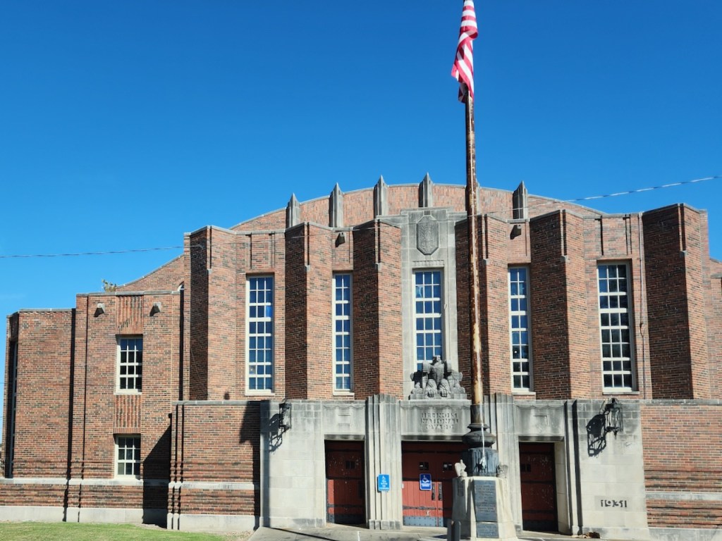
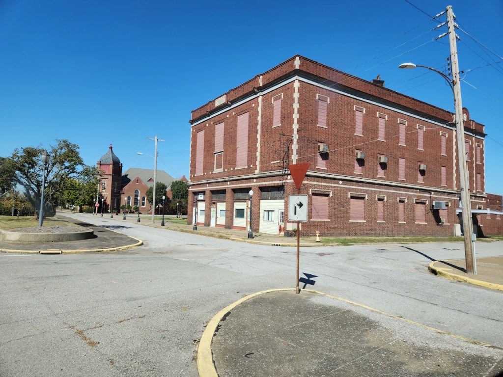
Some shots of the old buildings in Cairo. the buildings don’t look too bad in these photos, but the town was pretty run down.
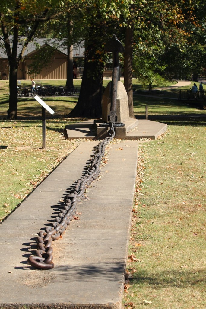
Kentucky was next up on the state list – it has the fewest number of miles (68) of the GRR. But we did find a place to stop – the Columbus – Belmont State Park. We ate our lunch and then wandered through the park. They had this chain – which was part of the mile long chain that was strung across the river during the civil war by the Confederacy to try to stop the Union boats going up and down the river. Each link weighs over 20 pounds, and it was supported by floats and pillars. It was removed when the Union occupied the site starting in March 1862. Once again, we were on the bluffs overlooking the Mississippi River.


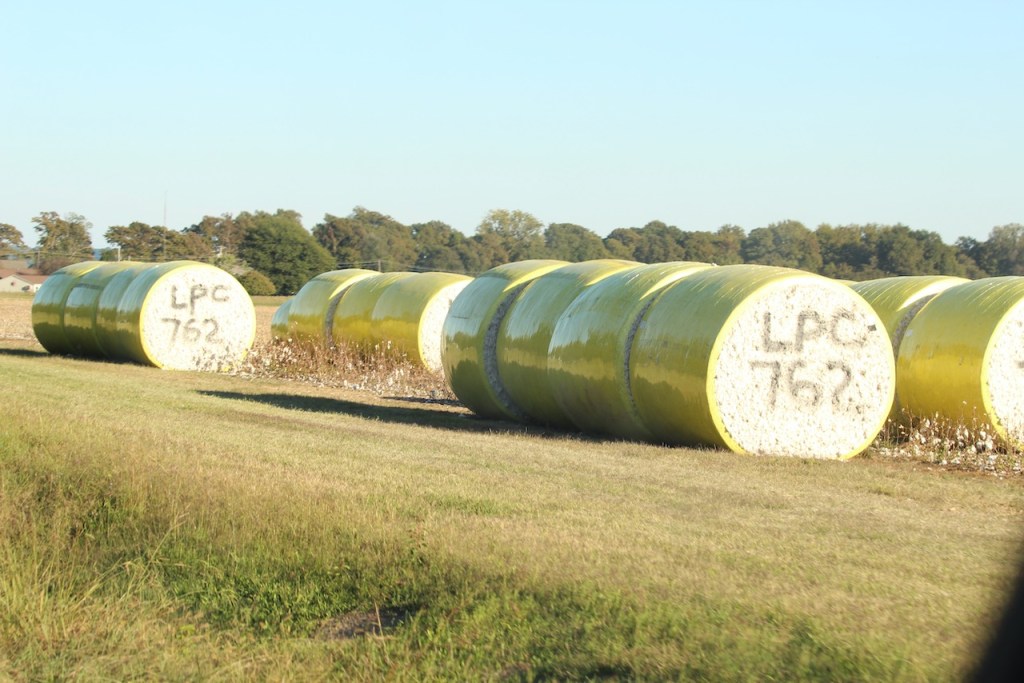
Then it was on to Tennessee – where it seemed that it was almost immediately that we started to see cotton fields, and these big bales of rolled up cotton. They were all numbered like this, I suppose to to identify them when they arrive at a processing plant.

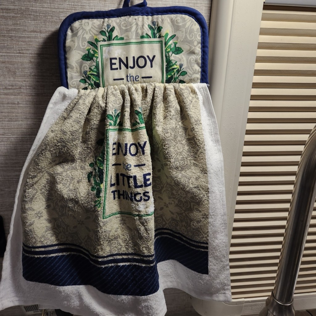
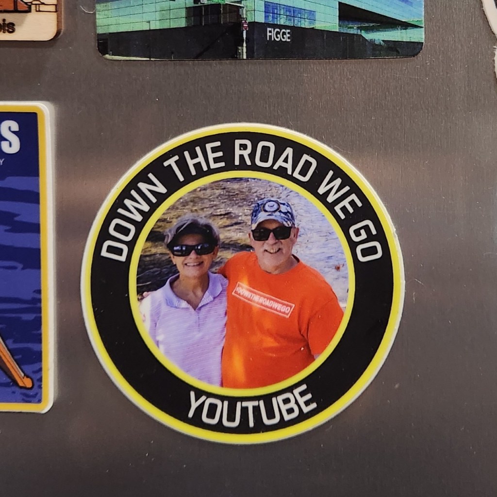
Here we are parked next to the garage at “Camp Sinclair.” It is a Boondockers Welcome site – which means you are staying at someone’s house. Dave and Shirley met us at the driveway, led us to the site and were very welcoming. They gave us a gift of a kitchen towel, and we made a magnet out of the card they had advertising their YouTube channel. We shared tours of our RV’s and swapped stories about our travels. It was a great visit, and they had better Wi-Fi than we get in many commercial campgrounds.

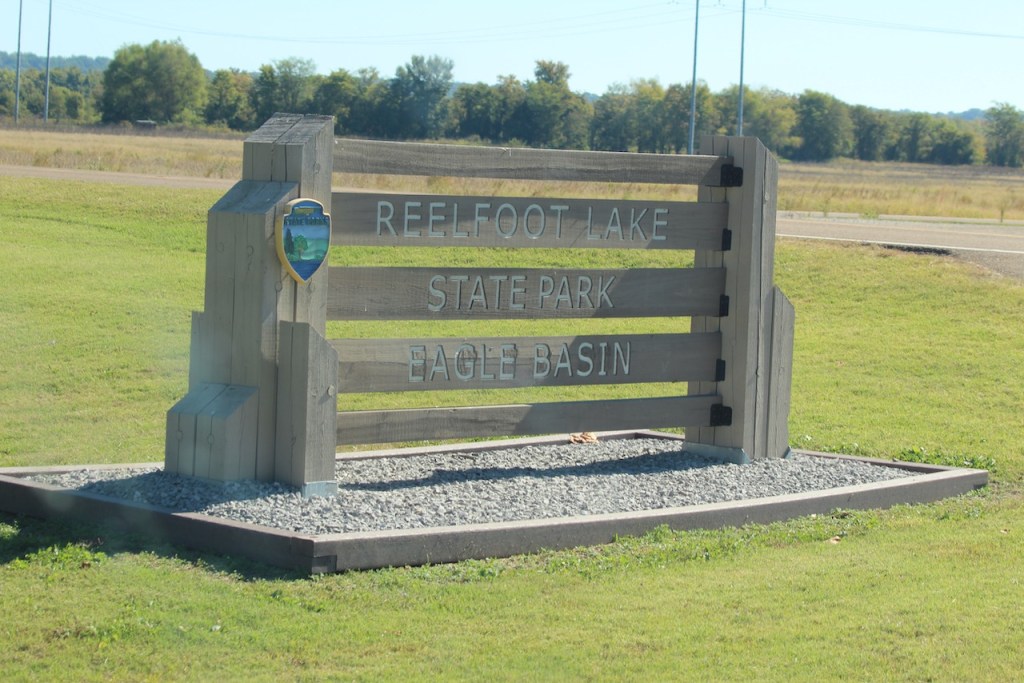
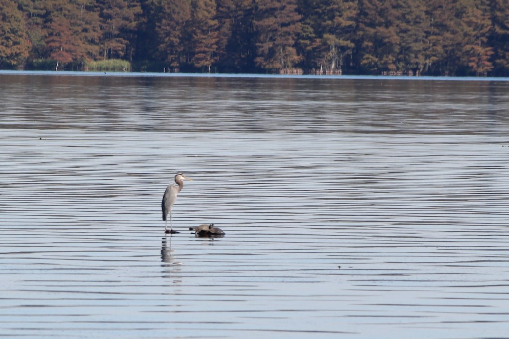
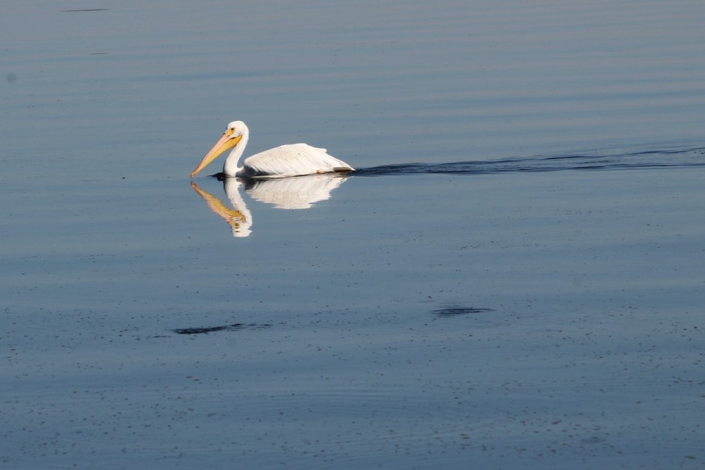
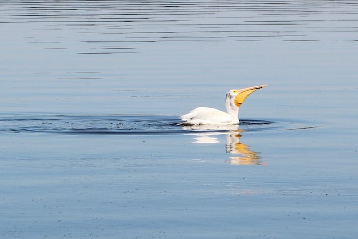
The next morning we stopped at Reelfoot State Park, took a walk out a pier where we spotted a heron and a few pelicans, including this one having some lunch.
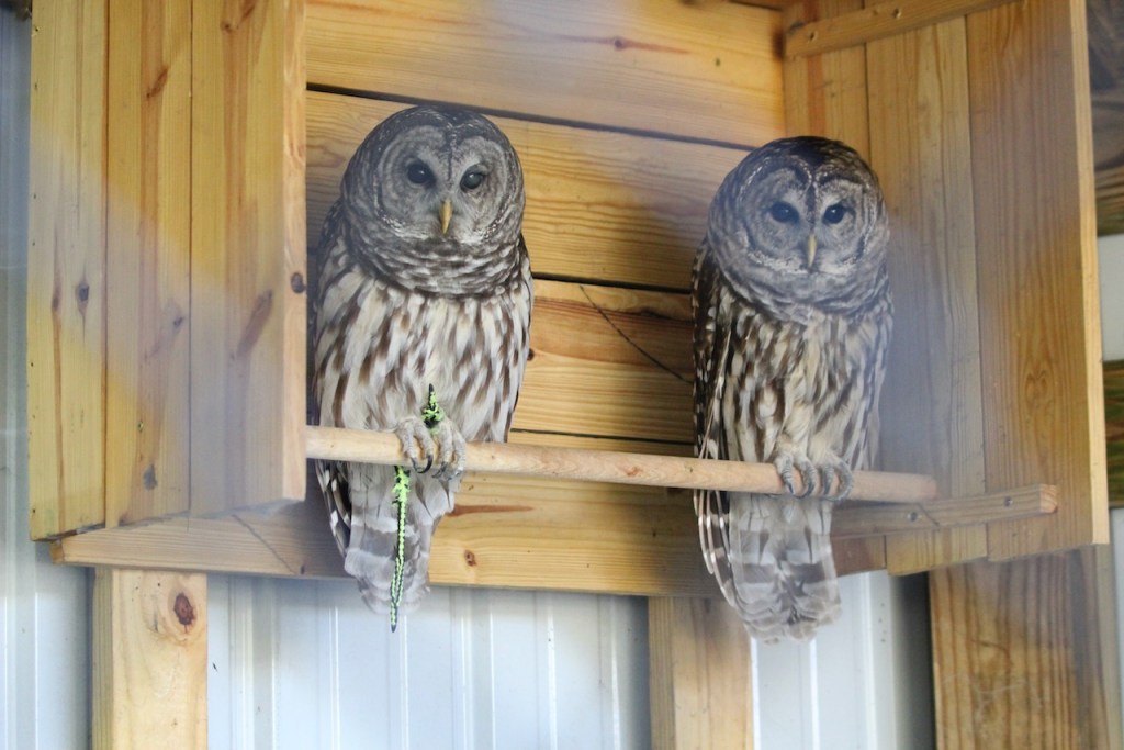
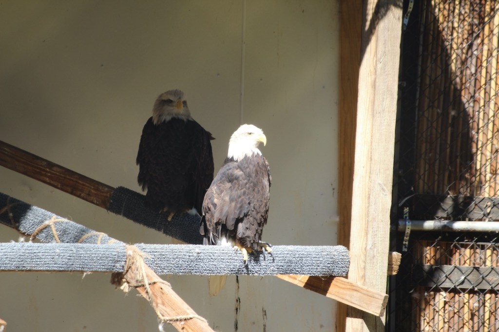
They had a small aviary with some injured barred owls and bald eagles.
There was also an area that had a boardwalk through a cypress swamp.


Then it was back on the road and once again, over the Mississippi – this was just north of Memphis – and we were going from Tennessee into Arkansas.
Next up, a side trip!
Til then, safe travels!

Leave a comment