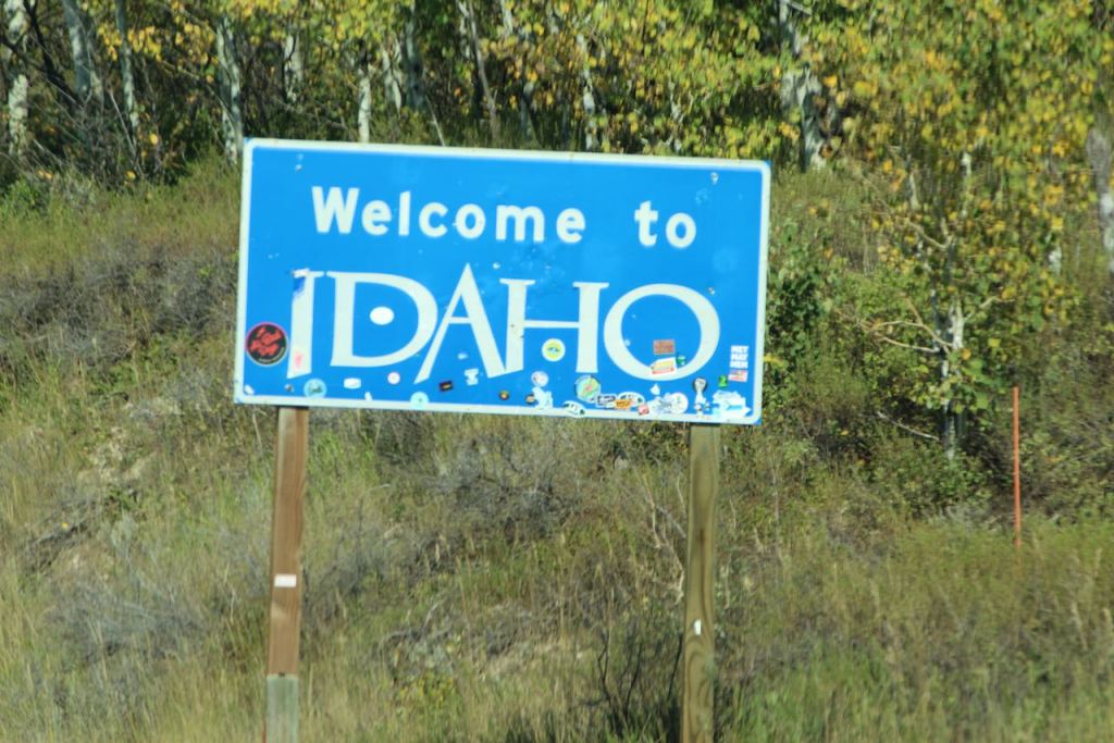
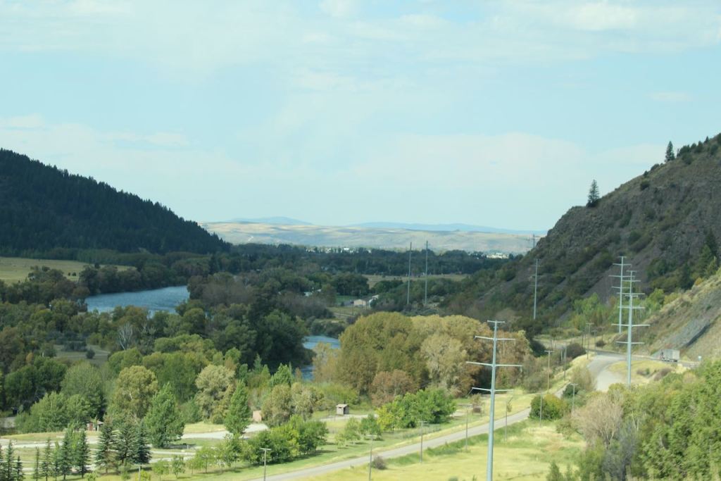
After finally packing up in Wyoming and getting on the road on Monday, Sept 18 it was mostly a day of driving to Arco, Idaho. No interstates and no Teton Pass – just mostly along the Snake River.

And we also started to see some color.
After staying overnight in Arco, Idaho, we had a short day of driving to Mackay (say Mackie with the accent on the first syllable) on Tuesday September 19. It’s a very small town, with a rich mining history, which was a recommended stop by my brother and his wife.

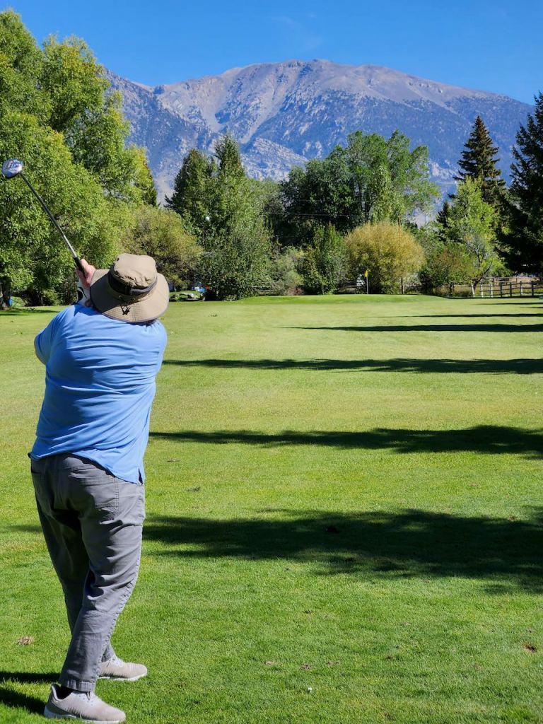
We got in our Idaho Golf at the River Park Golf Course. It had great views and even without any pars I beat Trish. There was an RV campground there, but it looked like all full-timers, and we had a reservation elsewhere. But Trish did get to see some kitties that were hanging around. Then we had some lunch at the 9 Peaks Restaurant.
Mackay has been called the ATV Capital of the West, and allows ATVs on all the streets in town. We decided to give it a try – out first ATV rental. There are 100’s of miles of off-road trails, one of which is Mackay Mining Trail – the place we rented from said we could probably see most of it in the ~2 hours we had until we needed to get the Polaris Rzr back to them. Here is Trish at the wheel.


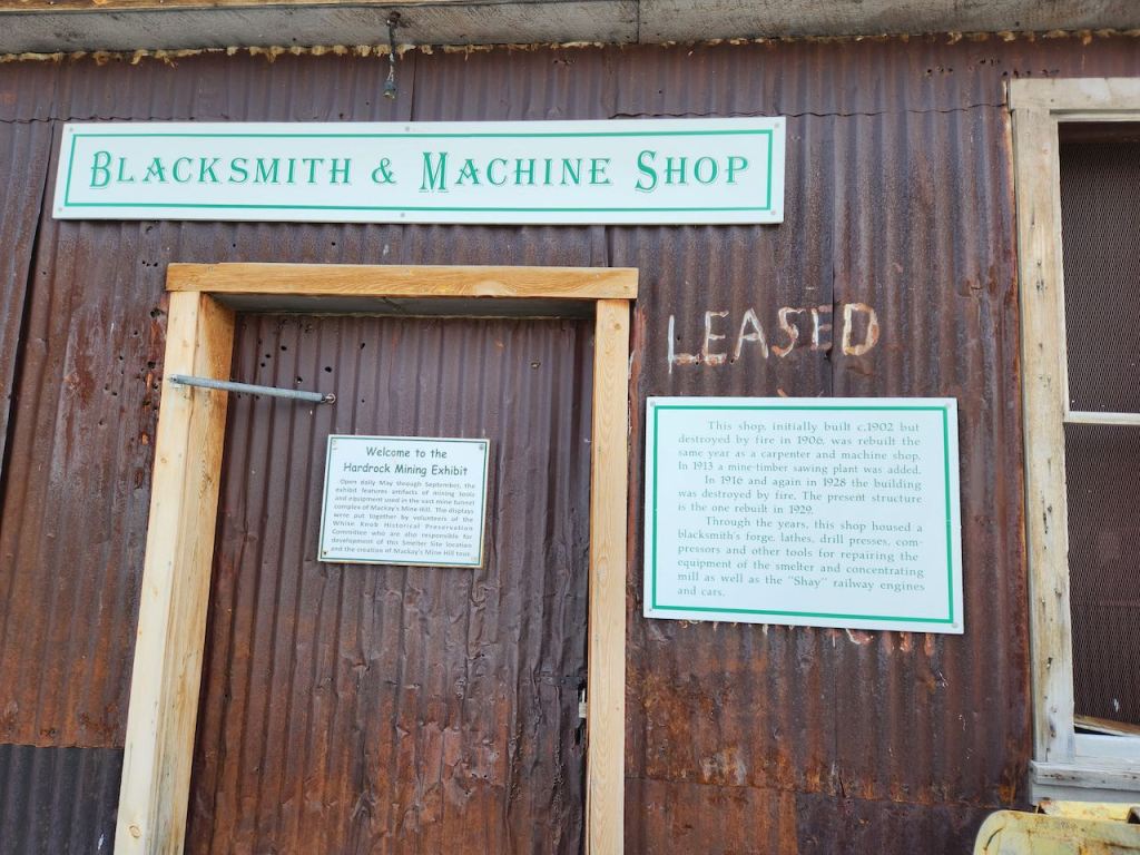

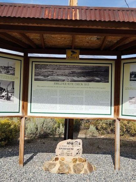
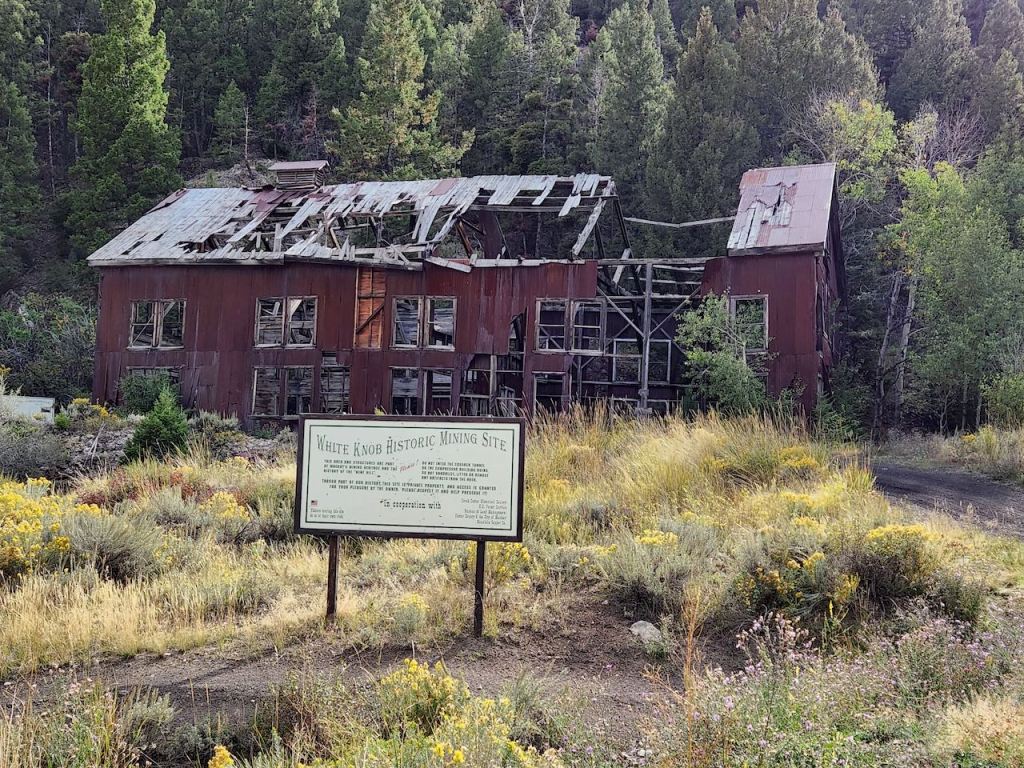
The first stop was at the site of the smelter that was built in 1902. That building is gone, but the remains of one of the draft hoods is still there. Also, still there is the blacksmith shop, which of course I had to go into. Besides the blacksmith display there was a full display of the history of mining in the area, and the tools that were used to do “hard-rock mining,” the method used in the area that included using dynamite to initial break up the ore, and then hand picks to break it into chucks to be sent to the smelter. Both copper and silver were mined in the area, but never super successfully.
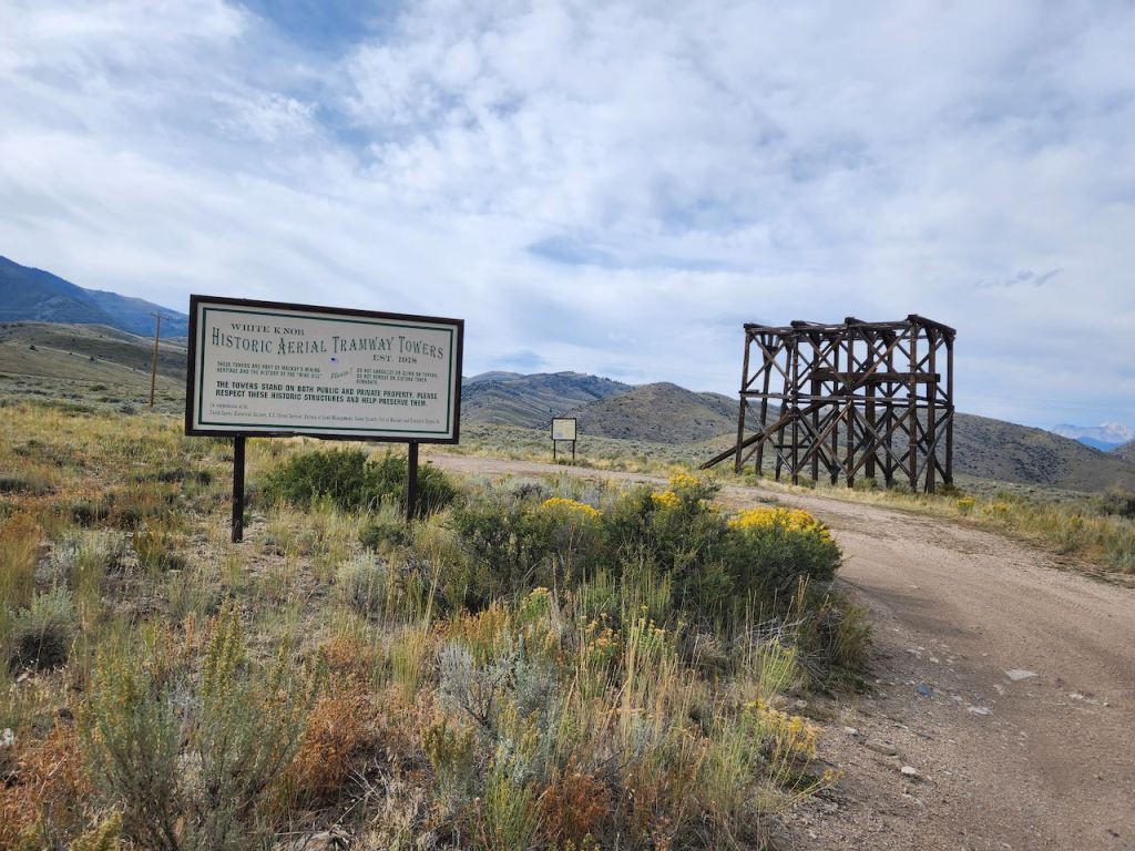
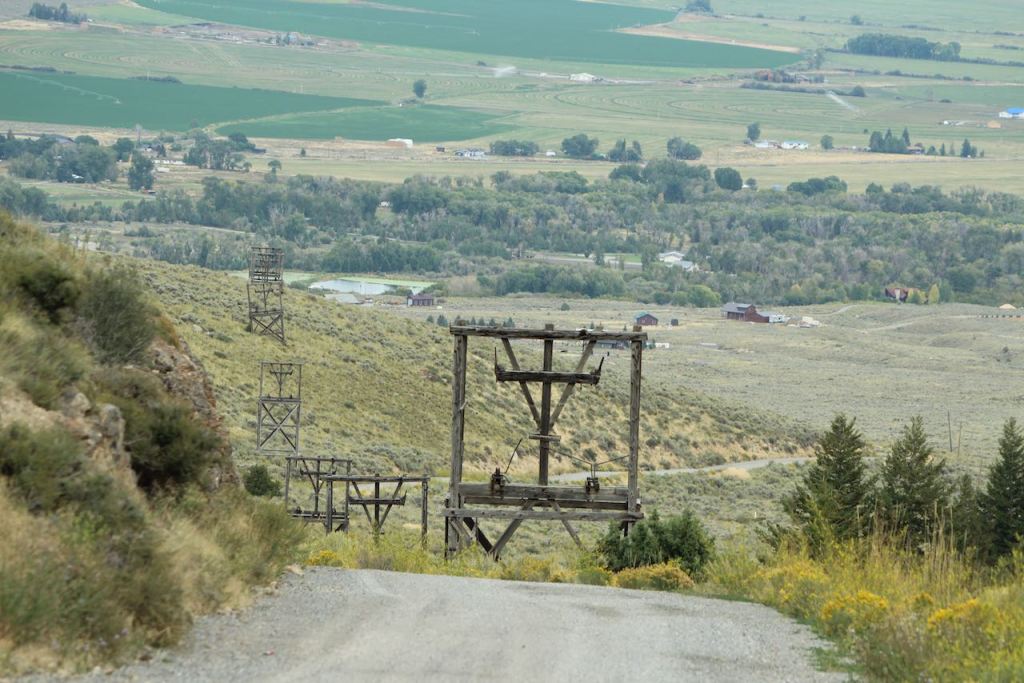
Another stop on the trail is the Aerial Tramway Tension Tower (left) and other Tramway towers further up the mountain. The Tramway was over 3 miles long, with a 6 mile long, 1.25 inch diameter fixed cable affixed to all the towers. The ore buckets dangled on their rollers from this cable, pulled or restrained by a 3/4″ traveling cable. It operated on gravity power; the loaded ore buckets going down to the smelter pulled the empty ones up. The Tension Tower had heavy weights that could be adjusted to keep the fixed cable from sagging, based on the load and temperature.


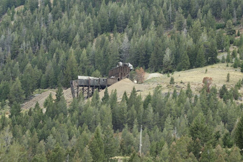
More old mining buildings along the trail. The lower left is the Taylor Family Home and Sawmill Site – the Taylor family ran a sawmill on the site from 1912 until 1927, and descendants of Haniel S Taylor lived on the site until 1943.


Views looking down the mountain

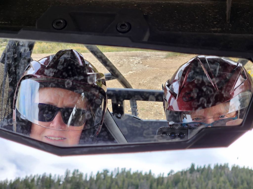
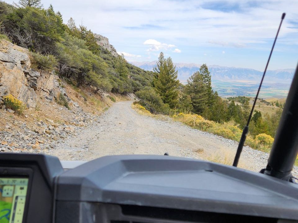

Trish and our ride, selfie in the mirror and views through the windshield – wait, there was no windshield. Here is a video of a flatter portion of the ride where I didn’t feel I needed to hold on: https://www.dropbox.com/scl/fi/5matfeq6o299vylelro87/2023-09-19-17.00.01.mov?rlkey=z2e93c62dj03754lefe13fxch&dl=0
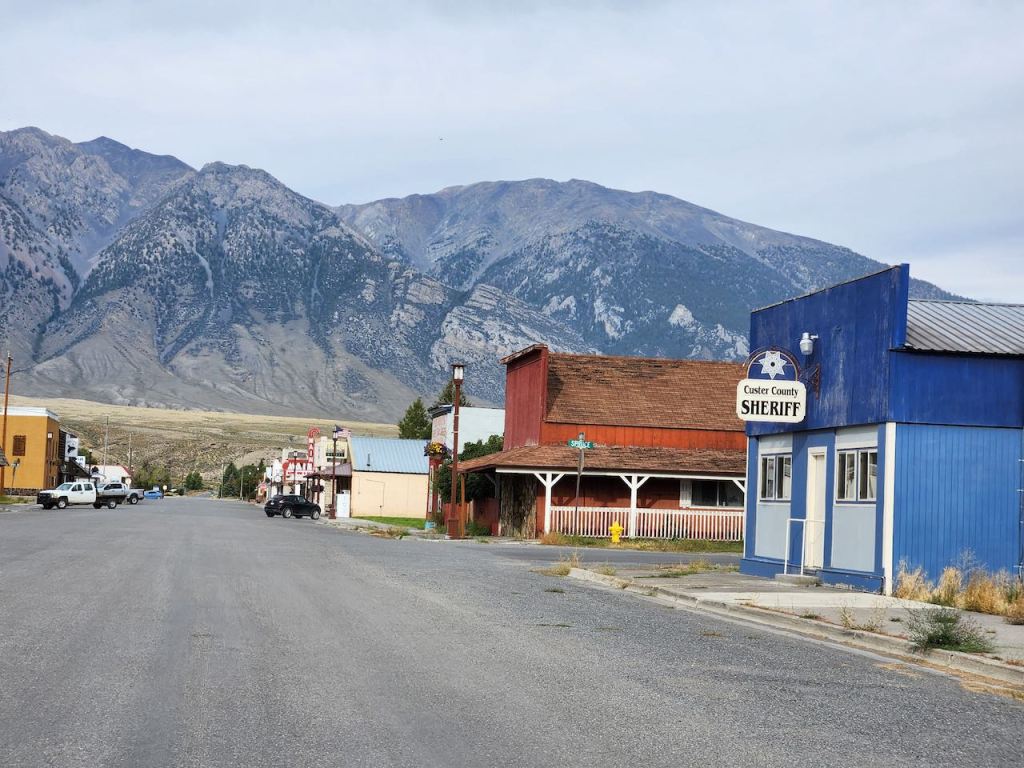

Driving through town in the RZR we spotted the Sheriff’s office and the Library, which was housed with the Mackay Women’s Club.

Without the RV maybe we could have stayed here.
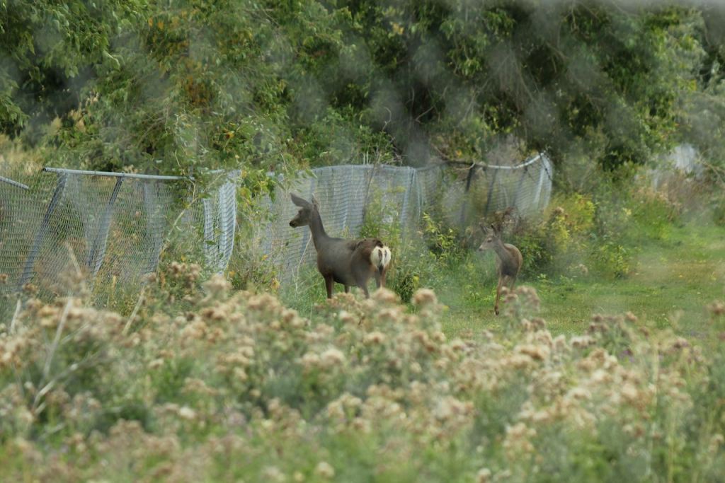

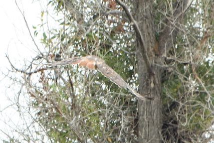
On the ride back to the RV we avoided the main road for about a mile and got to see some wildlife: these deer, a magpie on a haystack and a red tailed hawk.
But then we did have to get on the main road for about a quarter of a mile.
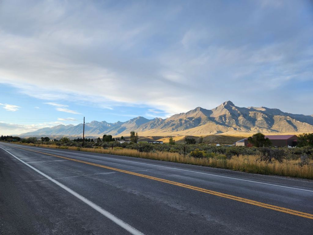

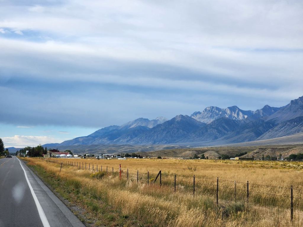
I walked to the road in front of the RV park and shot these photos of the mountains.


And I tried to capture the sunset, but it wasn’t that good.
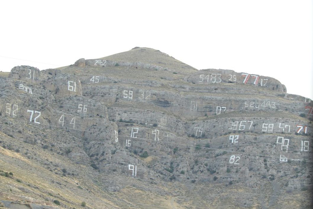
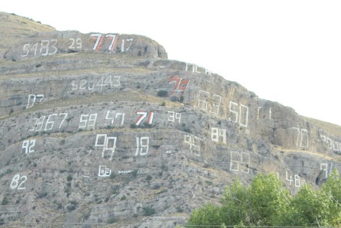
This is Numbers Hill in Arco, Idaho. It was started in 1920, when the high school graduating class decided to paint the year on the rocks. It’s been a tradition since then. The small original 20 can be seen in the right hand photo just under the much bigger 50.
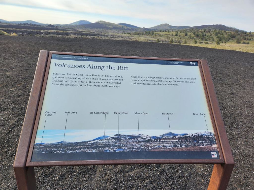
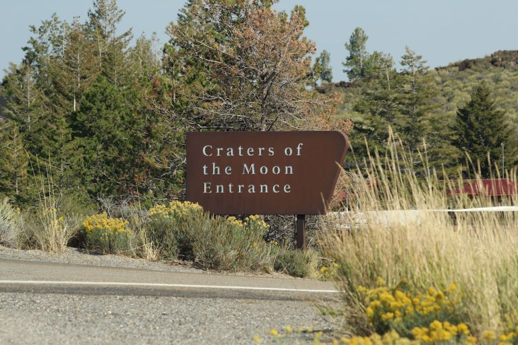
Our major stop on Wednesday, Sept 20 was Craters of the Moon National Monument. It is a lava field that was formed during eight major volcanic eruption periods over the past 15,000 years. This sign is from an overlook before you get into the memorial – but it gives you an idea of the vastness of the area. There are about 60 different lava flows and and 25 volcanic cones, with the last eruption being about 2100 years ago.


This is the Inferno Cone – the trail to the top is just under half a mile, but it is straight up, so we didn’t attempt it. That’s the trail and a false peak on the left. You can get a full feel for it in the picture on the right. If you blow that one up you can see some folks walking up the ridge. When we saw this view we were very happy to have passed on this hike.
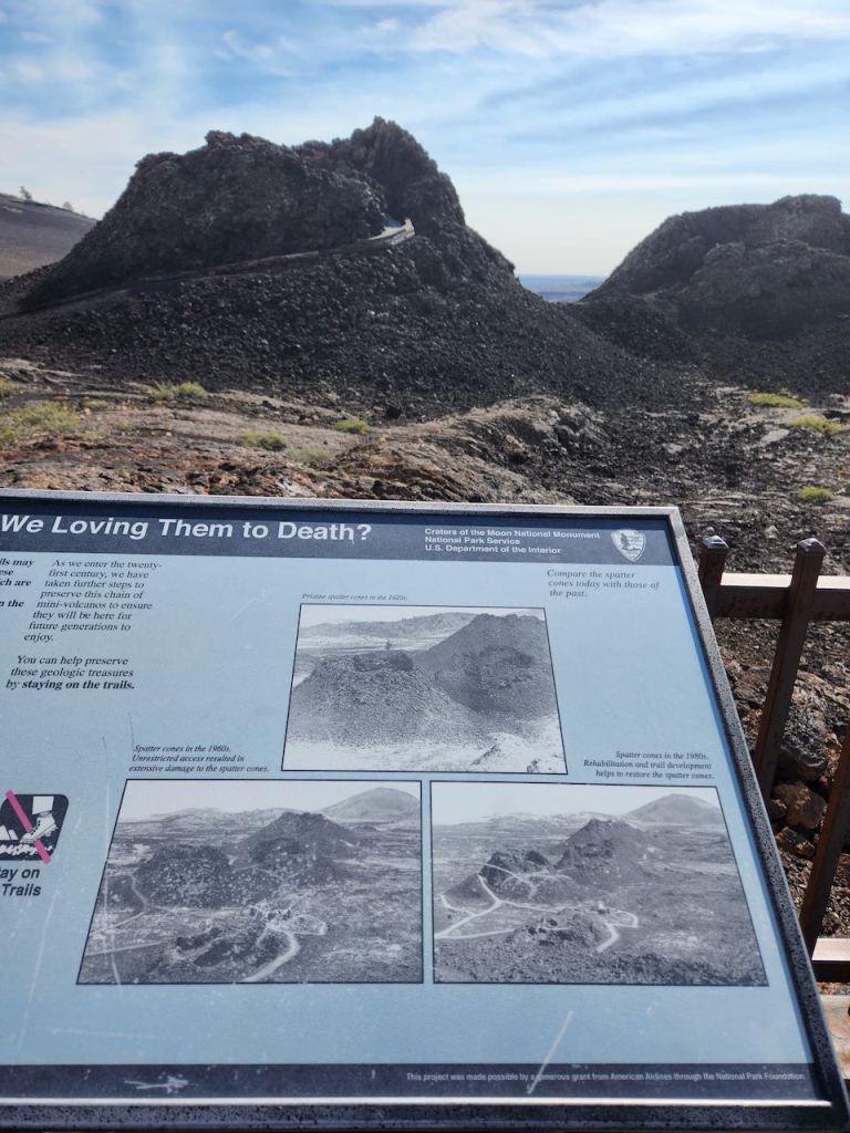
This is a spatter cone, which is formed as the last blobs of magma sputter out into the air at the end of an eruption. The pictures on the plaque show what this one looked like before people started to climb all over it.
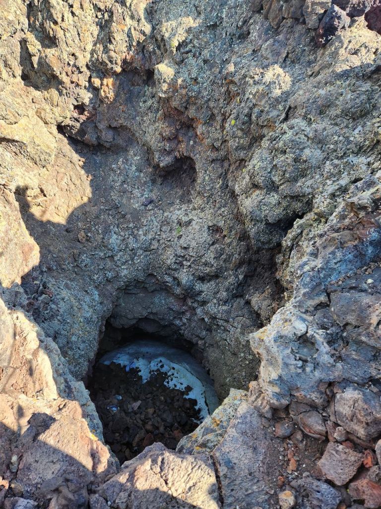
Looking down into the cone, and a close up of the blob spatters on the outside of the cone.
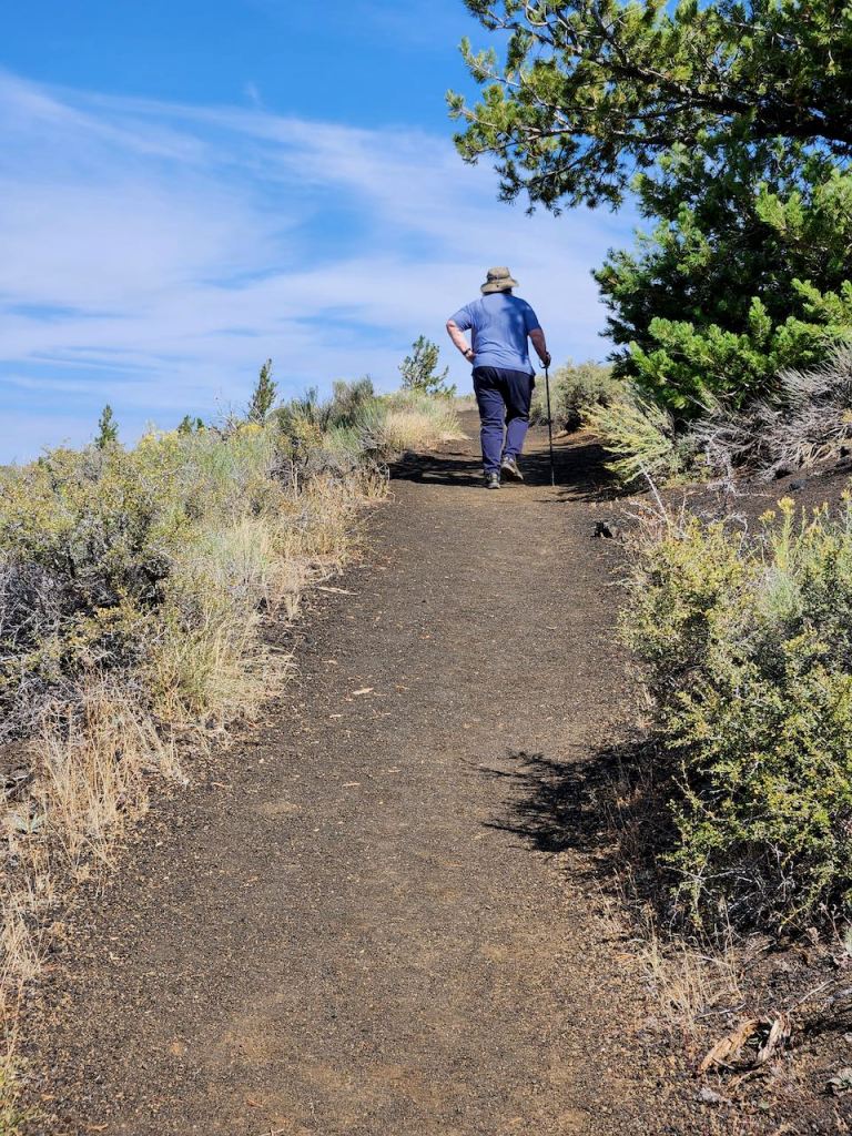
We did do the 1.8 mile Broken Top Loop Trail, which goes up and around Broken Top, which is one of the cinder cones formed about 2,100 years ago. We did have to go up some, but not like the Inferno Cone.

Selfie on Broken Top Trail and me picking my way across the lava field.
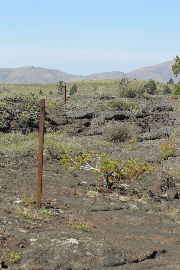
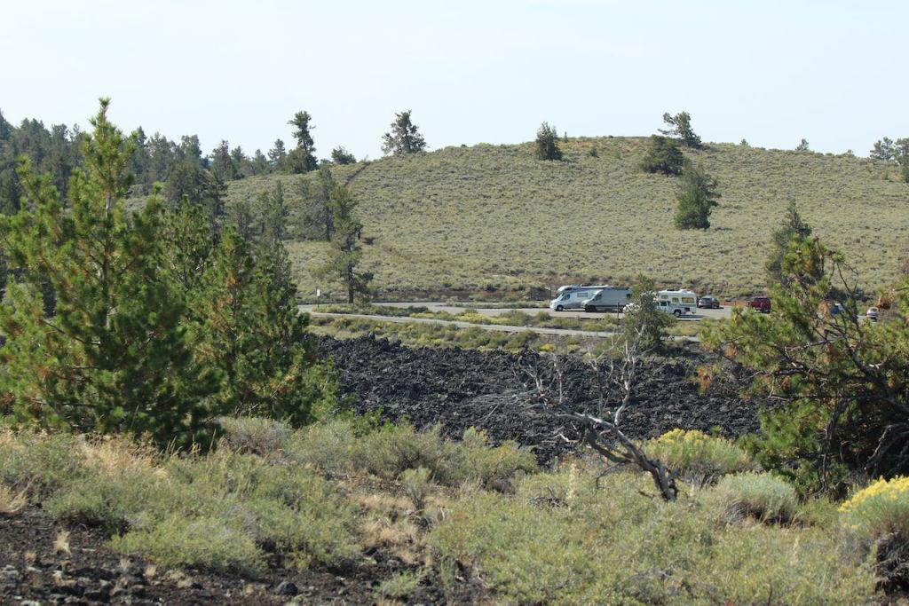
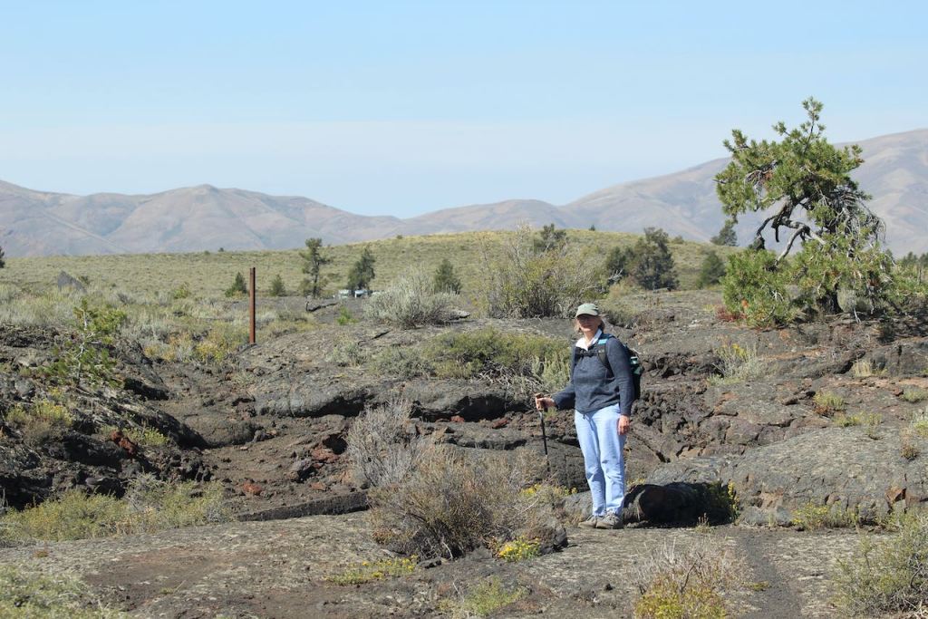
The posts marked the trail across the lava field – we needed them. That’s our RV in the parking lot across the lava field.

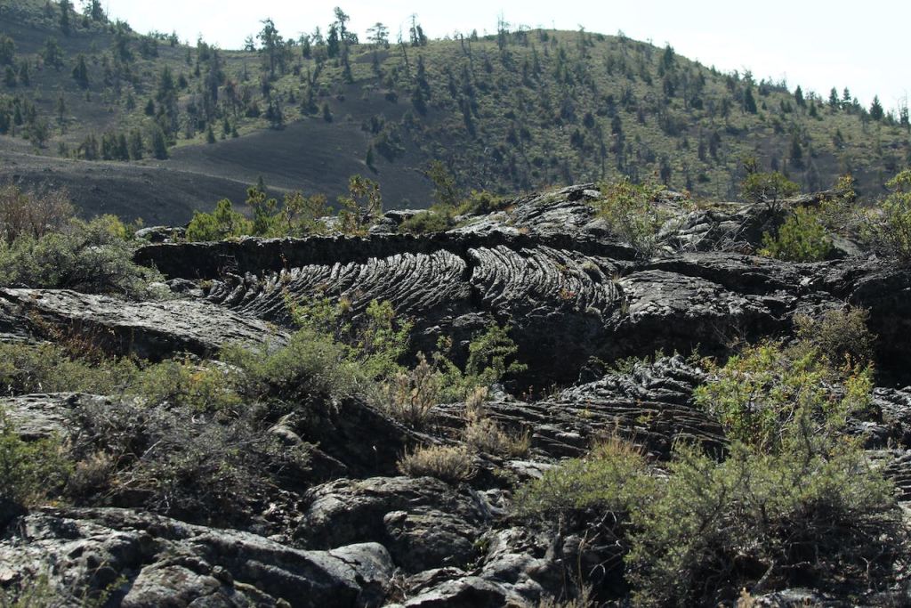
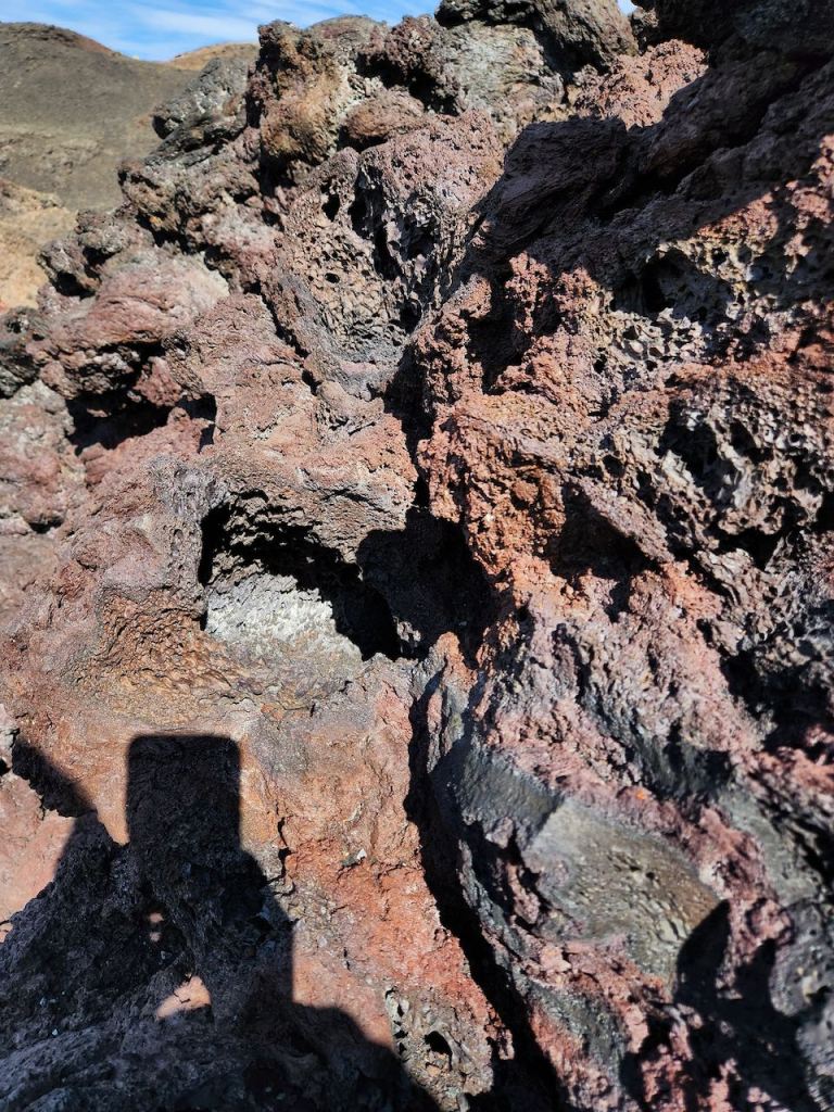
Different views of the lava field – the type on the right is called rope lava.
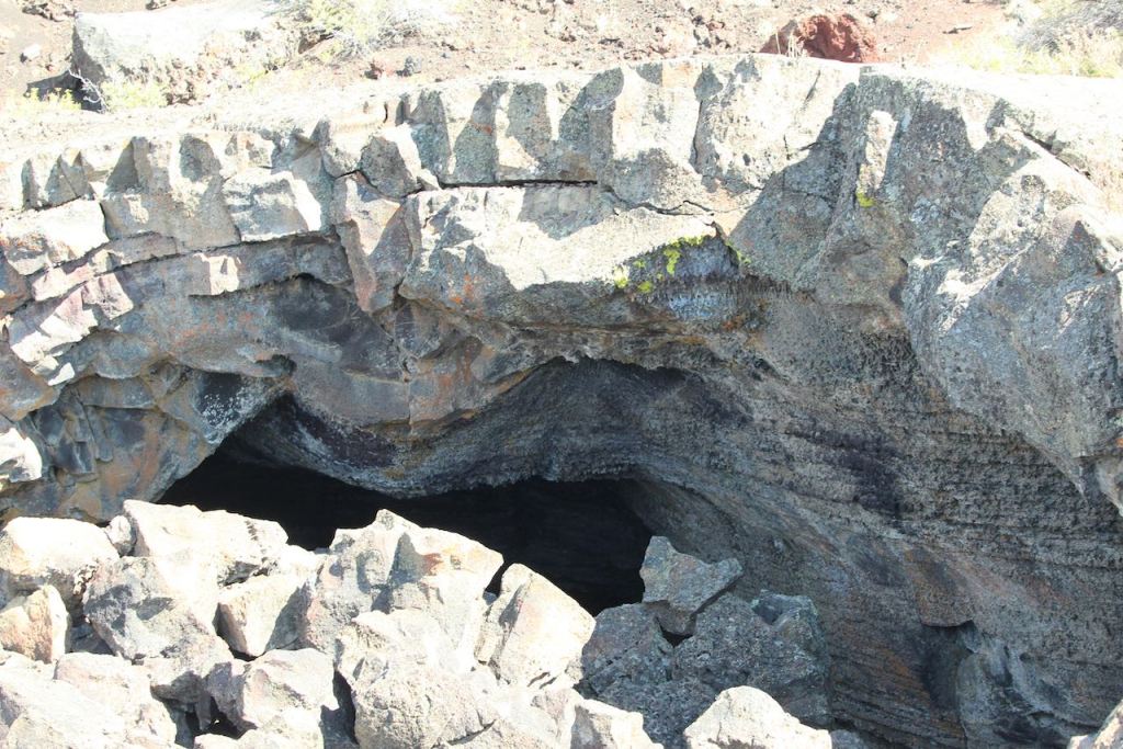
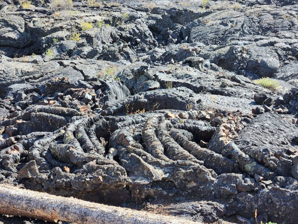
There are caves you can explore here – we didn’t! They are called lava tubes and are formed when crusts of cooling lava develop over rivers of hot, flowing lava. The lava river beneath becomes insulated from the cooling air keeping the interior lava hot enough to flow forward. Later, the river of lava drains out from beneath the crust, leaving behind the lava tube. Close-up of the rope lava on the right.
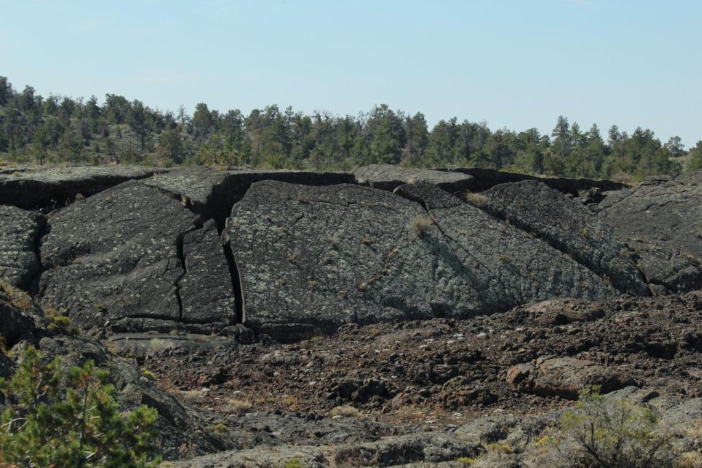
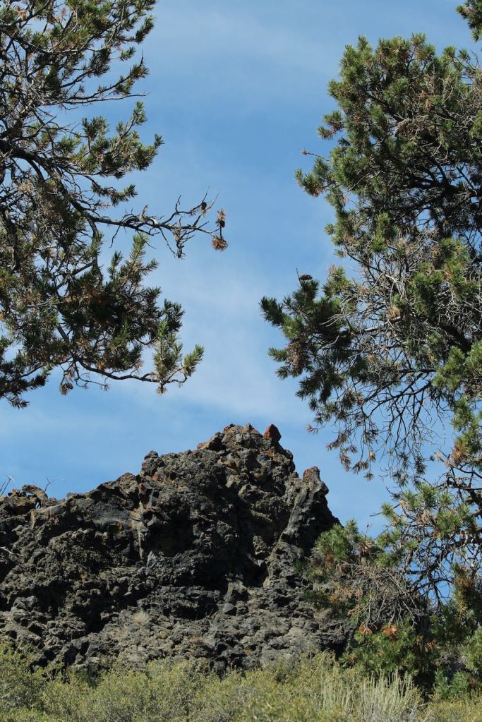
More cool structures on the lava field.
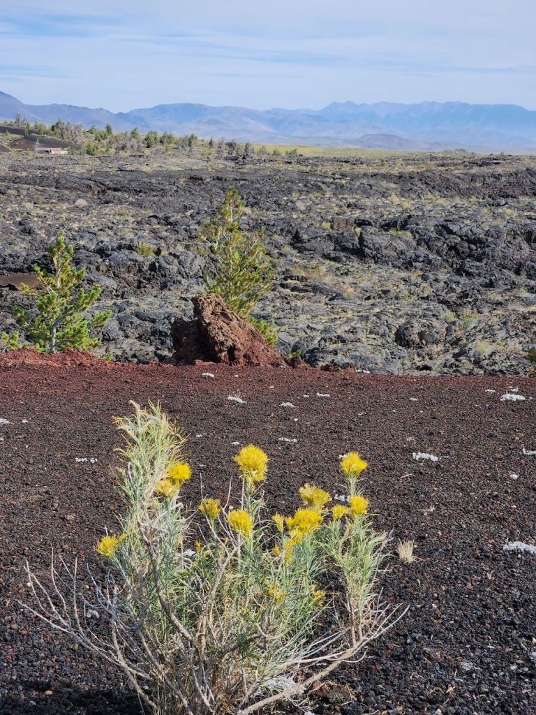

There were wildflowers growing on the lava field and a jet flying overhead.

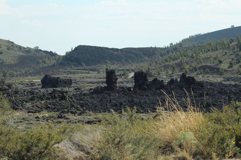
Snapped these last few pictures as we were leaving the park. Once again, a place where pictures don’t do it justice. Then it was on to Twin Falls, Idaho.
We did a little shopping on Thursday morning as we needed to pick up some prescription meds for me and DEF for the RV. (DEF is additive for the diesel engine.) Then we went to the Twin Falls Visitor Center.
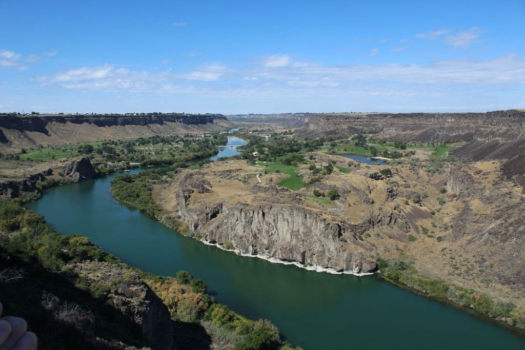

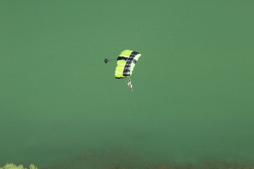
The visitor center overlooks the Snake River and the Perrine Bridge. It is one of the only places in the US that people can BASE jump without special permits. We were lucky enough to see a few jumps.
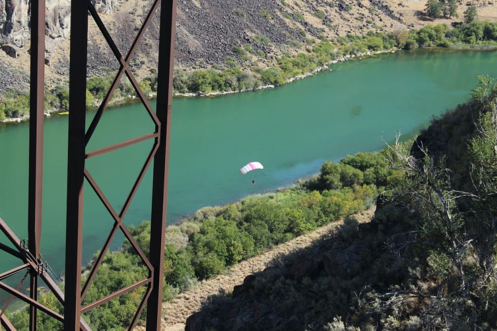
Here is the first one we saw floating down.
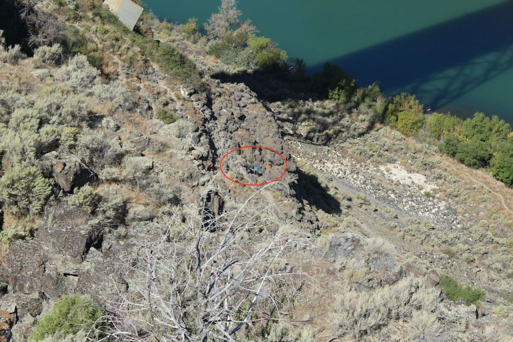
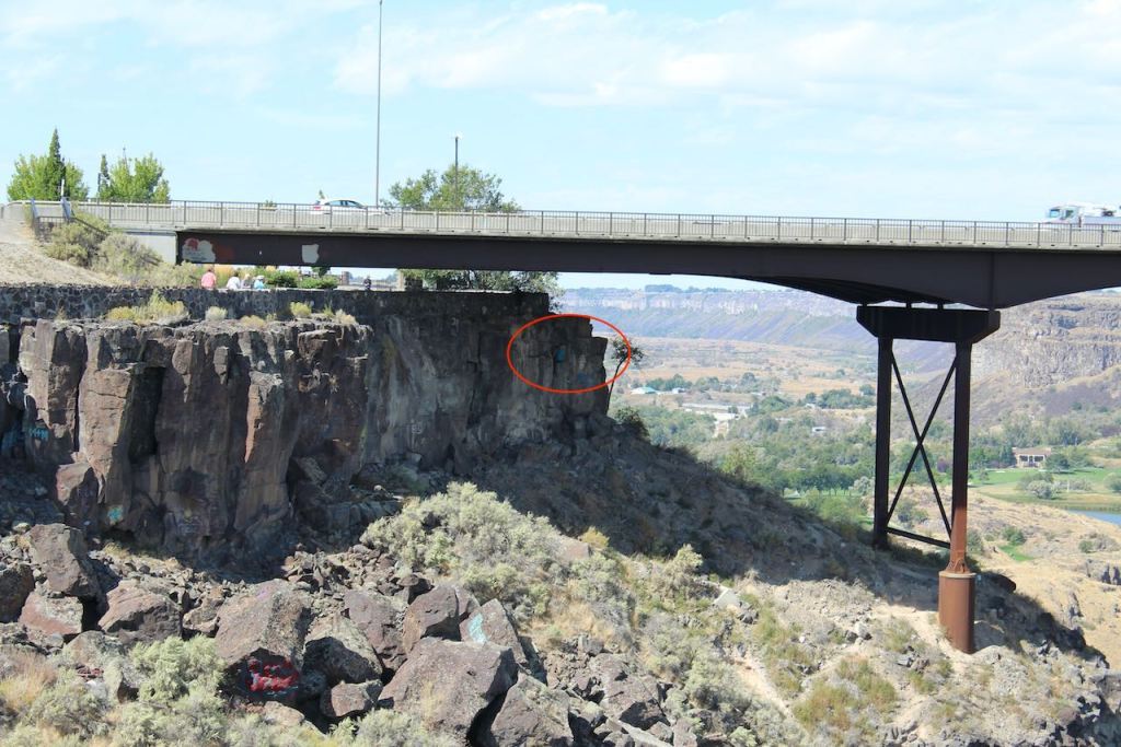
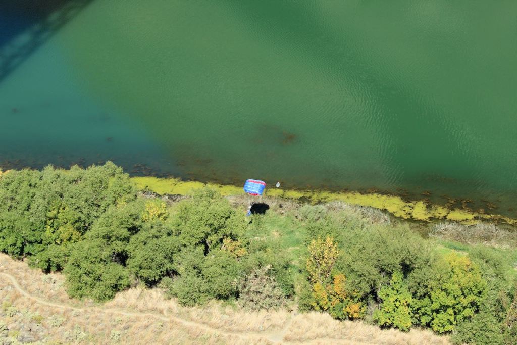
Not only couldn’t I imagine the jump (and I have sky dived), it’s the getting back up that would be an issue. Take a close look, I have circled them climbing back up to the top – no way could I do that.
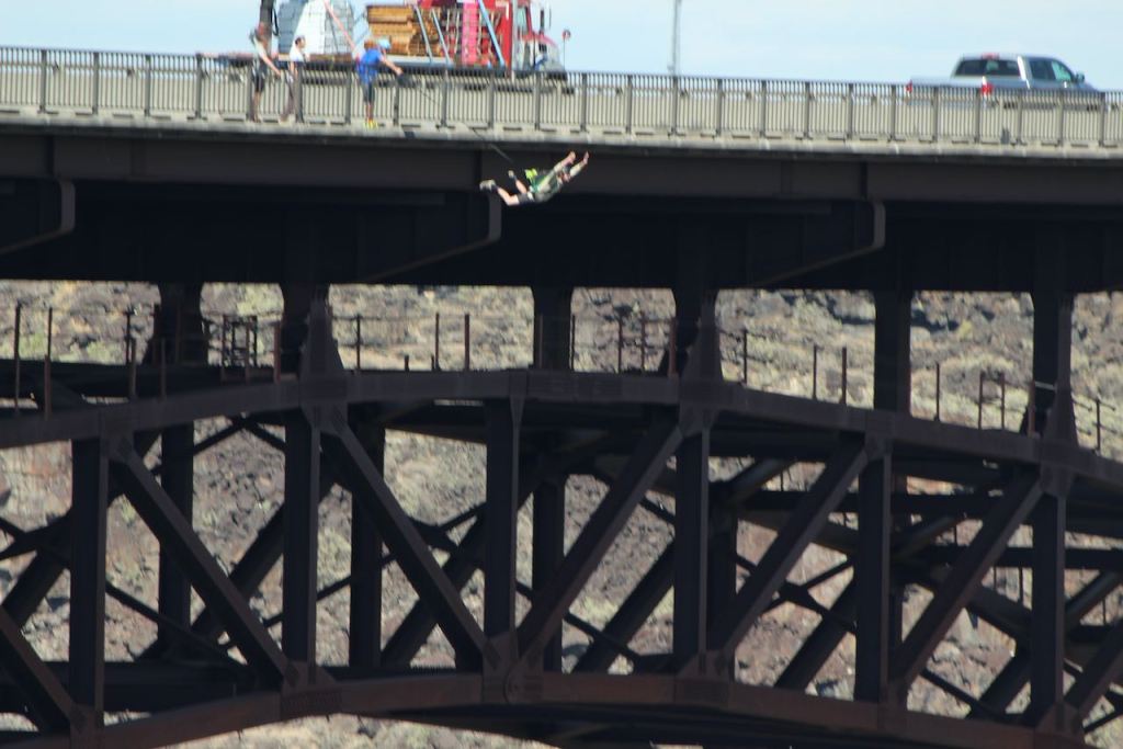
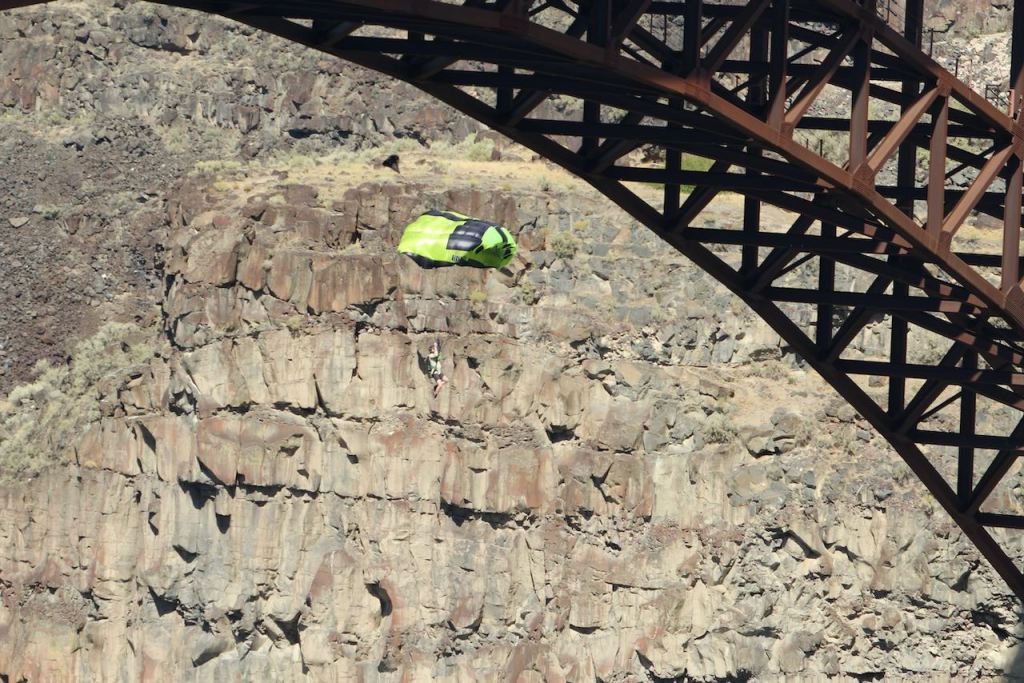

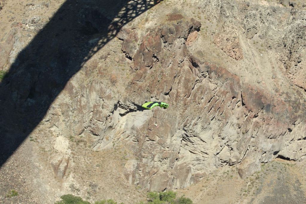

Here is a full sequence on another jump – and looks like a perfect landing in the target area. Here is a video too: https://www.dropbox.com/scl/fi/5n1k7ungsqb9zbsyc0s3u/IMG_5788.MOV?rlkey=l4m3b3e08hwiruod2suky30hi&dl=0

This guy wasn’t as close to the target landing area.
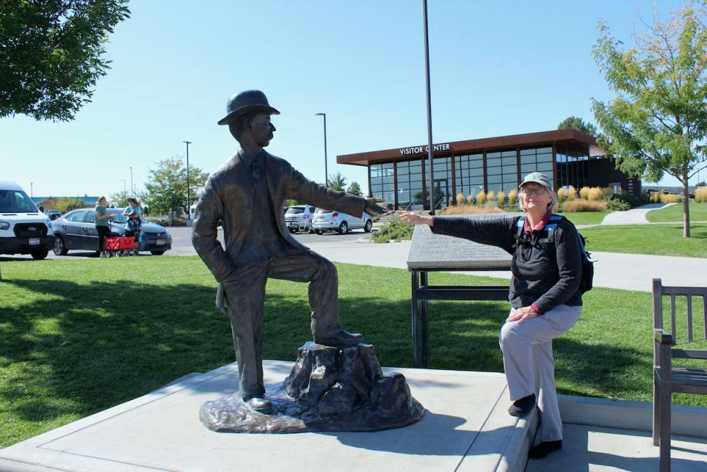
No bench, but I interacted with I. B. Perrine anyway. He was one of the original settlers in the area, developing the irrigation from the Snake River and is credited as the founder of Twin Falls.


After lunch back at the RV, we went to see the Shoshone waterfall. What we saw was this little stream running down the mountainside, but because of the season, there was next to no water running over the falls.


If we were here in the spring, we might have seen something like on the right. The call this the Niagara of the West, but if it doesn’t run all the time, I don’t think it’s an apt name.

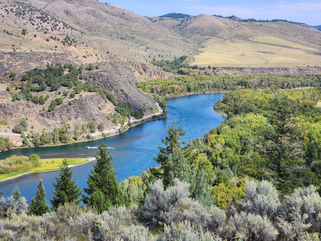
Some views of the Snake River. On the left is above the falls/dam and on the right is below the falls.


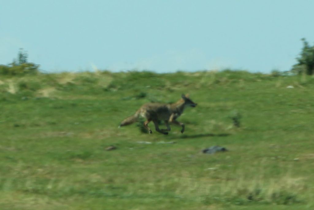
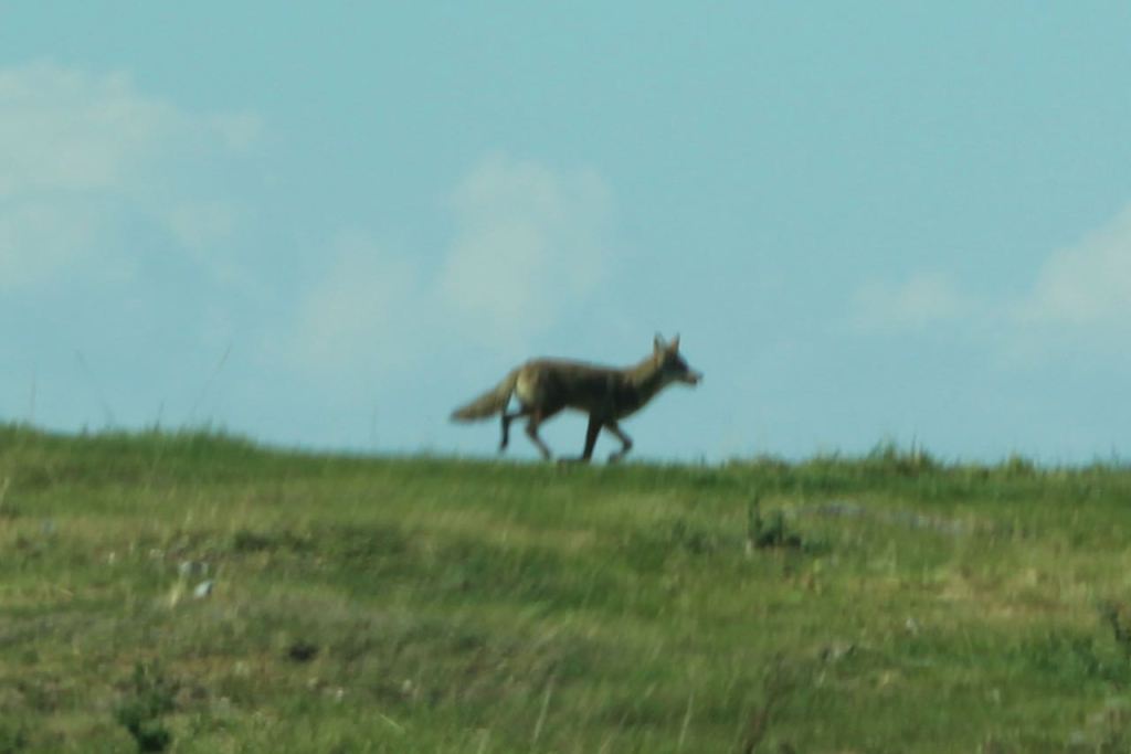
To get to our next stop, we needed to walk by a big field – I spotted this coyote running through the field.
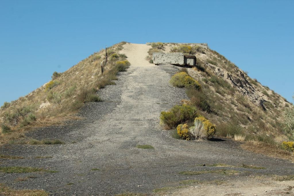
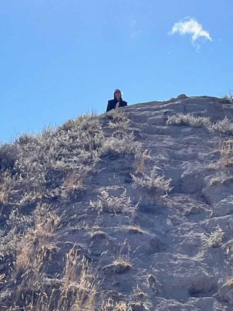

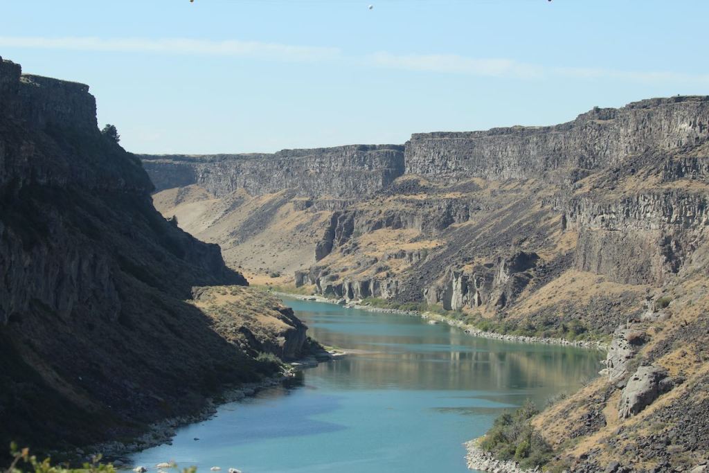
We were headed to the Evel Knievel Jump Site. This is the ramp that he used for his attempt to jump over the Snake River Canyon on September 8, 1974. He didn’t make it as his parachute deployed early. He didn’t even make it partway across the river. I walked up to the top and Trish caught this photo of me and I got this photo of the canyon he was trying to cross on a motorcycle.
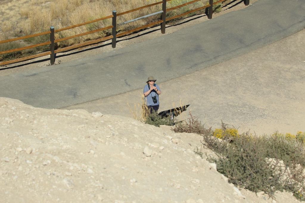
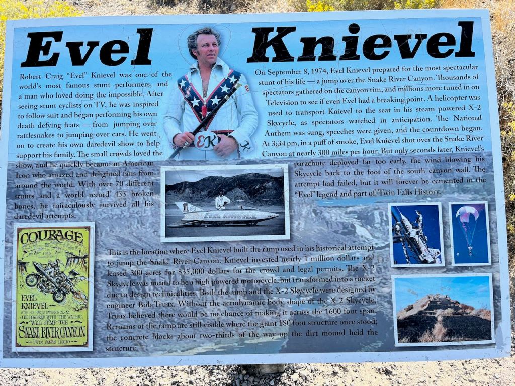
That’s Trish down below, and the full story of the flight. If you look closely at the placard, you can see that it was a rocket powered motorcycle.
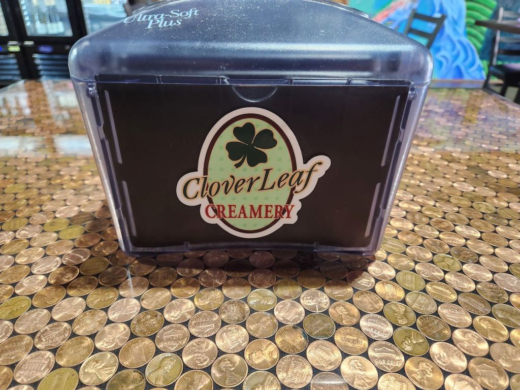
We had some great ice cream from the Clover Leaf Creamery.
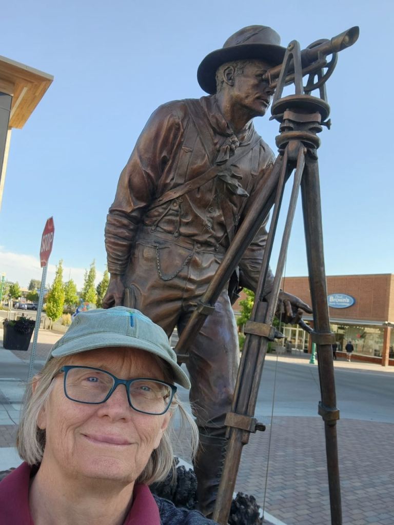
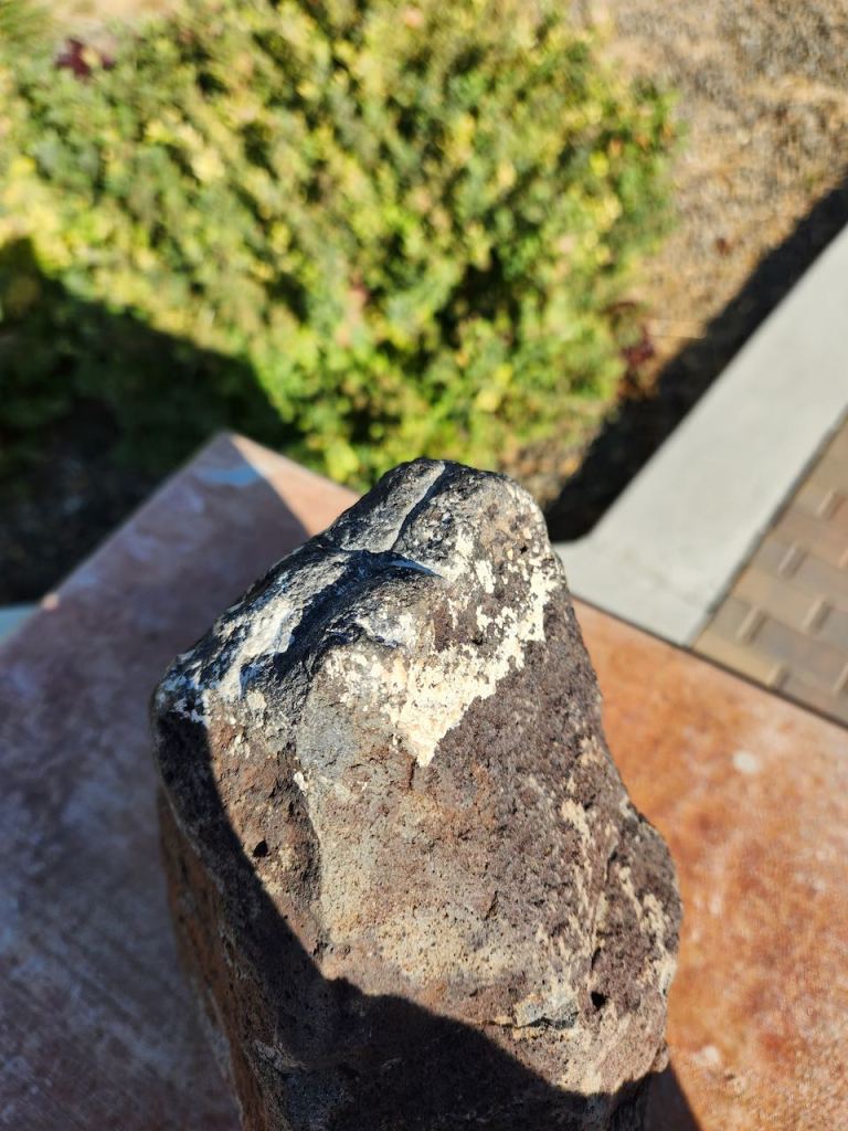
We had found a brochure on public art in Twin Falls, so we went searching for some. This is a statue of surveyor John E. Hayes, who in April 1904 did the very first survey of what would become the City of Twin Falls. The plaque on the statue says it represents Hayes and the “spirit of his era – looking beyond the lava rock and sagebrush, envisioning a dynamic and prosperous community.” And that stone is one of his original survey markers.

A series of murals on one of the buildings downtown.
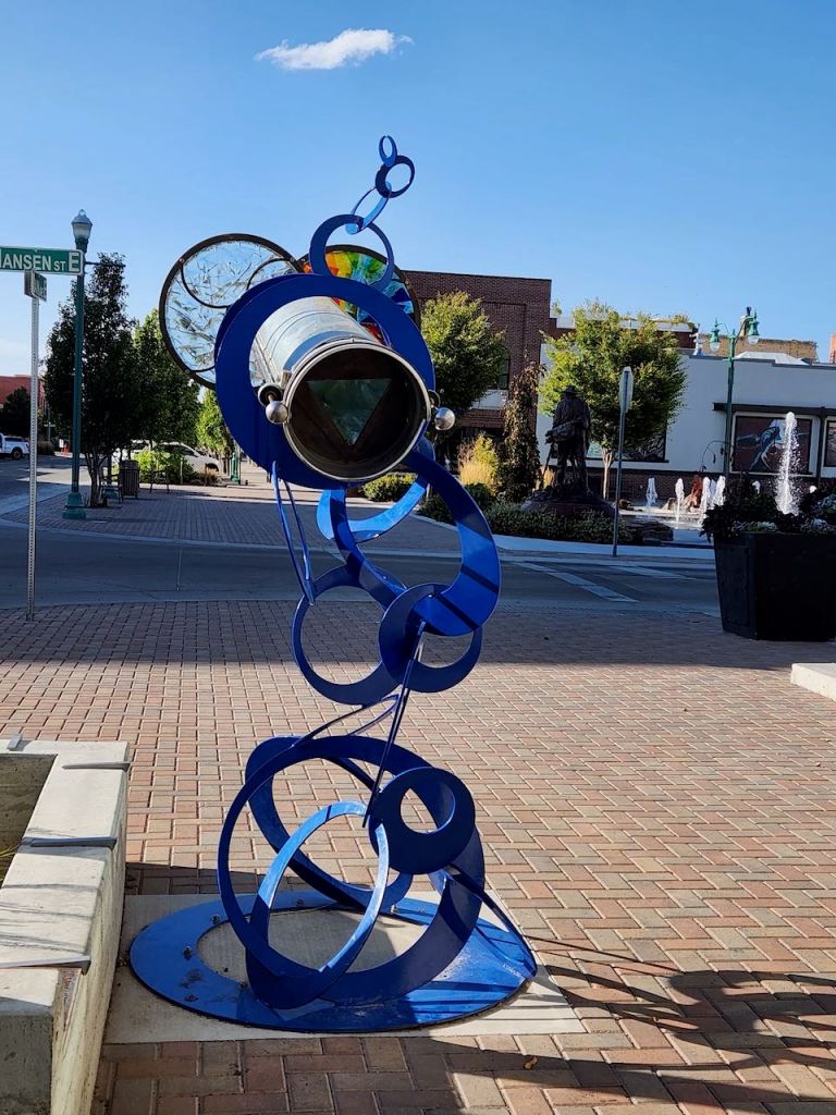
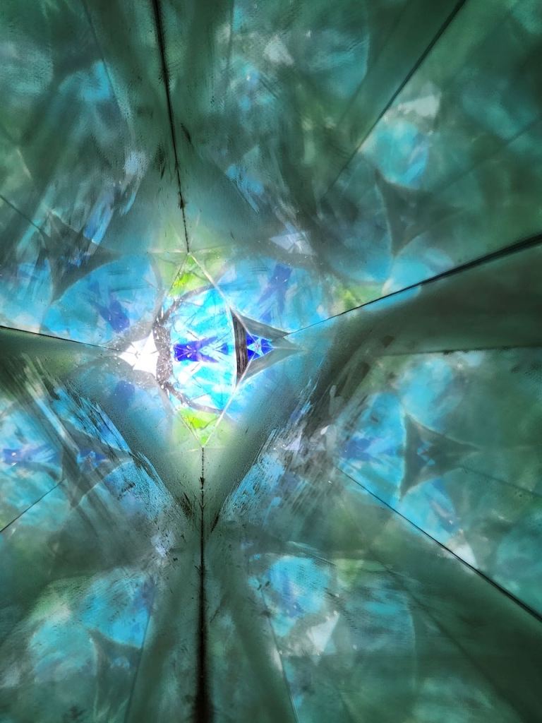

Those who know me well won’t be surprised that this would be my favorite piece – an over sized kaleidoscope. Here is a video that I took as I moved it around: https://www.dropbox.com/scl/fi/othn9fpiu7legzj39shar/2023-09-21-17.14.30.mov?rlkey=jat1vvt75atwxr32eccftsueu&dl=0
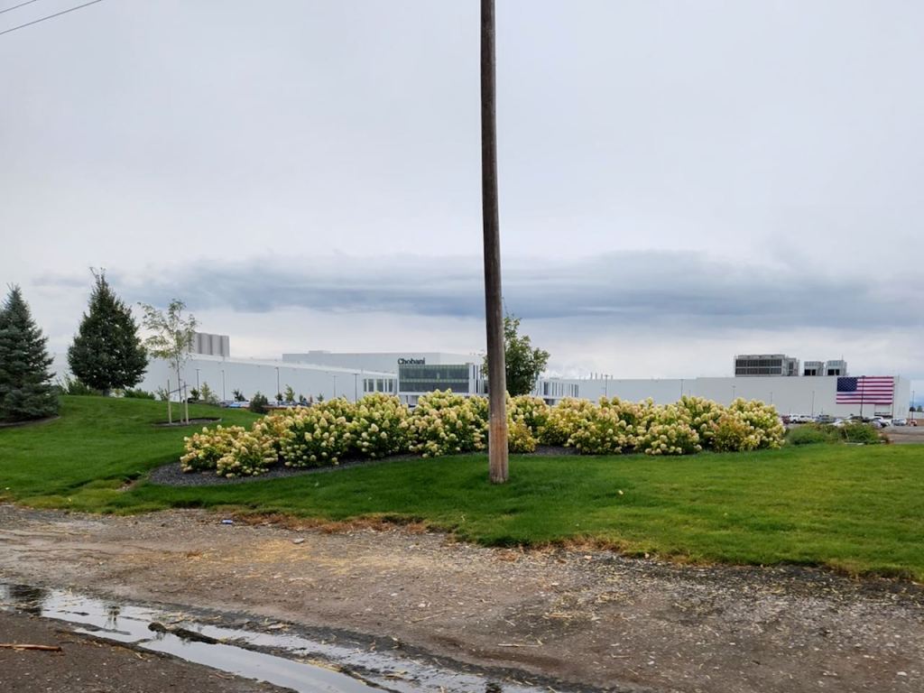
As we were driving out of Twin Falls on Friday, September 22 I had to take this picture for my niece who works for Parmalat in Australia – one of their main products is yogurt. Not sure if you can read the sign on the side of the building, but it says Chobani. When I looked up about the plant, I discovered it is the largest yogurt manufacturing plant in the world. Mia is not interested in moving to Idaho to work there.
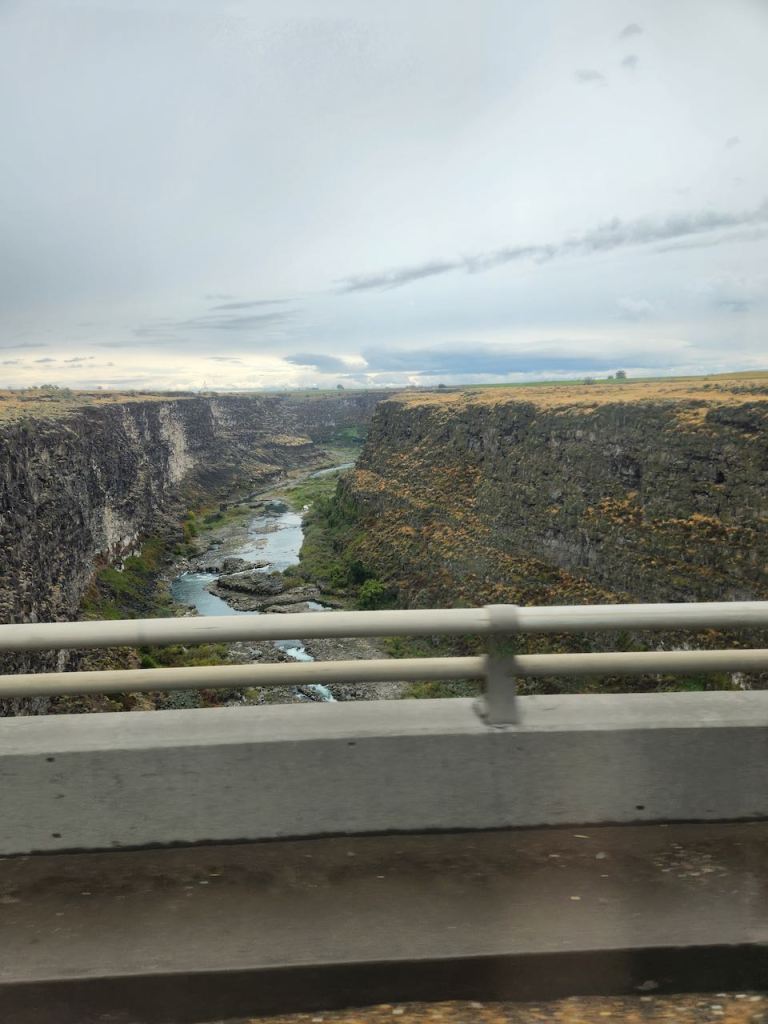
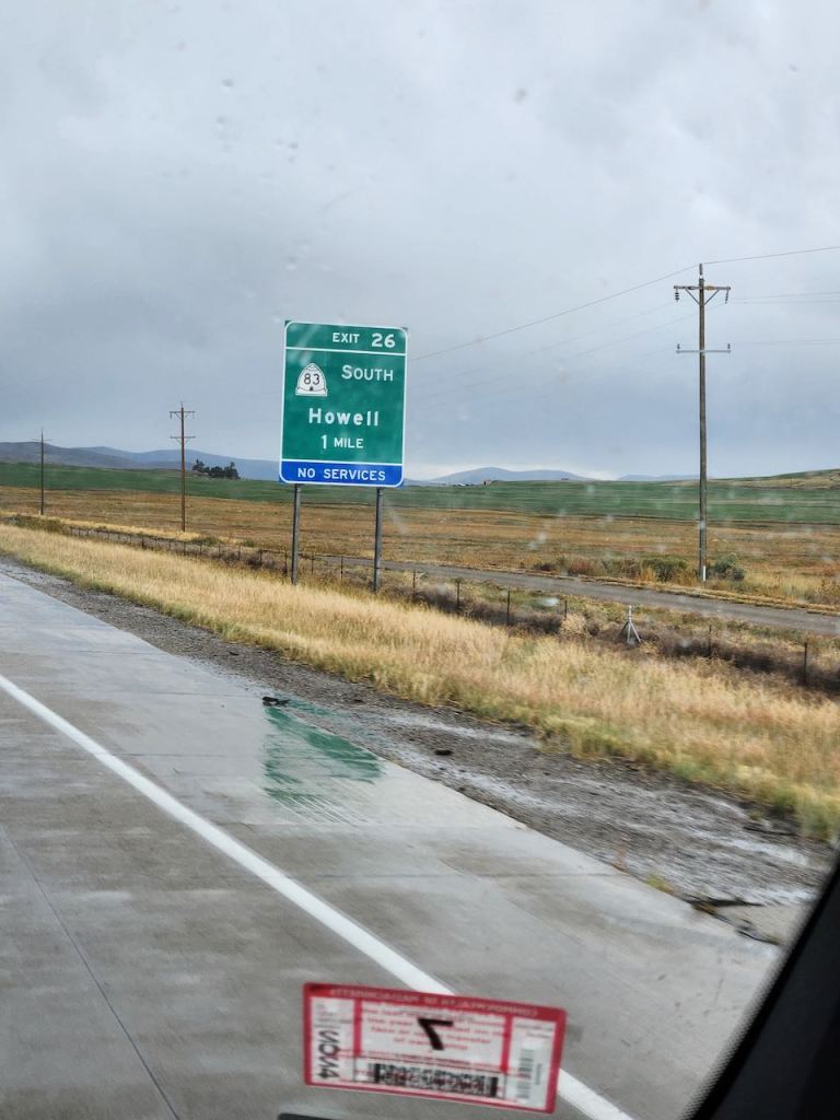
Another view of the Snake River Canyon. And I was a bit surprised by how many exits off I84 said “No Services.” Good thing we fueled up before we got out of town.

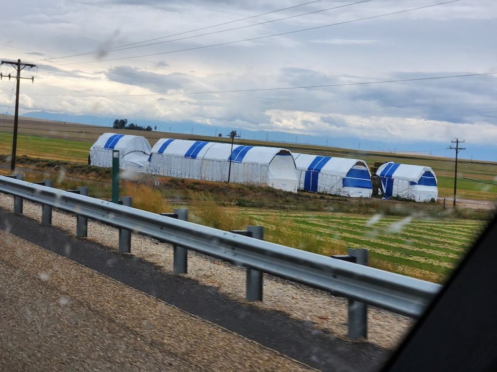

Southern Idaho is farming country and the GPS attests to it with these crop circles from the center pivot irrigation process. I think there are hay bales under those blue and white structures, but I don’t know what they are hiding under the white tire-like things.
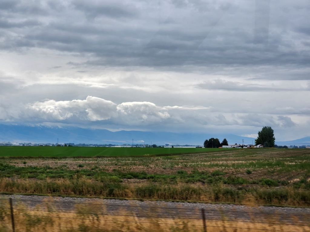
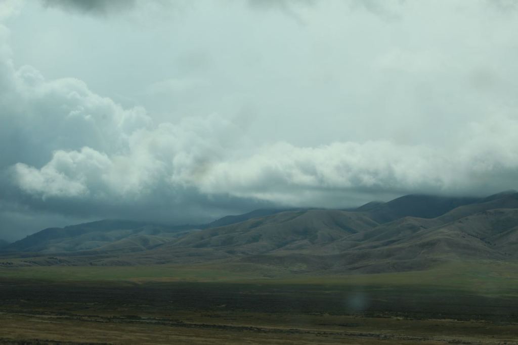
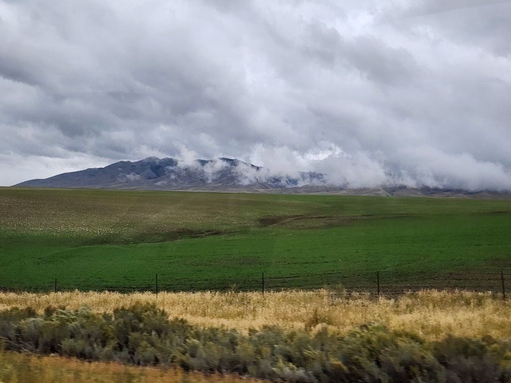
It was an on and off cloudy day as we were driving out of Idaho to Utah, made for some decent cloud photos.
Next update will be our Salt Lake City weekend.
Until then, safe travels.

Leave a reply to C. Baker Cancel reply