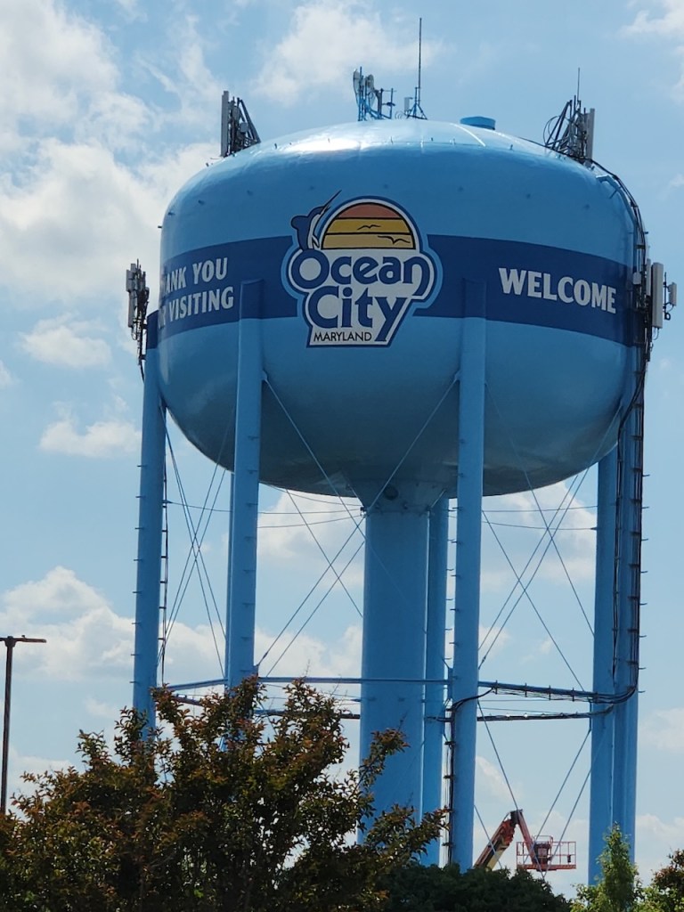
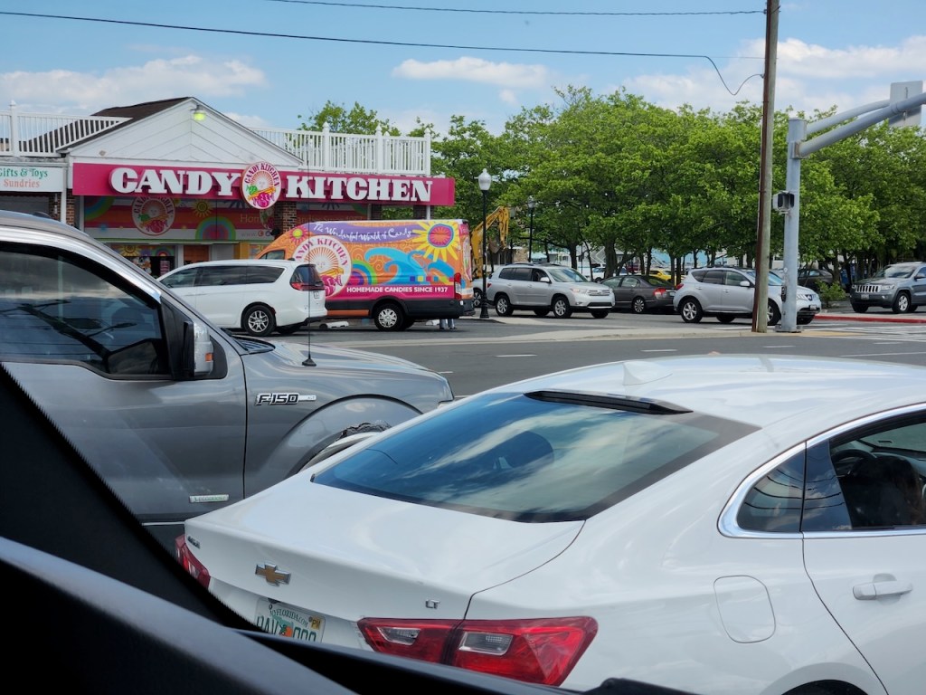
When you last heard from me, we had dropped off the car in Rehoboth Beach, and were heading south. Well, the first big place you get to is Ocean City, MD (not to be confused with Ocean City, NJ.) We only drove through on the main road, but this is a big place. I think we saw 50 miniature golf courses and almost as many Candy Kitchens and Sunsations, as well as plenty of big hotels/condos.


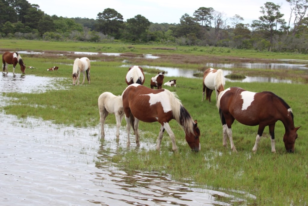
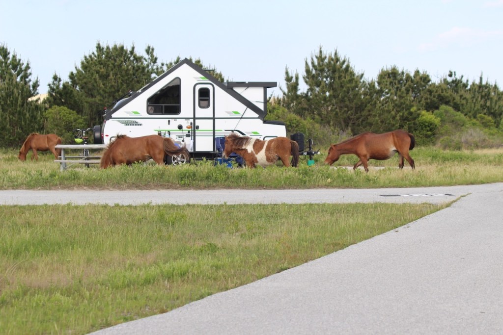
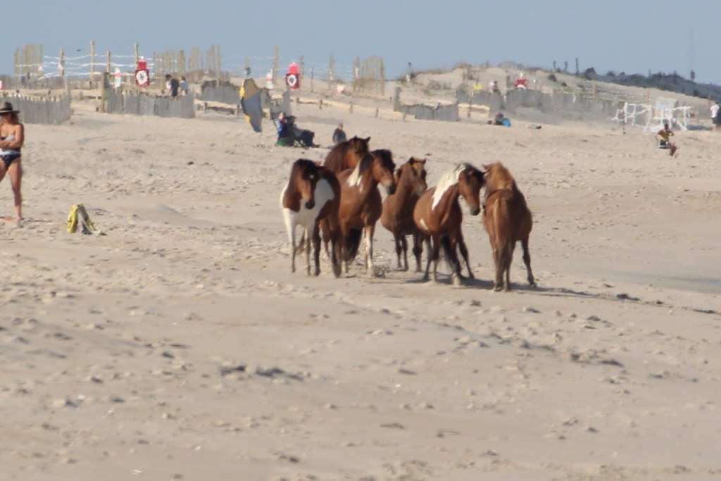
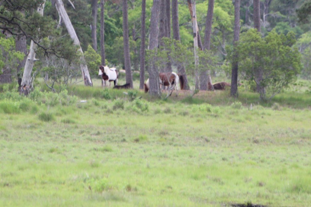
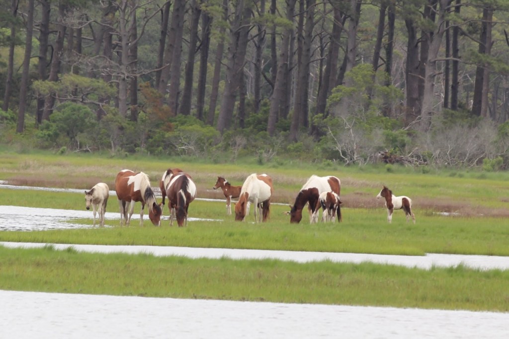
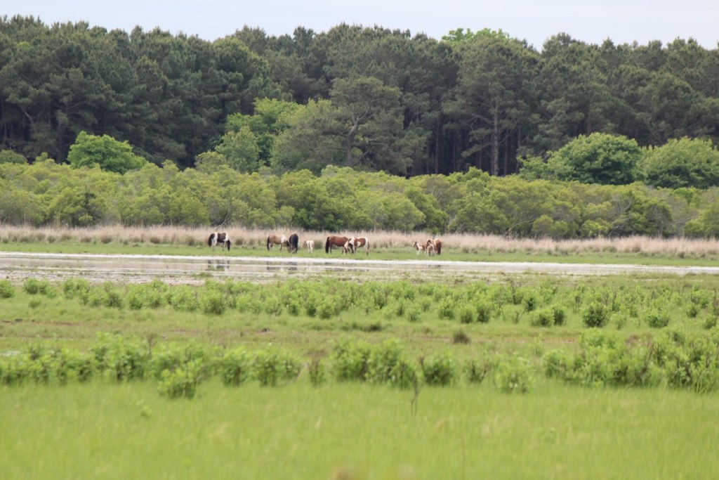
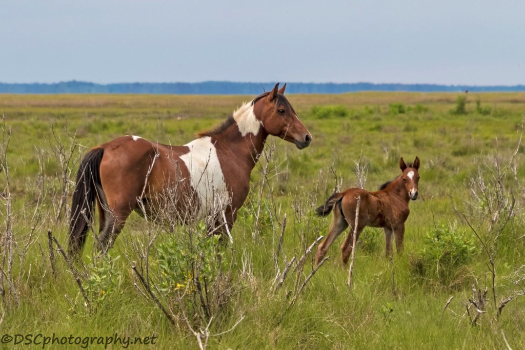
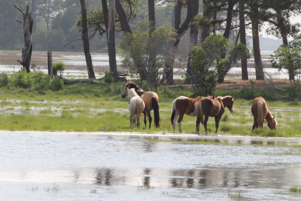
We arrived at Assateague Island State park late in the afternoon on Monday, May 19. As we were driving into the park, we saw several bands of horses.
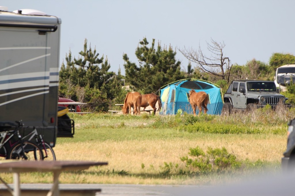

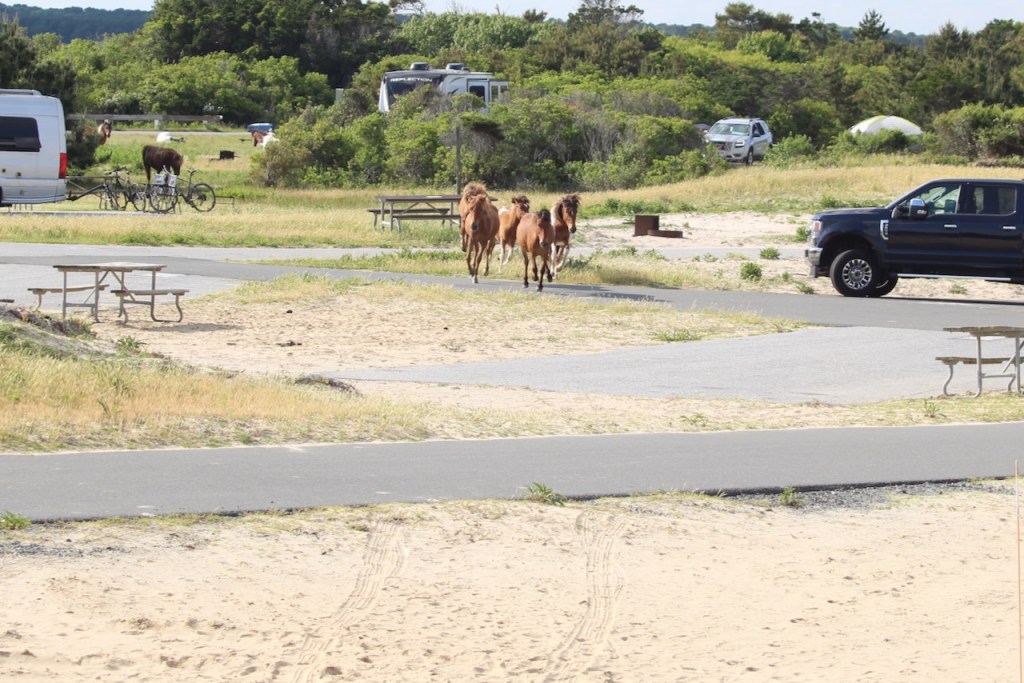
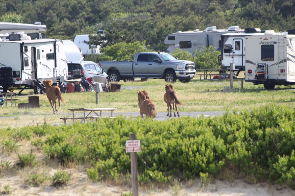
This band made a dash right through the campground.

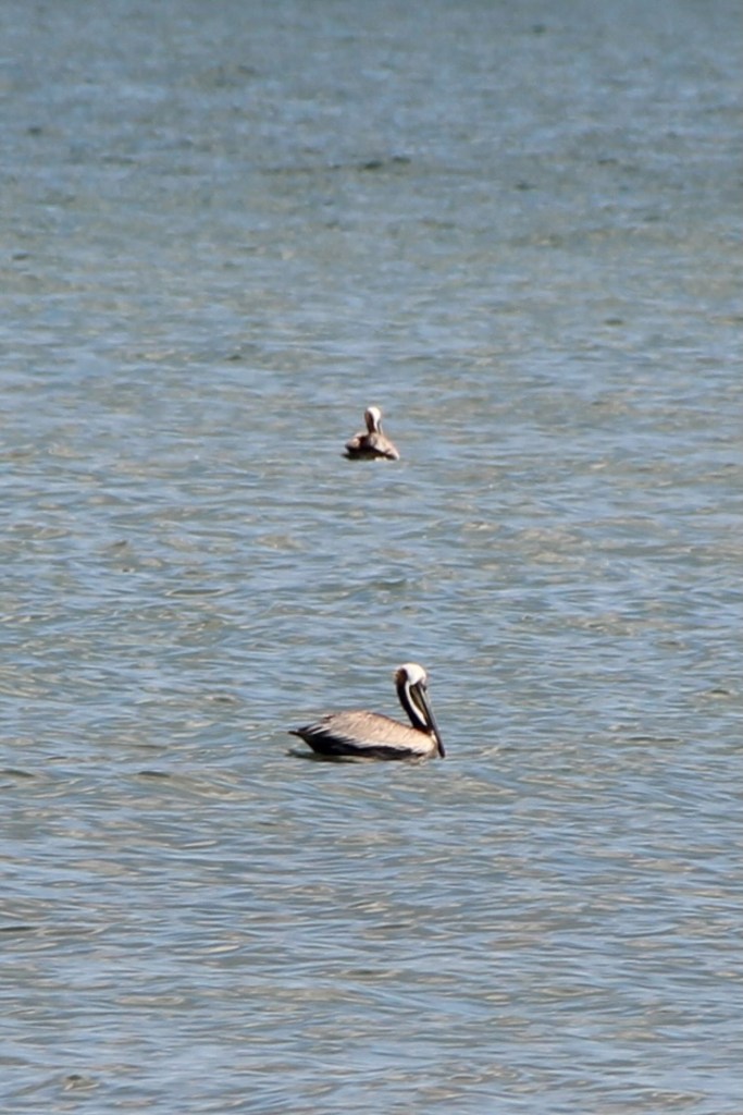
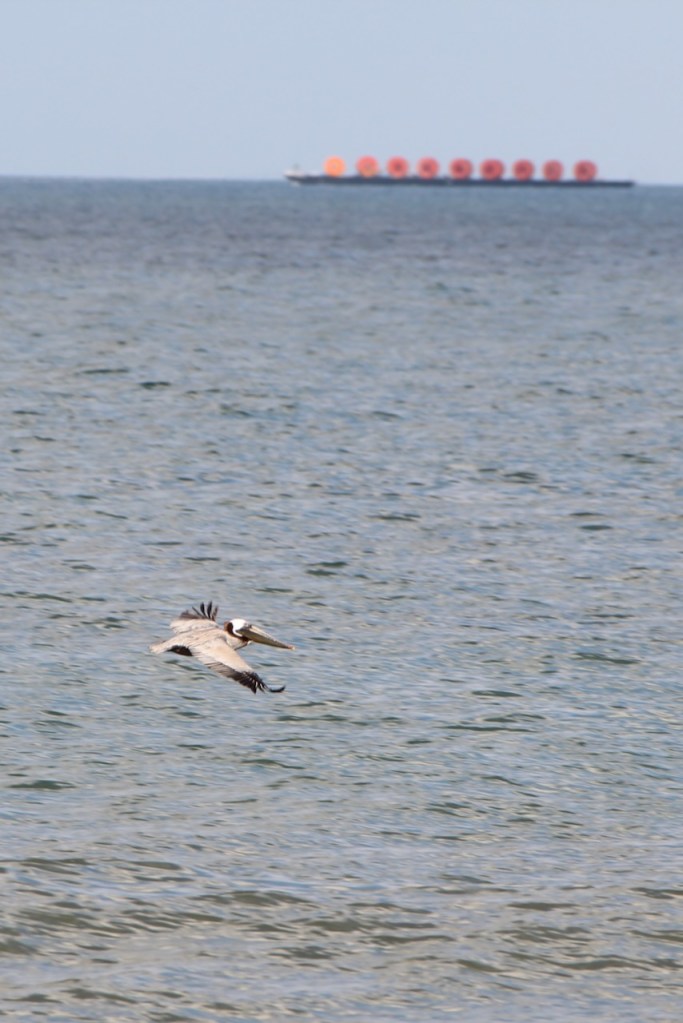
We walked over the dune to the beach, and saw a few shore birds and the first pelicans of our trip. We couldn’t figure out what was on that barge – any ideas?


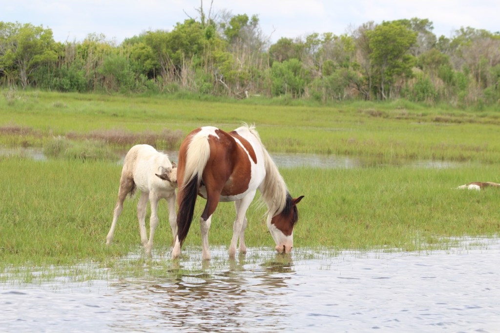
There were horses on the beach too.


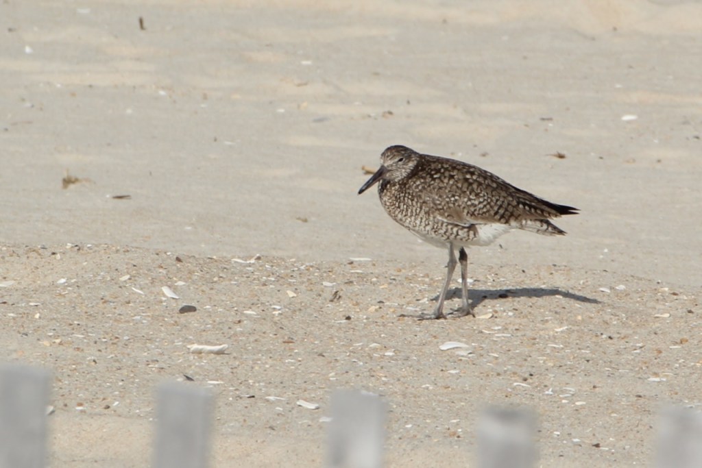
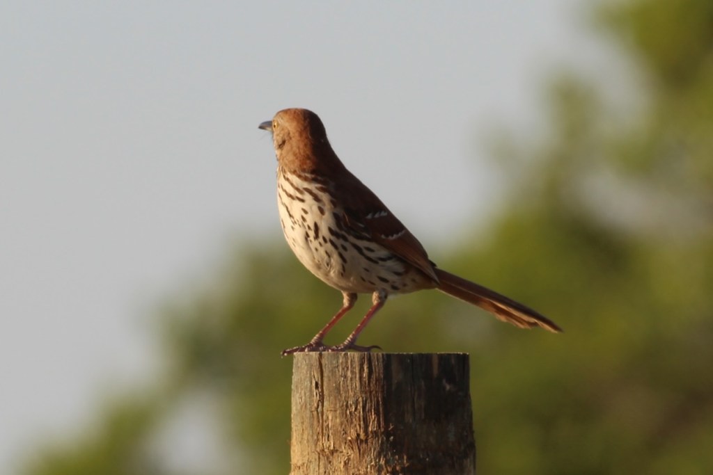
Back at the campsite, I sat outside for a while, and these guys came to visit on the fence post behind the RV – a brown thrasher and a willet.

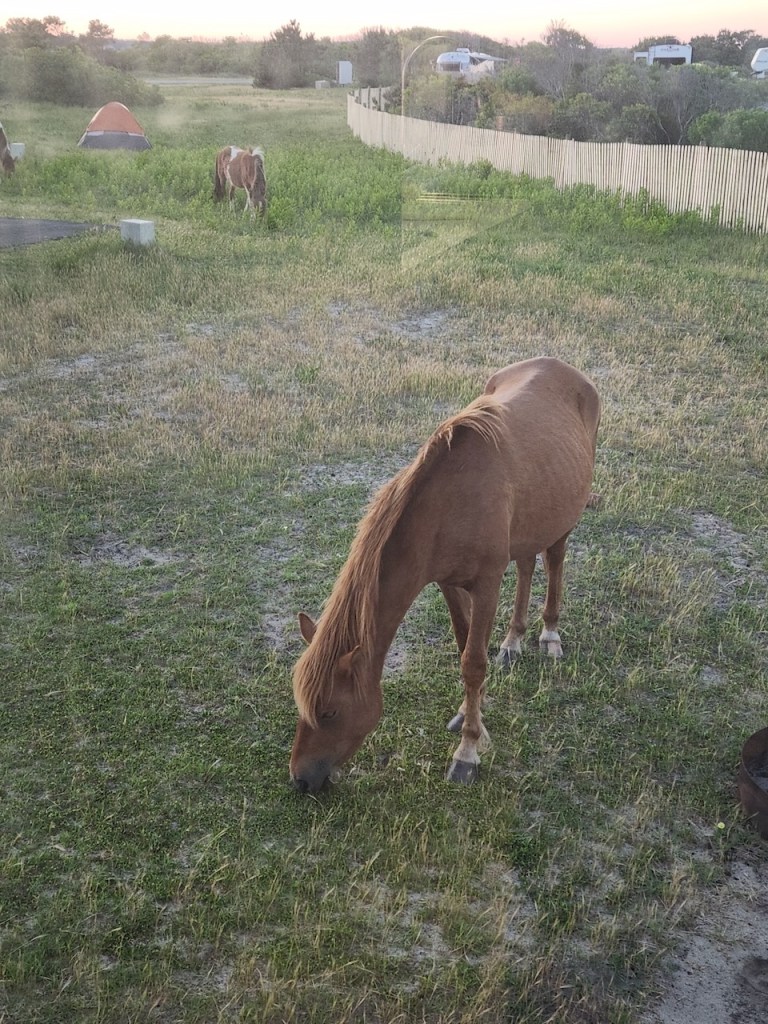
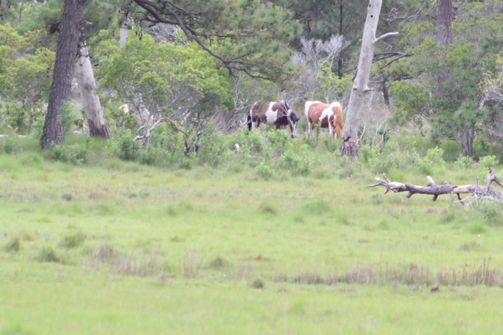
While Trish was making dinner we realized the horses were right with us – all these photos are through the window or on the step of our rig.


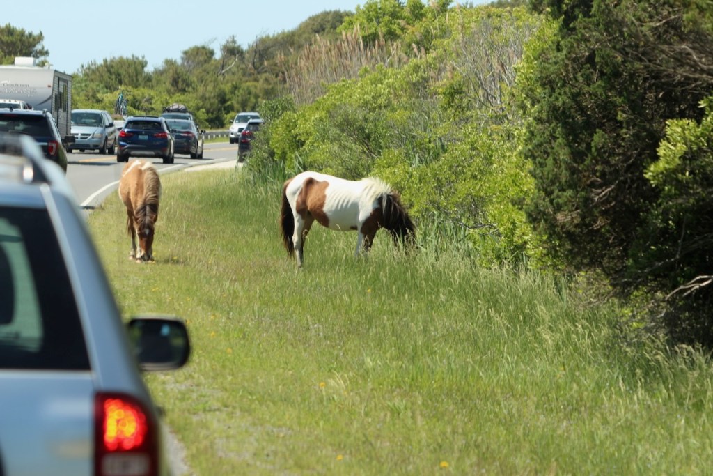
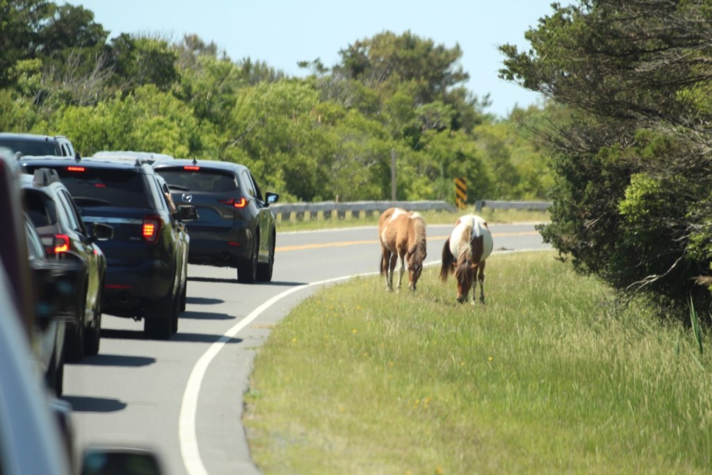
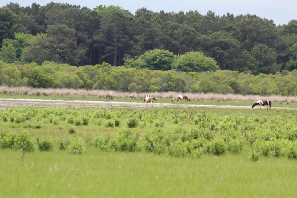
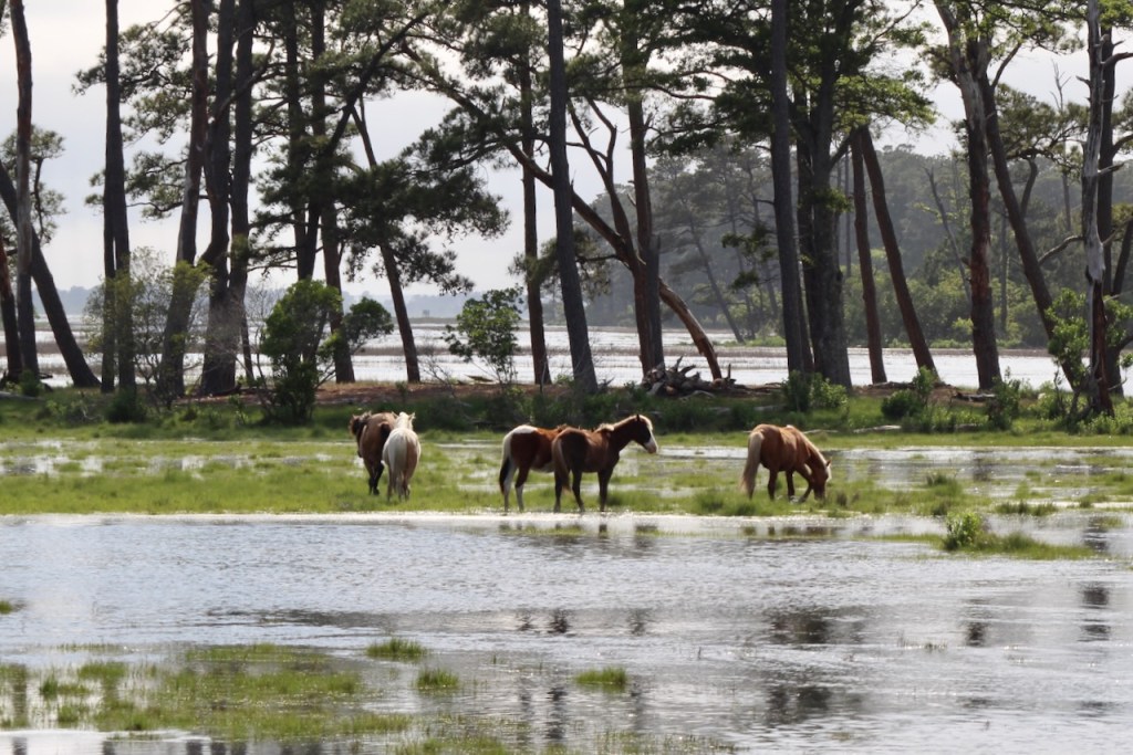
The next morning, we decided to explore the National Seashore part of the island. At this end of the island the asphalt park road goes for about 4 miles. Similar to the bison slowdowns we experienced in Yellowstone, here there were folks stopping to take photos of the horses along the road.


These shots are on the bay side of the island – where we saw marshes, crabbers, and a barn swallow.


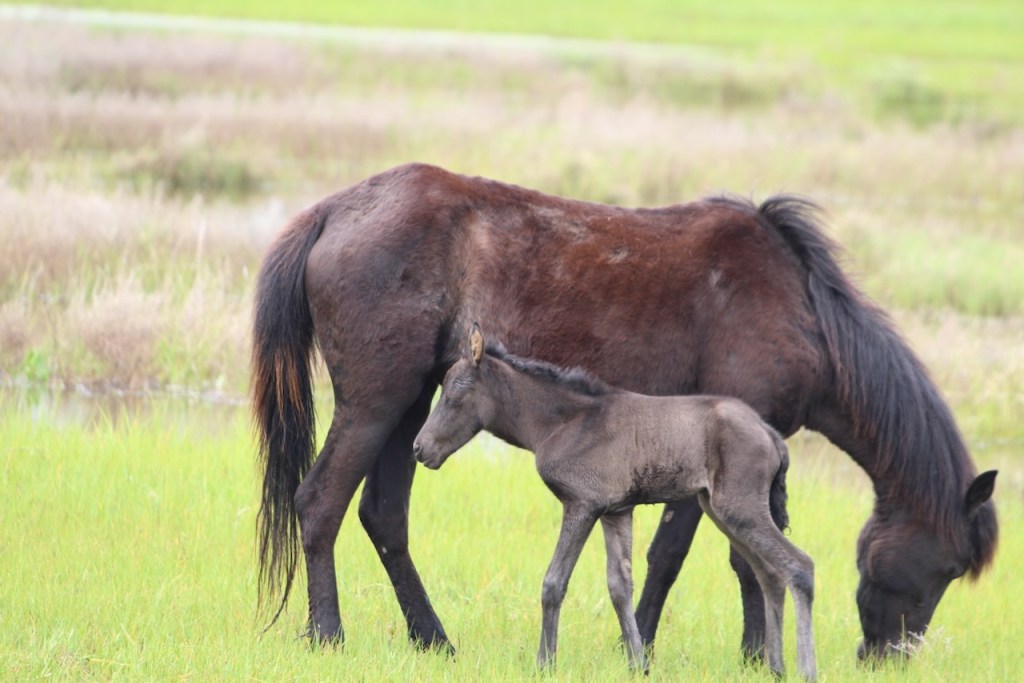
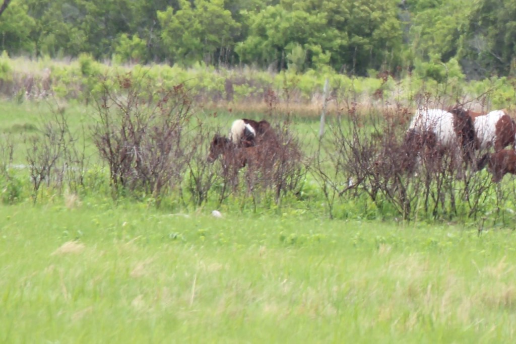
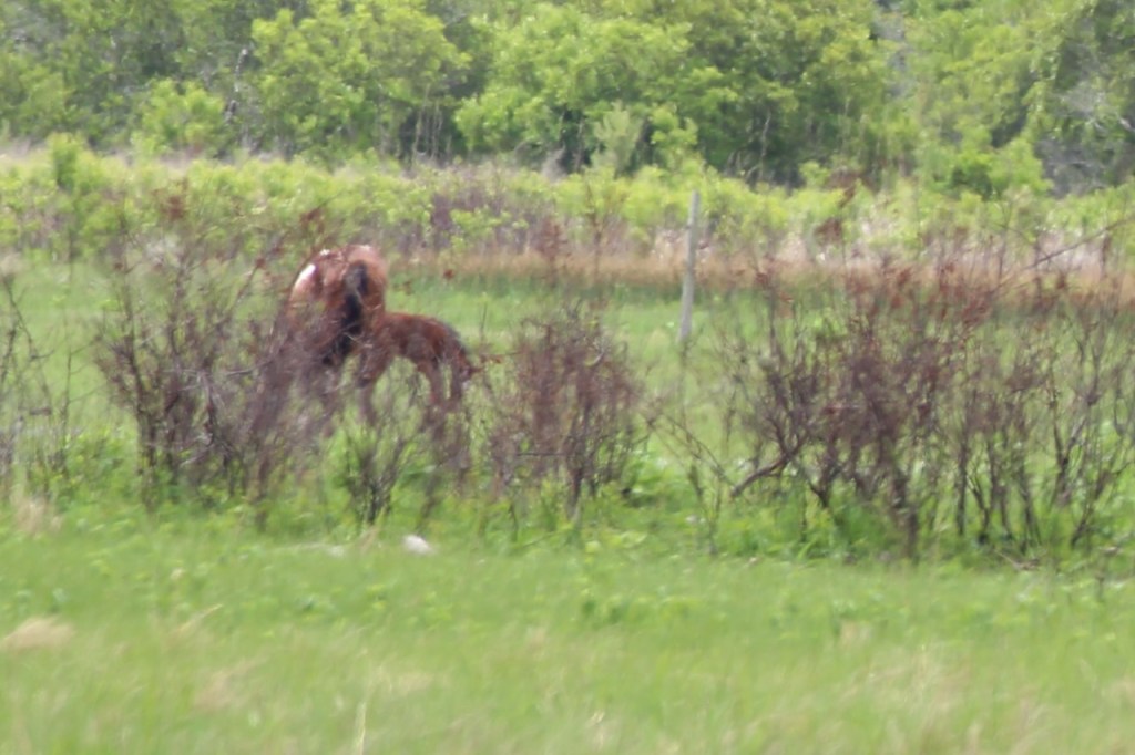
On the way out of the park, there was a foal that was getting everyone’s attention. Then it was back to the mainland – the bridge to the left of the auto bridge is a pedestrian and bicycle bridge – definitely keeps them safely separated from the cars.


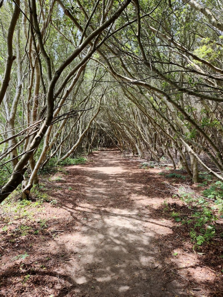
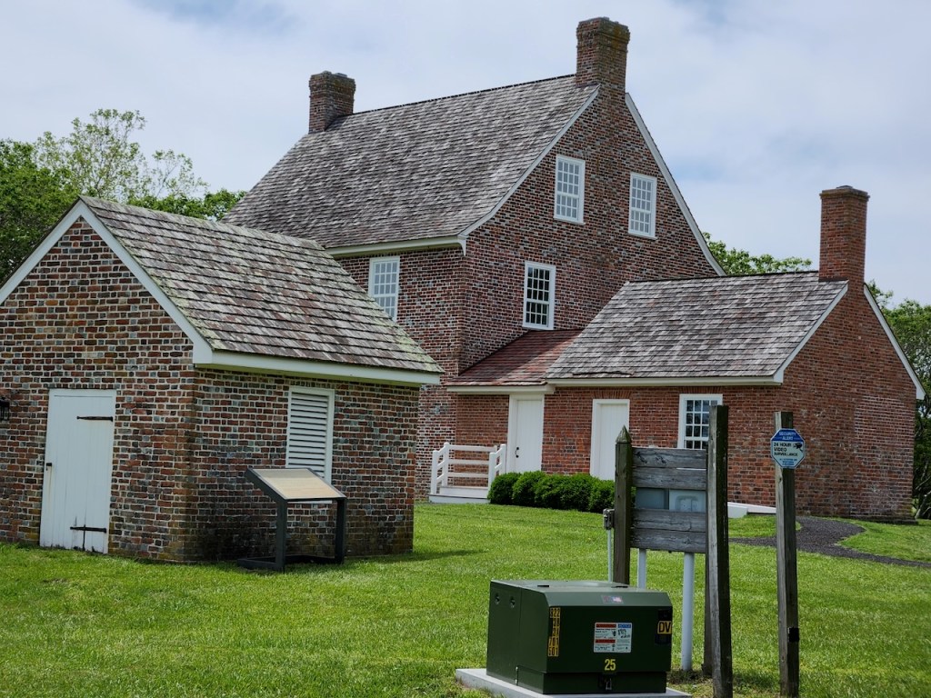
We stopped at the visitor’s center where we were able to see a movie about the history of the island. We learned that in the 1950’s a planned community began developing. But in 1962 a bad storm destroyed nearly all of the buildings. Plans were abandoned, and shortly after the federal government bought the island and it became a National Seashore in 1965. Behind the visitor center was a well shaded path that led to the Rackliffe House. It was built in the 1740’s by Captain Charles Rackcliffe overlooking the bay, and at the time was across from a channel that broke what is now Asseteague Island in two. So he was not only a farmer but also an importer.

On the left is a pre-electricity toaster – placed near the coals in the fireplace, you could spin the bread holding part around to toast the other side. And on the right you can see the interior of the Milk House – there were three steps down into the building so the work of churning butter and making/storing cheese was done below ground level, keeping things a little cooler.

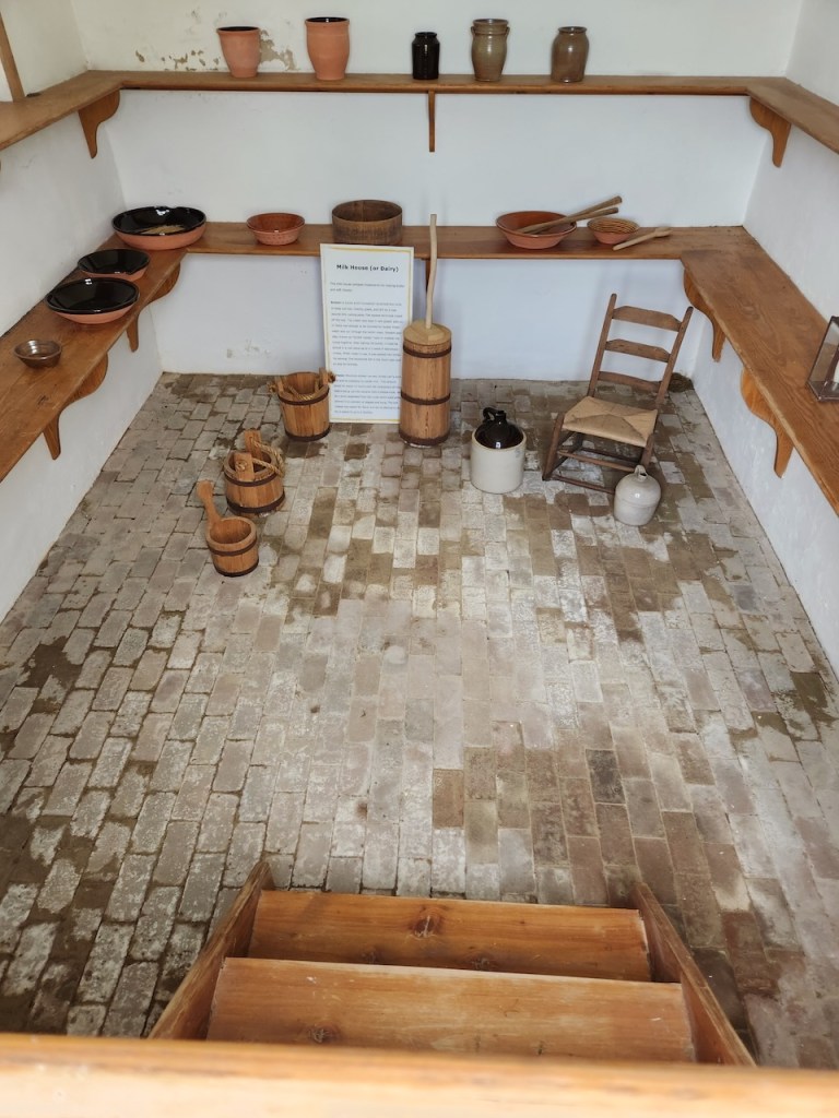
Exterior of the Rackliffe House – the shot on the right shows the exterior of the Milk House

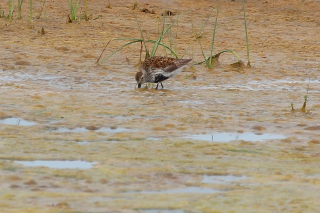
Then we were on to Chincoteague Island – which is near the southern tip of Asseteague Island. I didn’t say before, but the entire Asseteague Island is the National Seashore – it is 37 miles long, with the northern portion being in Maryland, and the southern 8 miles in Virginia. There is no camping on the Virginia portion, so we stayed in a commercial campground in Chincoteague. We had been here in 2019 for 2 nights, and the full day we had then was pouring rain. We were staying 3 nights this time, but Wednesday was another day that we were expected to get rain, so as soon as we had set up camp, we were off to explore the park. Our first activity was to drive the wildlife loop – a 3 mile loop along the marshes. Guess what, we saw a beaver – something different than the plovers, ruddy turnstones, willets and egrets that we commonly see (though we saw those too!)


Then we spotted some of the ponies that are at this end of the island – not a close as walking through our campground. We later found out that at this end of the island, there are fences to keep the ponies separate from us people.
On the way back to the campsite, we saw more marsh and saw this guy actually snag a crab!

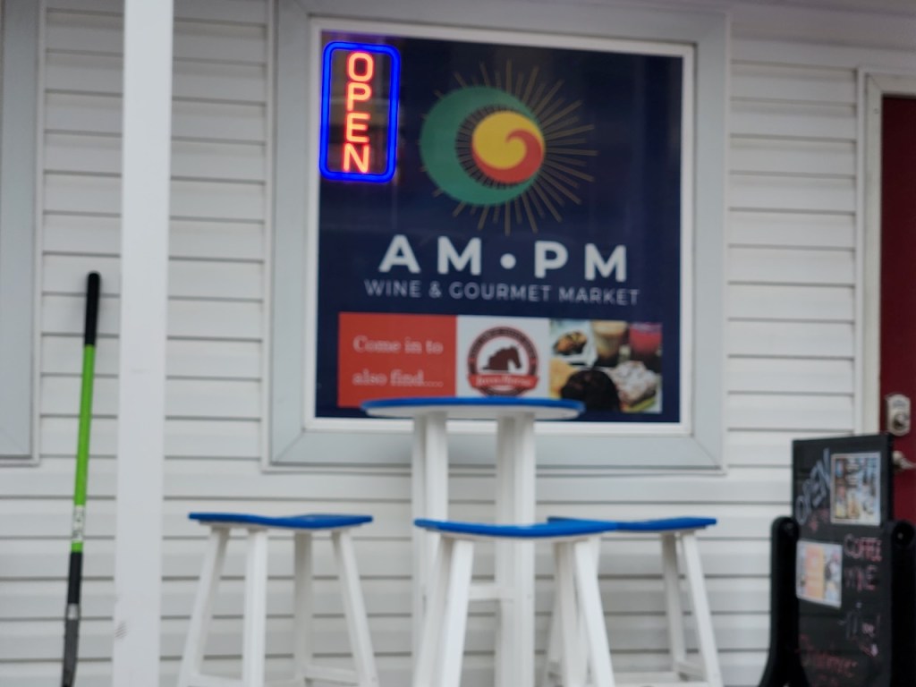
The weather on Wednesday, May 21 was exactly as predicted – it poured. But our site was directly across from the laundry room, so that was the chore for the day. Late in the afternoon, it had let-up a bit, so we went for a late lunch/early dinner and then drove around Chincoteage Island. It was still too wet but do anything but take a few pictures of the sites. Not sure if you can tell, but the water along this causeway is pretty high, though not over the road. That’s a statue of Misty of Chincoteague, made famous in 1947 in a book by the same title that was made into a movie in 1961. There’s a mural showing the history of the island and I couldn’t resist taking this picture of this wine and gourmet shop that had our initials as its name. Then it was back to the RV for more relaxing.


Thursday we had booked a 10 AM Around the Island Boat Tour with Captain Dan. The major goal of the tour is to see the Chincoteague Ponies close up. By going by boat around Chincoteague Island, you spend a large portion of the trip along the Asseteague Island coast, and can go close in to the areas where the ponies fenced in areas are. The ponies at this end of the island are owned by the Chincoteague Fire Department. Only publicly owned herds are allowed to graze on Asseteague and the FD pays a fee each year for that right. You may have heard about the Pony Swim that is held here annually – they round up all the ponies and foals and swim them across the channel to Chincoteage, where all the animals receive a vet check. Most of the foals are then auctioned off. This provides funding for the FD and keeps the herd from becoming too large. Foals that are bought go for between $1.5k and $2,5k. On the other hand, some of the ponies are retained to keep the herd going – these are auctioned for naming rights, and they can go for up to $50k. What, for that money you don’t actually get a pony? Well, I guess it is very prestigious to be able to say you own a pony on the island, and these days consortiums are put together to do the bidding. Captain Dan is a part owner of several ponies, and only paid $200 for his shares.
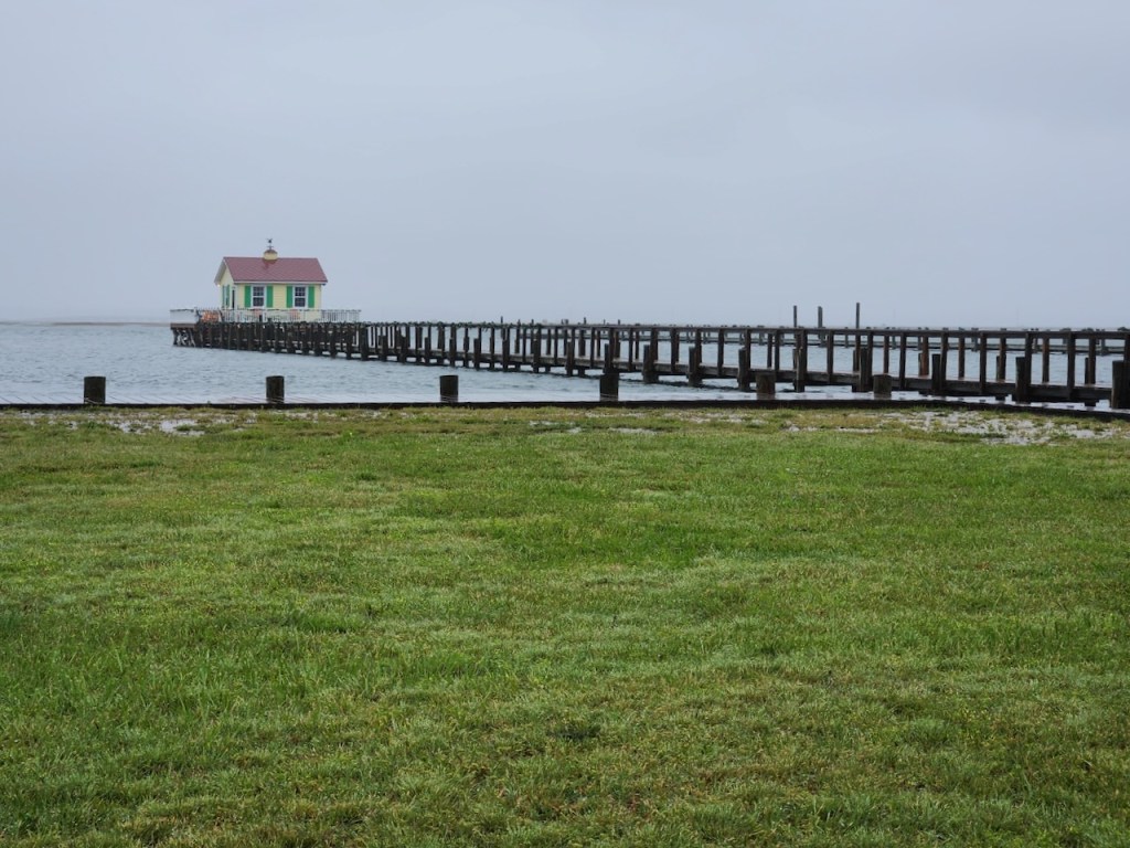
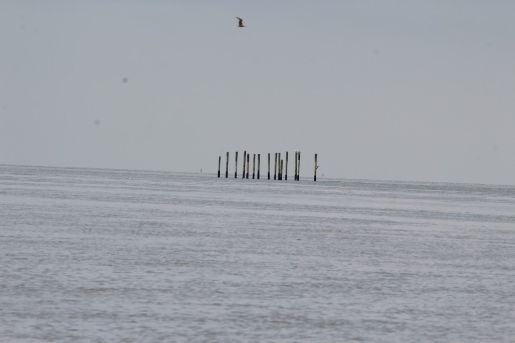
I asked Captain Dan what these posts sticking out of the water were. He said that until the Halloween Storm of 2019, there was a house sitting on them, similar to the ones you see in the other two pictures. With no running water or electricity (unless there is a generator), these rae used a summer cabins to enjoy fishing and boating.


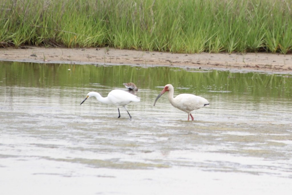
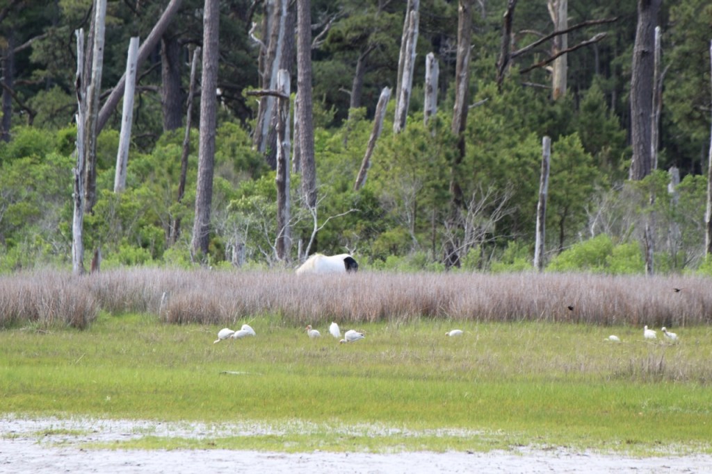
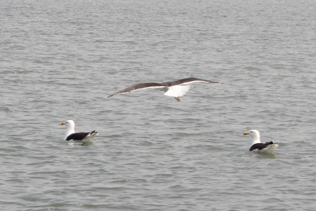
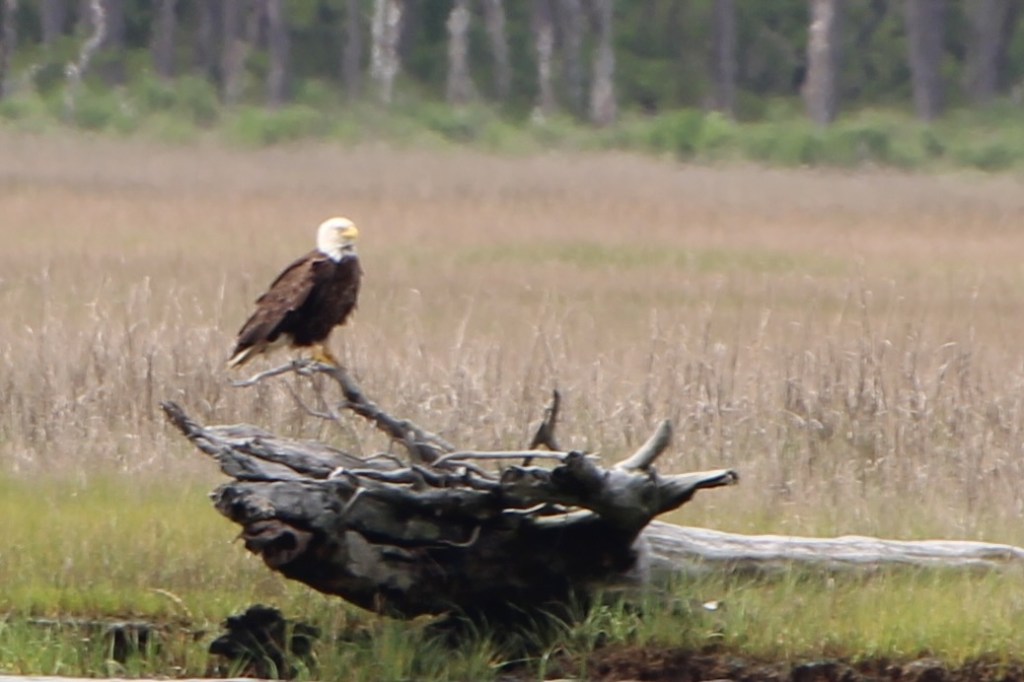
We didn’t see too many horses at the southern tip of the island, and we couldn’t get too close to the ones we did see. We did see some birds including ibis, gulls, egrets and a bald eagle


Soon we were heading to the other side of the bridge that leads to the National Seashore.


Once we had made it to this part of the island the ponies were actually grazing right along the shore and Captain Dan just nudged the boat right up to the land so we could get a really good look. Most of the bands are a stallion and his mares and foals, there are some bands that are the younger stallions that haven’t gotten their own brood yet. All of the ponies have names, and Captain Bob identified the groups by the name of the stallion that was in it. I have to say, I don’t remember any of the names – but we were told that some of these are descendants of Misty.


We went to one last location – where although we weren’t too close, we could see 5 different bands of ponies from one spot.


I haven’t said that on board with us was a woman, Darcy, who helps keep track of all the new foals that are born each year. She photographs them and puts together a book for the auction. She normally hikes out to the ponies, but because there were thunderstorms forecasted in the afternoon, she didn’t want to risk being caught 5 miles from shelter. Well, she spotted a new foal – it was the 69th since the last pony swim. The mare and the foal were hiding behind these bushes but you can see them in these my two photos – and even better in the photo I stole from DSC Photography (Darcy’s site) on Facebook. This also made Captain Dan a “grandpa” as he was a part owner of the mare.

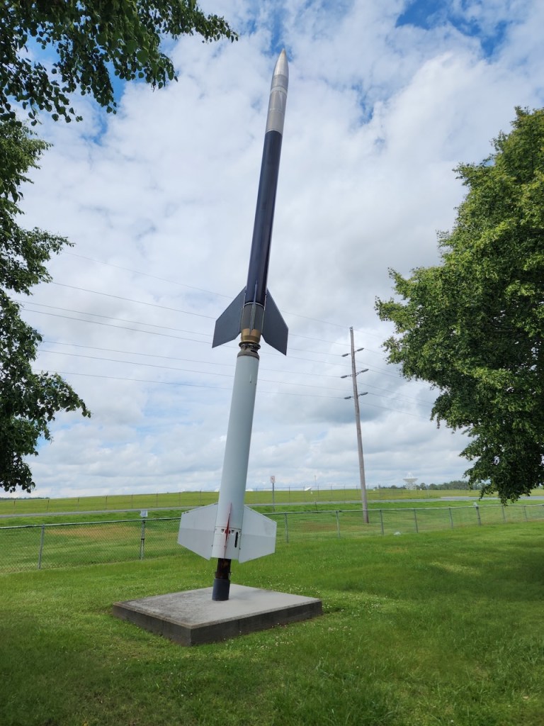
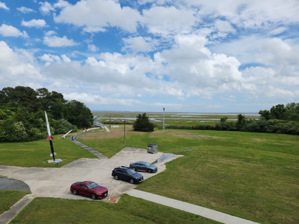
Captain Dan’s son recommended a place for breakfast for lunch, which we tried. It was a local spot, but it was pretty good. Then it was off to the Wallop’s Island Visitor Center – the last time we had been in town we had seen this place, but it wasn’t open. We discovered that it is one of NASA’s busiest rocket launch sites – all unmanned, mostly research flights and satellite launches. They had flown resupply trips to the International Space Station, but not in the last three years because their rocket engine needs repairs. They had several examples of the rockets they have launched spread across the grounds.

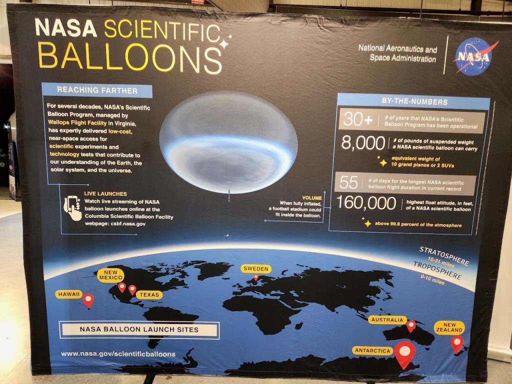
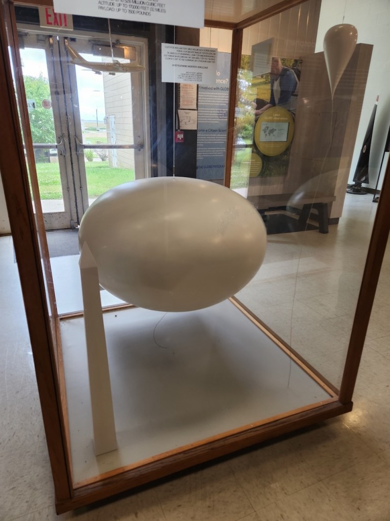
This facility is also responsible for the scientific balloons that NASA launches around the globe – we couldn’t believe how big they are. When inflated they could encase an entire football stadium and in the launch configuration they are nearly 1.6 times as high as the Washington Monument.

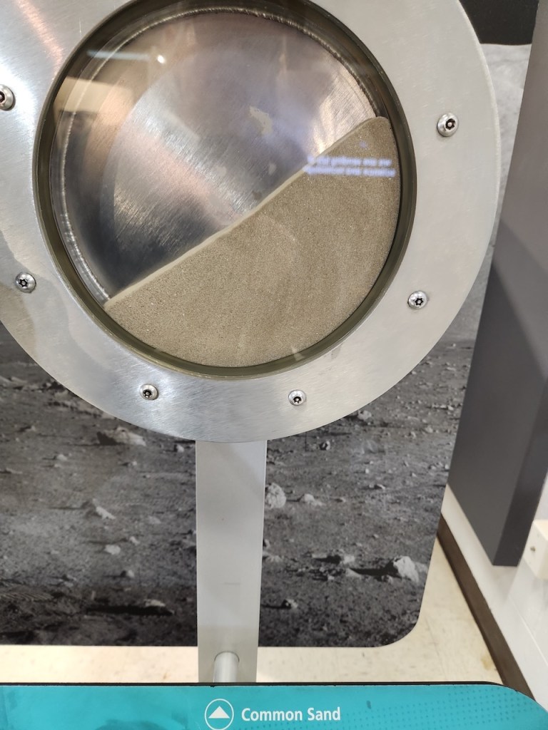
I also found this exhibit interesting. The wheel on the left is filled with sand – when you turn the wheel the slant that you see there is as high as it will get, without the sand slipping down. The wheel on the right shows what happens with “sand” on the moon – it gets almost vertical before it falls.

You can’t see the launch site from the visitors center, but you can look over to where the bleachers are that allow you to see the actual launch. I read that there are several other places where you can see the launches. On some of the launches, they close the beach, so people know that the launch is coming. The satellites launched here are also part of the NOAA, helping to provide your weather forecast.

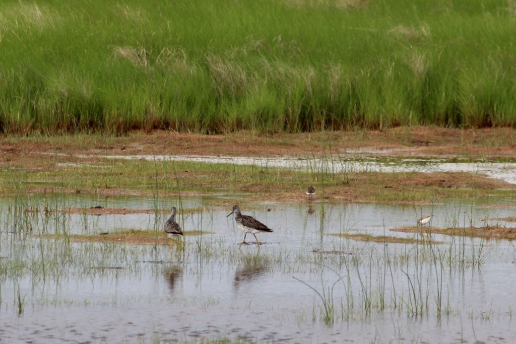
We had time for one more ride around the wildlife drive where we saw these yellow-legs (not sure if they were greater or lesser) and more willets. When we drove by the spot where you can see the ponies from the road, they were actually as close to the road as we had seen them – although mostly we saw rumps.

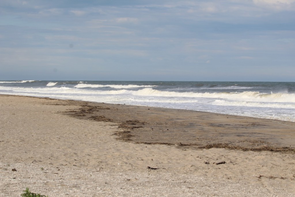
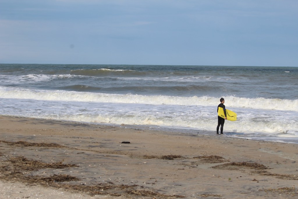
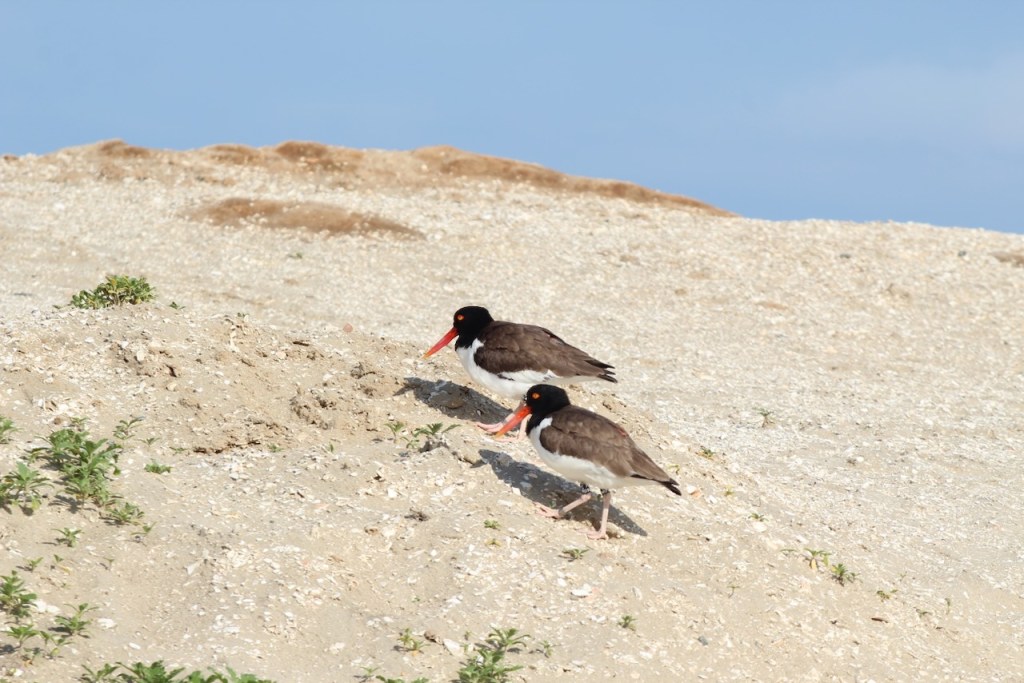
We then drove out to the beach – there were some decent waves and a surfer assessing them. Plus some oyster catchers and a ruddy turnstone.

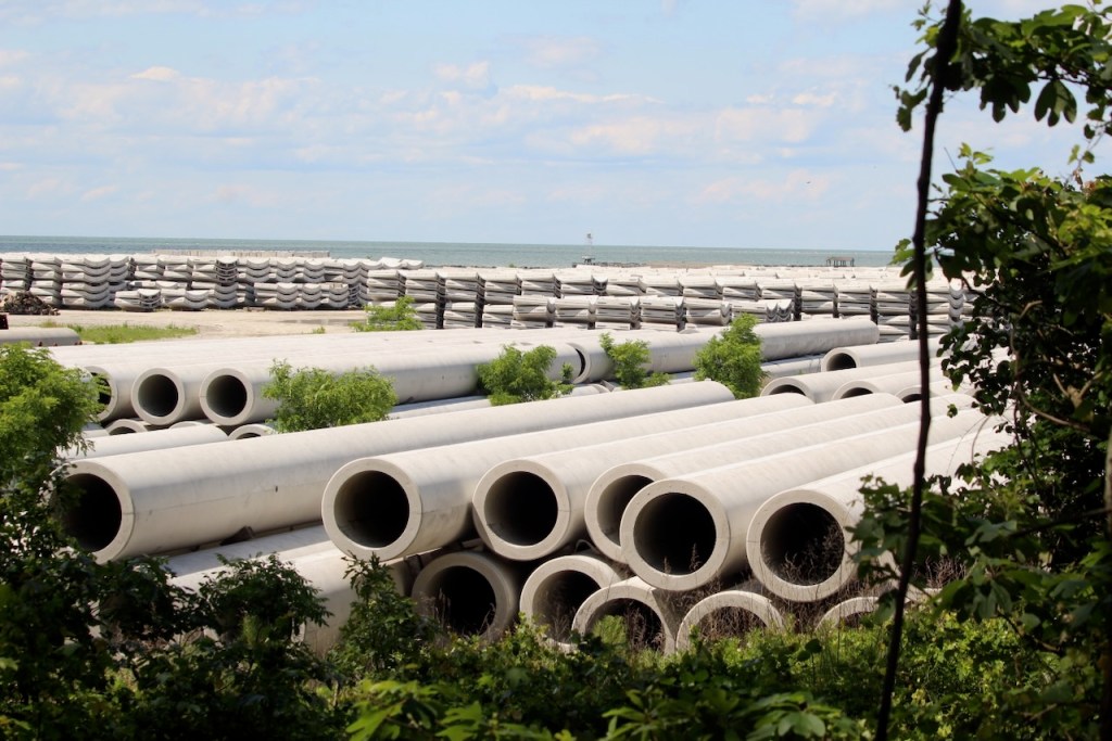
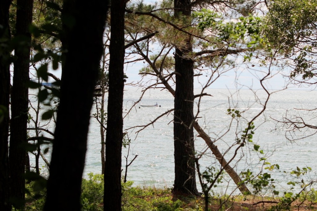
On Friday we packed up camp and headed further south to Port Charles. We stopped at the Port Charles Natural Area Preserve, where we had some lunch in the RV and then walked the boardwalk. It was next to a plant that had all these pipes outside – it turned out to be a concrete factory where they make precast parts – like you would see along a highway as sound barriers. At the end of the trail, we almost got a view of the Chesapeake Bay. We didn’t see any birds, but we did see this bunny.

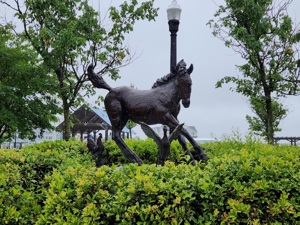
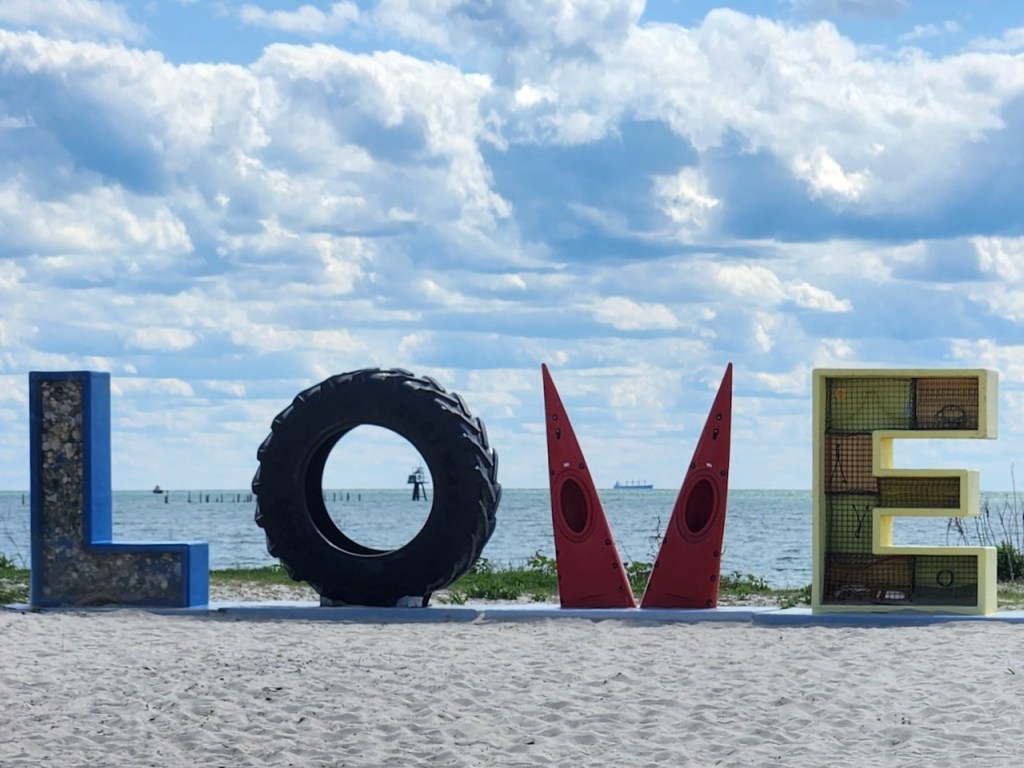
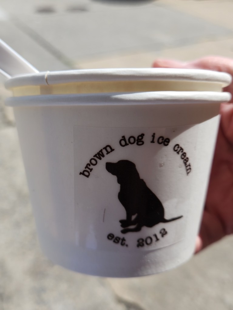
Then we drove into town, there was a nice beach with this outdoor art. We parked the RV and walked the Main Street. Of course our fist stop was for ice cream, and then we found a distillery. We each had a cocktail – I had a berry crush and Trish had a Manhattan.


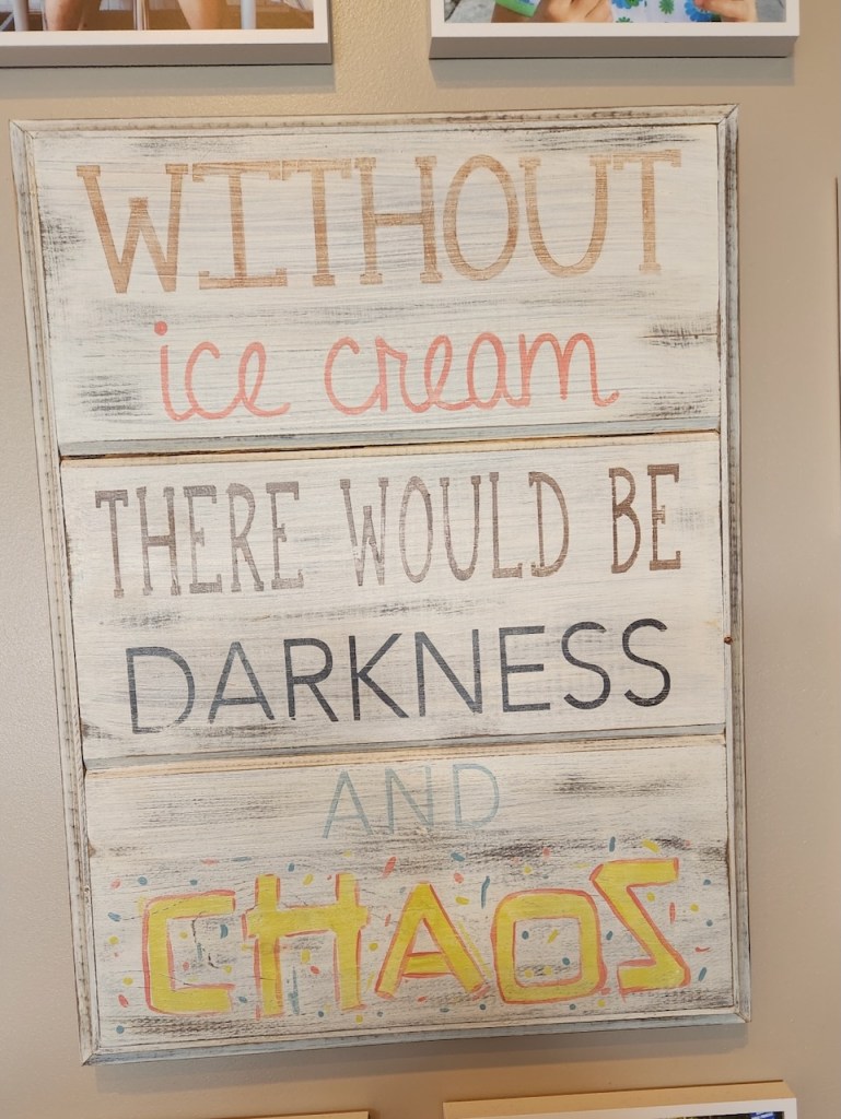
This sign was on the wall of the ice cream shop and driving out of town we saw this water tower – disguised as a lighthouse.

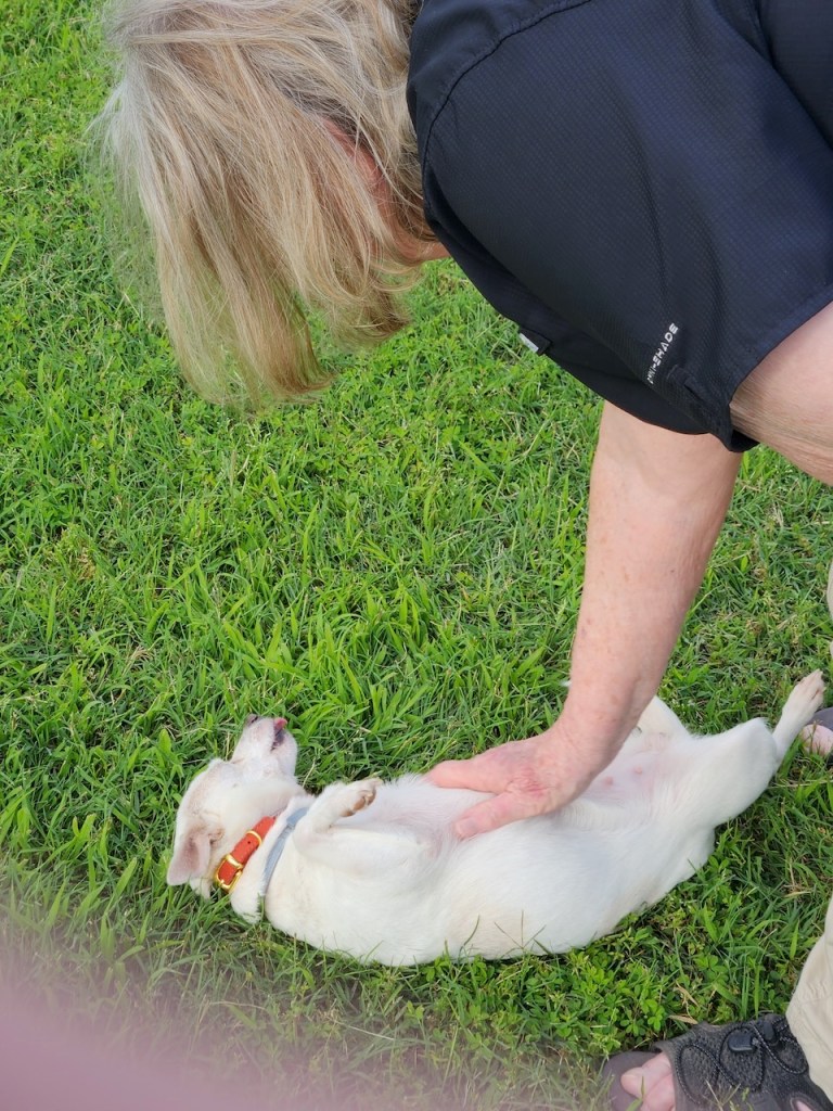
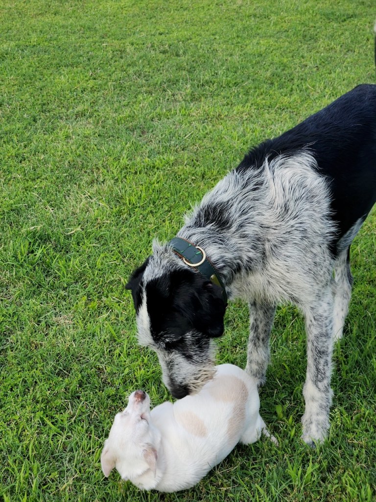
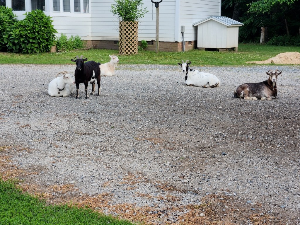
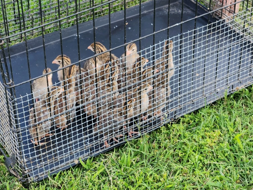
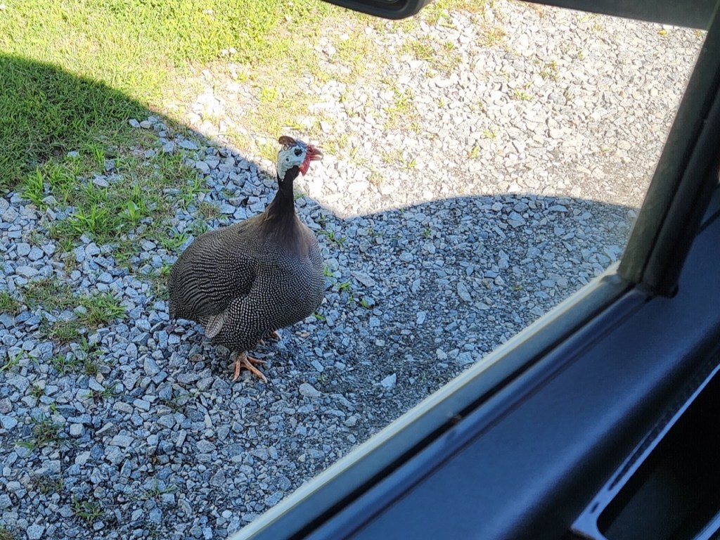
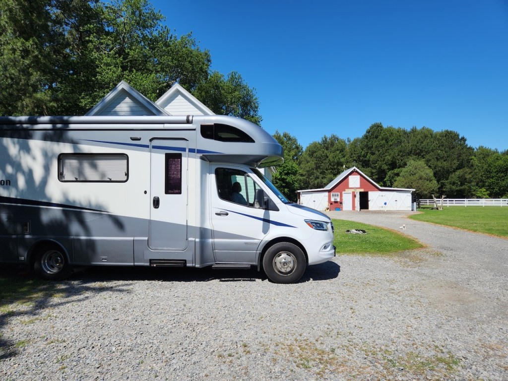
That night we were staying at Arlington Farm. There weren’t any cats, but there was a little puppy that Trish showed some love to, and then there was Buddy. Plus there were Guinea Fowl chicks, goats, ducks, chickens and probably some other animals.
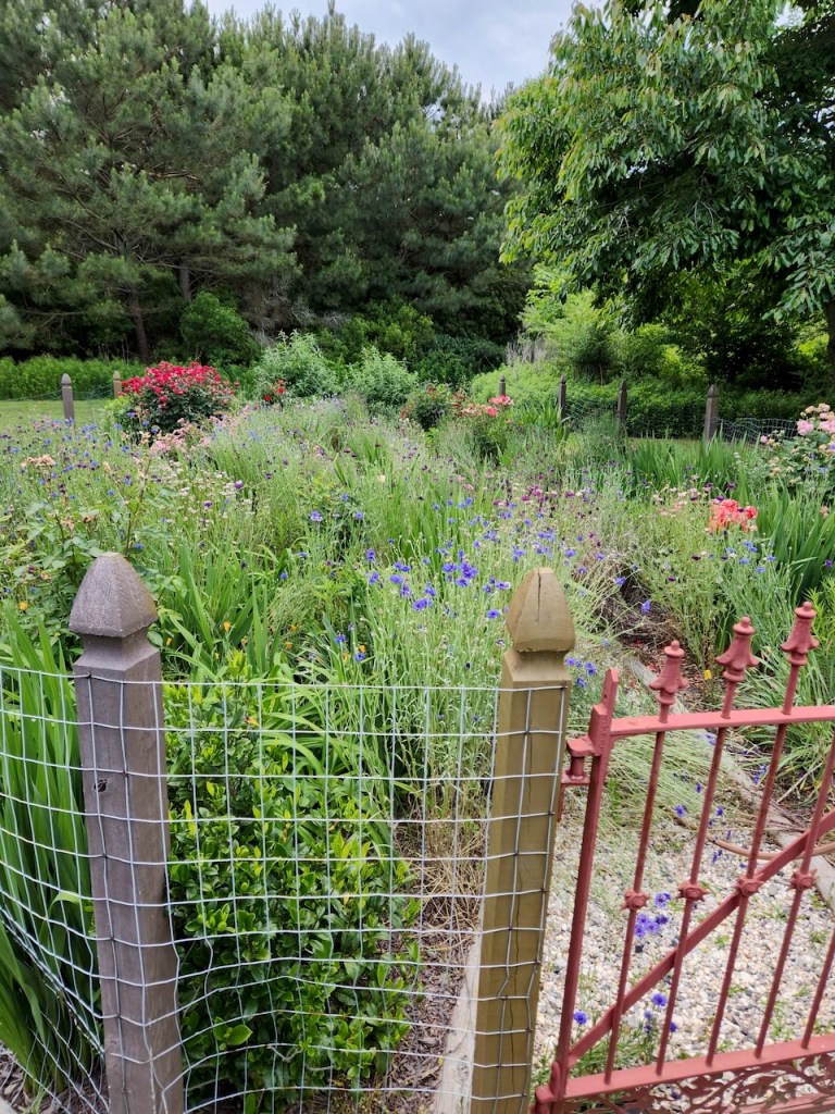
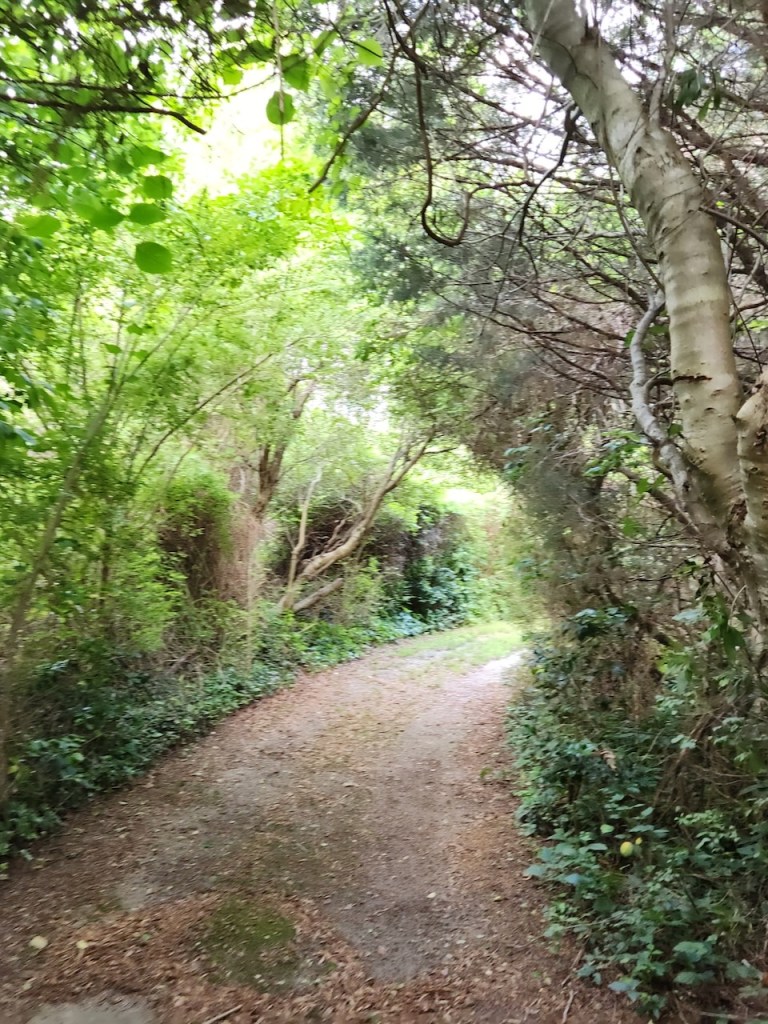
Paul gave us a tour of the property on his 4-seater golf cart. There was a vegetable garden, a flower garden, fruit trees, bee hives and plenty of walking paths. The farm is on Custis Tomb Road – if you think you know that name maybe it is because of Martha Custis Washington. This farm is on what was her home when she was married to and then the widow of Daniel Custis. All of course before she married George.
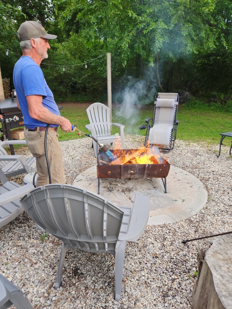
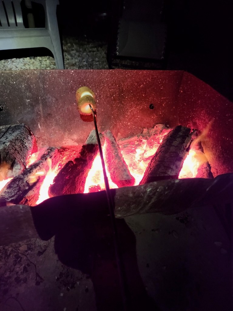
Paul started a fire – yes, by using a propane blow torch. After sitting around the fire and visiting with the guests that were staying in the Airstream that is on the property as an AirBNB, I broke out the sticks for some s’mores. If you are ever in Port Charles, look this place up for a place to stay. Before we left the next morning, the guinea hen came for a visit – we think she saw herself in the hubcap.
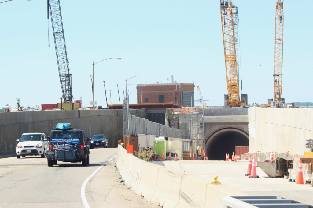
On Saturday, May 24 we needed to pick up our car in Virginia Beach before noon, so we packed up and got on the way over the Chesapeake Bay Bridge Tunnel – some peoples nightmare. But they are building a 2nd tunnel, so soon that portion won’t be just a two lanes.


All about our Virginia adventures in my next post.
Until then, Safe Travels!

Leave a comment